Africa4x4
African Adventure - Our Trip
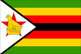
Republic of Zimbabwe
Dates: 27th October 2009 to 13th November 2009
17 Days
Zimbabwe miles = 2084 miles (3333 km)
Trip miles = 22336 miles (35738 km)
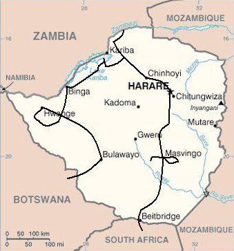

Zimbabwe Overview (as at 2010)
Zimbabwe at 390,000 km2 (UK 243,000 km2) is larger than Germany. It has a population of 13,000,000 (UK 62,000,000) and a population density of 33.3 per km2 (UK 255 per km2).
A landlocked country bordered by: Mozambique for 1231 kms; South Africa for 225 kms; Botswana for 813 kms; Zambia for 797 kms; and Namibia for a few metres. Formerly Rhodesia
Low point = 162 metres at confluence of the Runde and Save (or Sabi) Rivers in south-eastern corner on Mozambique border: High point = 2592 metres Mount Inyangani in the Eastern Highlands on the Mozambique border.
Capital – Harare
Official language
Shona and Ndebele are spoken by vast majority although English is the official language.
Entry issues: Passports with 6 months remaining after departure date; 2 blank pages required. Visas required by UK Nationals for stays up to 90 days. Single entry cost = US$55. Customs suspicious of vehicle contents value and use; insisted on deposit or inspection; soon got bored of inspection. Entry at Beitbridge was a frenetic and stressful crossing; charged 100R for gate exit pass (70R according to internet!). The exit to Botswana at Plumtree was the exact opposite to Beitbridge and very relaxed by comparison. Must get gate pass signed by immigration, carnet desk and customs on exit.
The Kazungula crossing from Botswana for Victoria Falls was very relaxed and used to tourists. Had to pay US$55 visa for each single entry. The time we took the vehicle the Insurance and Road Access Fee was still current but had to pay Carbon Tax but only 50 Pula
Checks - We were stopped at many police checks, the most being 8 in one day. Checks often included military checks for weapons. Low level attempts at corruption from a few officials.
Vehicle issues: Carnet de Passage required. Photo driving licence or international licence required. Drive on left. Insurance, third party = 200R approx; Carbon Tax for 30 days = 270R approx, depending on engine size; Road Access Fee = 270R approx, depending on vehicle size.
2 white reflective strips on front and 2 red on rear as for Zambia. ‘T’ plates front and back required for towing. Many major roads have toll barriers at US$1
Petrol and Diesel; most large towns had garages and petrol and diesel was generally available in at least one of them. Sensible to fill up as and when. All garages are cash only, all attended and usually with a screen washer – small tip usual. Will take US$ and most will take Rand at either 8 to 1 or more often 10 to 1. As with all of Africa, will squeeze as much in as possible, usually leading to spills!
Average cost of diesel = £0.63
Banks; ATMs; Credit Cards
We only used the ATMs in Harare and Bulawayo but other than that not widely available. We were able to withdraw US$ up to our card maximum of US$400 although the machine maximum was US$500. Credit cards accepted in the larger supermarkets in the larger towns but we only came across one in Harare.
(Situation has probably changed since our visit)
Telephones: International dialling code +263. We didn’t buy a Zimbabwe SIM as the street sellers wanted US$40; very expensive and of unknown coverage. Prices are now reducing with three service providers existing.
Time (UTC = Coordinated Universal Time, equal to GMT) = UTC+02
Currency & UK£ rate at time of visit
Since early 2009 US$ adopted as official currency although as there are no coins, smallest denomination is US$1; Rand coins, where available, accepted and given as change but most often change given in sweets!. Rand also generally accepted at either 8 to 1 but more often, 10 to 1 for ease of conversion; therefore best to use US Dollars.
COUNTRY FACTS
Zimbabwe at 390,000 km2 (UK 243,000 km2) is larger than Germany. It has a population of 13,000,000 (UK 62,000,000) and a population density of 33.3 per km2 (UK 255 per km2).
A landlocked country bordered by: Mozambique for 1231 kms; South Africa for 225 kms; Botswana for 813 kms; Zambia for 797 kms; and Namibia for a few metres. Formerly Rhodesia
Low point = 162 metres at confluence of the Runde and Save (or Sabi) Rivers in south-eastern corner on Mozambique border: High point = 2592 metres Mount Inyangani in the Eastern Highlands on the Mozambique border.
Capital – Harare
Official language
Shona and Ndebele are spoken by vast majority although English is the official language.
Entry issues: Passports with 6 months remaining after departure date; 2 blank pages required. Visas required by UK Nationals for stays up to 90 days. Single entry cost = US$55. Customs suspicious of vehicle contents value and use; insisted on deposit or inspection; soon got bored of inspection. Entry at Beitbridge was a frenetic and stressful crossing; charged 100R for gate exit pass (70R according to internet!). The exit to Botswana at Plumtree was the exact opposite to Beitbridge and very relaxed by comparison. Must get gate pass signed by immigration, carnet desk and customs on exit.
The Kazungula crossing from Botswana for Victoria Falls was very relaxed and used to tourists. Had to pay US$55 visa for each single entry. The time we took the vehicle the Insurance and Road Access Fee was still current but had to pay Carbon Tax but only 50 Pula
Checks - We were stopped at many police checks, the most being 8 in one day. Checks often included military checks for weapons. Low level attempts at corruption from a few officials.
Vehicle issues: Carnet de Passage required. Photo driving licence or international licence required. Drive on left. Insurance, third party = 200R approx; Carbon Tax for 30 days = 270R approx, depending on engine size; Road Access Fee = 270R approx, depending on vehicle size.
2 white reflective strips on front and 2 red on rear as for Zambia. ‘T’ plates front and back required for towing. Many major roads have toll barriers at US$1
Petrol and Diesel; most large towns had garages and petrol and diesel was generally available in at least one of them. Sensible to fill up as and when. All garages are cash only, all attended and usually with a screen washer – small tip usual. Will take US$ and most will take Rand at either 8 to 1 or more often 10 to 1. As with all of Africa, will squeeze as much in as possible, usually leading to spills!
Average cost of diesel = £0.63
Banks; ATMs; Credit Cards
We only used the ATMs in Harare and Bulawayo but other than that not widely available. We were able to withdraw US$ up to our card maximum of US$400 although the machine maximum was US$500. Credit cards accepted in the larger supermarkets in the larger towns but we only came across one in Harare.
(Situation has probably changed since our visit)
Telephones: International dialling code +263. We didn’t buy a Zimbabwe SIM as the street sellers wanted US$40; very expensive and of unknown coverage. Prices are now reducing with three service providers existing.
Time (UTC = Coordinated Universal Time, equal to GMT) = UTC+02
Currency & UK£ rate at time of visit
Since early 2009 US$ adopted as official currency although as there are no coins, smallest denomination is US$1; Rand coins, where available, accepted and given as change but most often change given in sweets!. Rand also generally accepted at either 8 to 1 but more often, 10 to 1 for ease of conversion; therefore best to use US Dollars.
Zimbabwe's inflation has soared once more, averaging 69.21% from 2009 until 2020, reaching an all time high of 837.53% in July 2020 from a record low of minus 7.50% in December of 2009 – just when we were there!
GARAGES
Just the one need for a garage
KAROI - Shell Garage Karoi
Coordinates - S16 49.135 E29 41.128.
US$20 labour for an hour
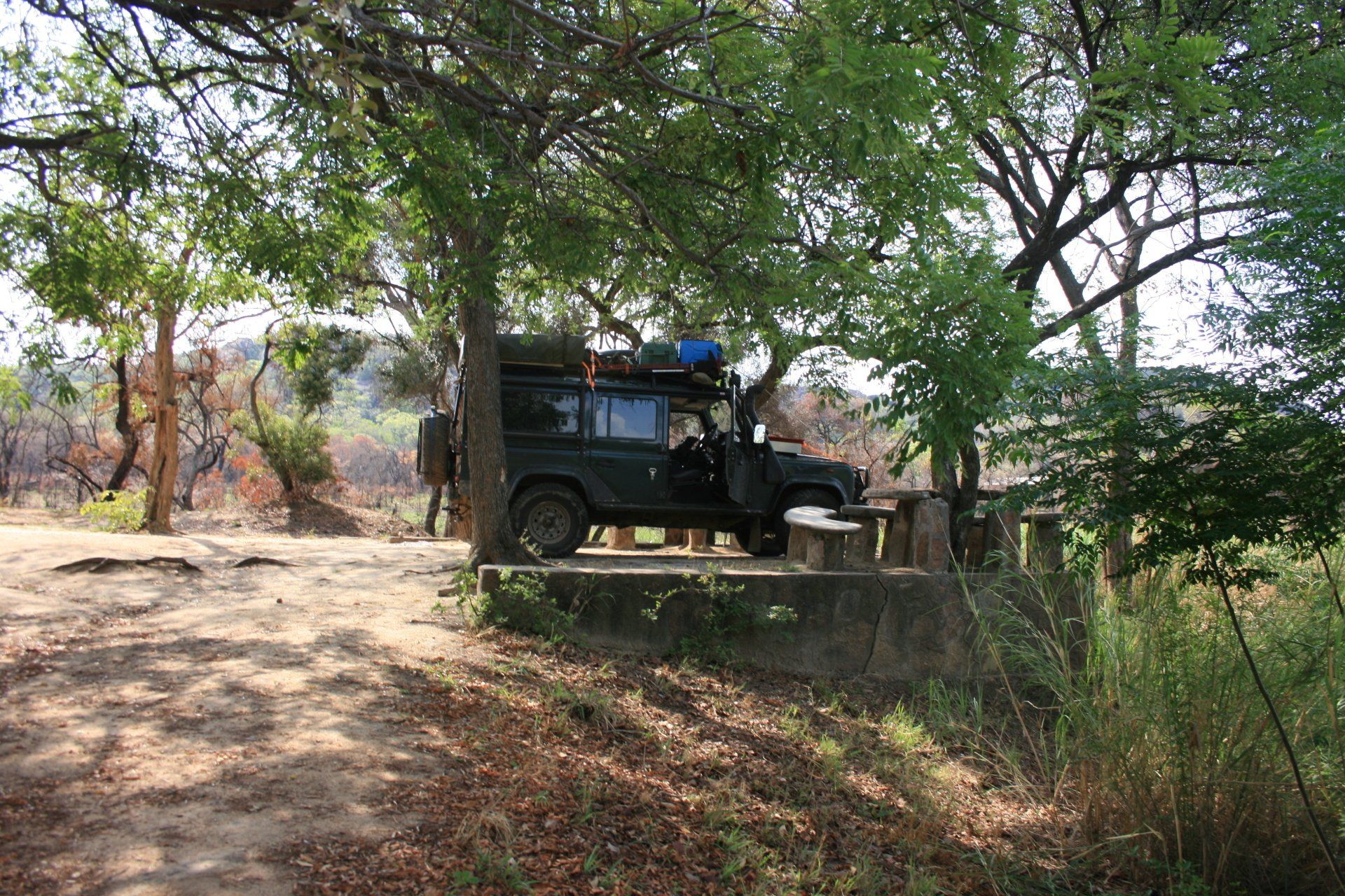
Route & Camping - Zimbabwe
Day 261 - Tuesday 27th October 2009 CONTINUED
South Africa to Zimbabwe
Trip miles = 20252 miles (32403 kms) Daily miles = 84 miles (134 kms)
Daily Route – Tshipise to Messina and up to Beitbridge border crossing, into Zimbabwe and the Bubye River.
Camping – Lion and Elephant Lodge Motel camp, Bubye Bridge. An area set aside for camping that was adequate. Reasonable ablutions but cold showers again. Very nice restaurant with a very reasonable selection, all things considered, at reasonable prices. No electricity.
Cost – US$2.50 per person per night.
Coordinates - S21 42.343 E30 29.995
Altitude = 496 metres
Day 262 - Wednesday 28th October 2009
Trip miles = 20465 miles (32744 kms) Daily miles = 213 miles (341 kms)
Daily Route – Bubye River to Great Zimbabwe Ruins to Masvingo and across on the A9 to the Mashandike Sanctuary Dam.
Camping – Mashandike Sanctuary Dam. A quiet site, just us, next to a dam. Reasonable ablution block. No electricity.
Cost – US$5 per person per night.
Coordinates - S20 08.146 E30 37.115
Altitude = 932 metres
Park fees – Great Zimbabwe Ruins – US$15 per person entrance and US$3 per person for a guide.
Mashandike Sanctuary – US$1 per person per day and US$2 per vehicle.
Day 263 - Thursday 29th October 2009
Trip miles = 20745 miles (33192 kms) Daily miles = 280 miles (448 kms)
Daily Route – Mashandike Sanctuary Dam to Masvingo, up the A4 to Harare and on to Chinhoyi.
Camping – Chinhoyi Caves Sanctuary Campsite, Chinhoyi. A large but empty campsite with a fair ablution block. Electricity.
Cost – US$7.50 per person per night.
Coordinates - S17 21.446 E35 07.860
Altitude = 1246 metres
Park fees – Chinhoyi Caves – US$7.50 per person per day.
Day 264 - Friday 30th October 2009
Trip miles = 20920 miles (33472 kms) Daily miles = 175 miles (280 kms)
Daily Route – Chinhoyi up the A1 to Mana Pools National Park.
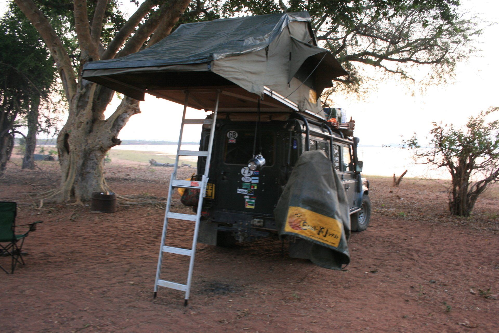
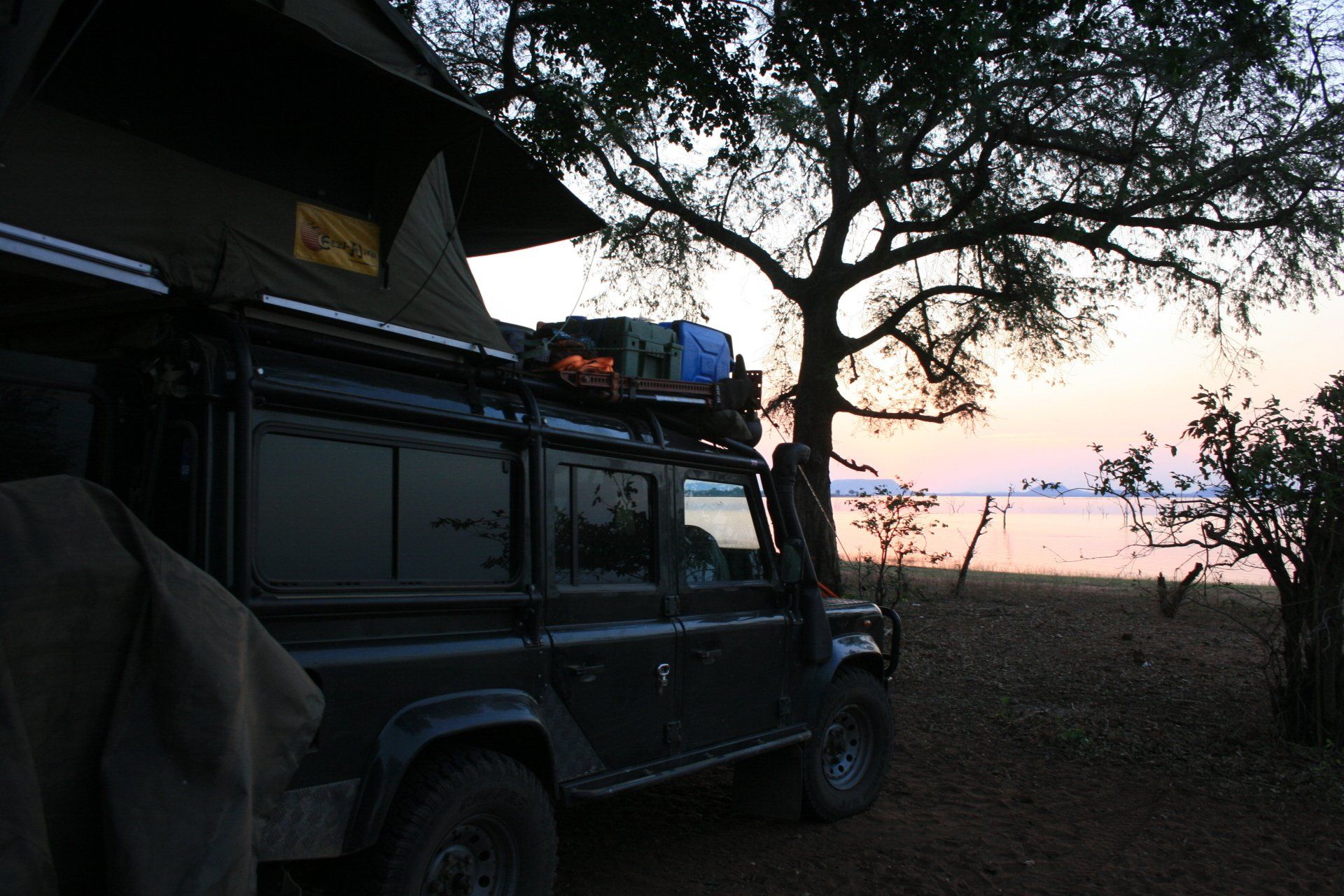
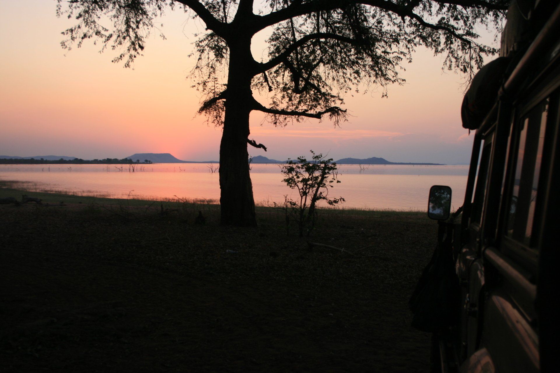
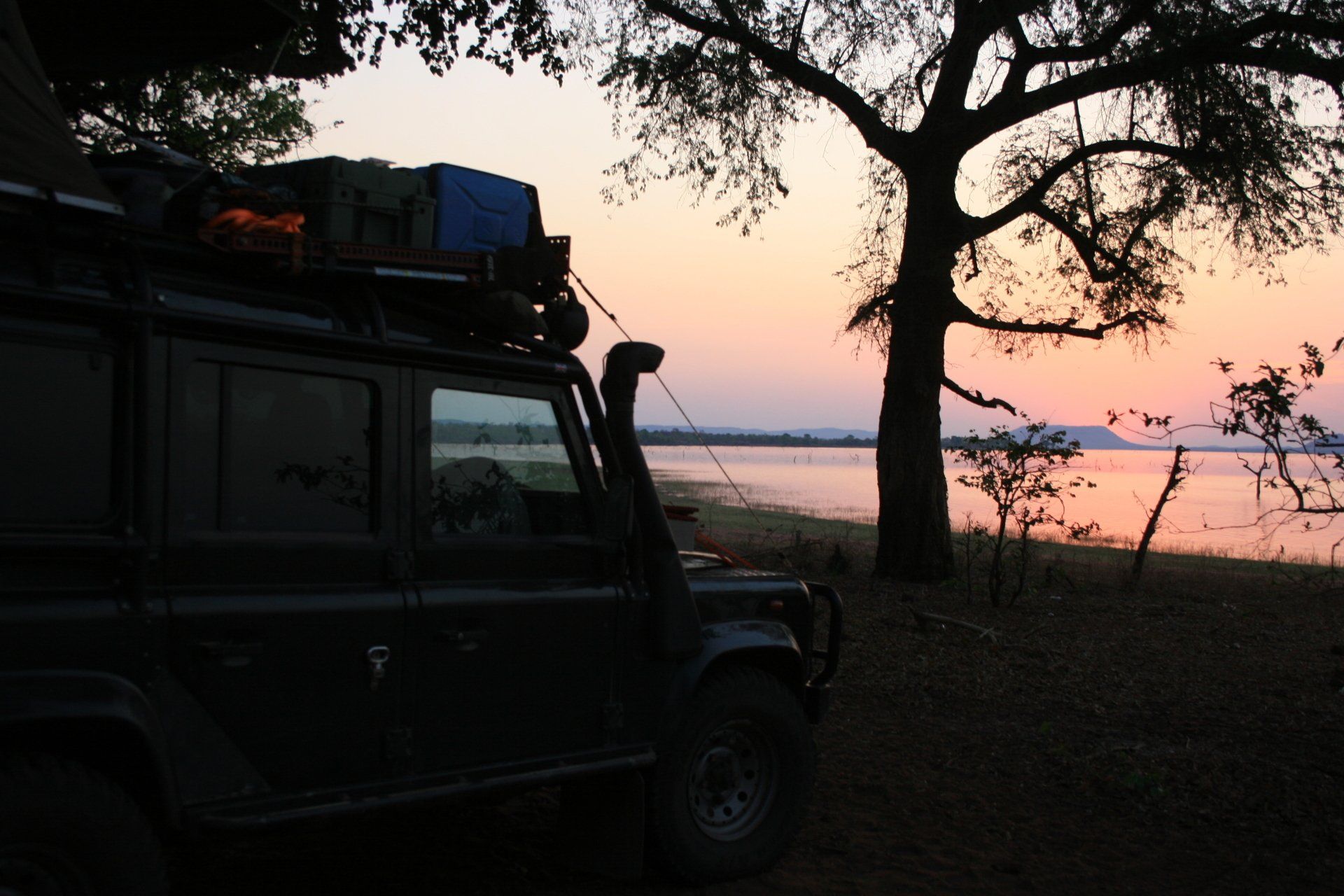
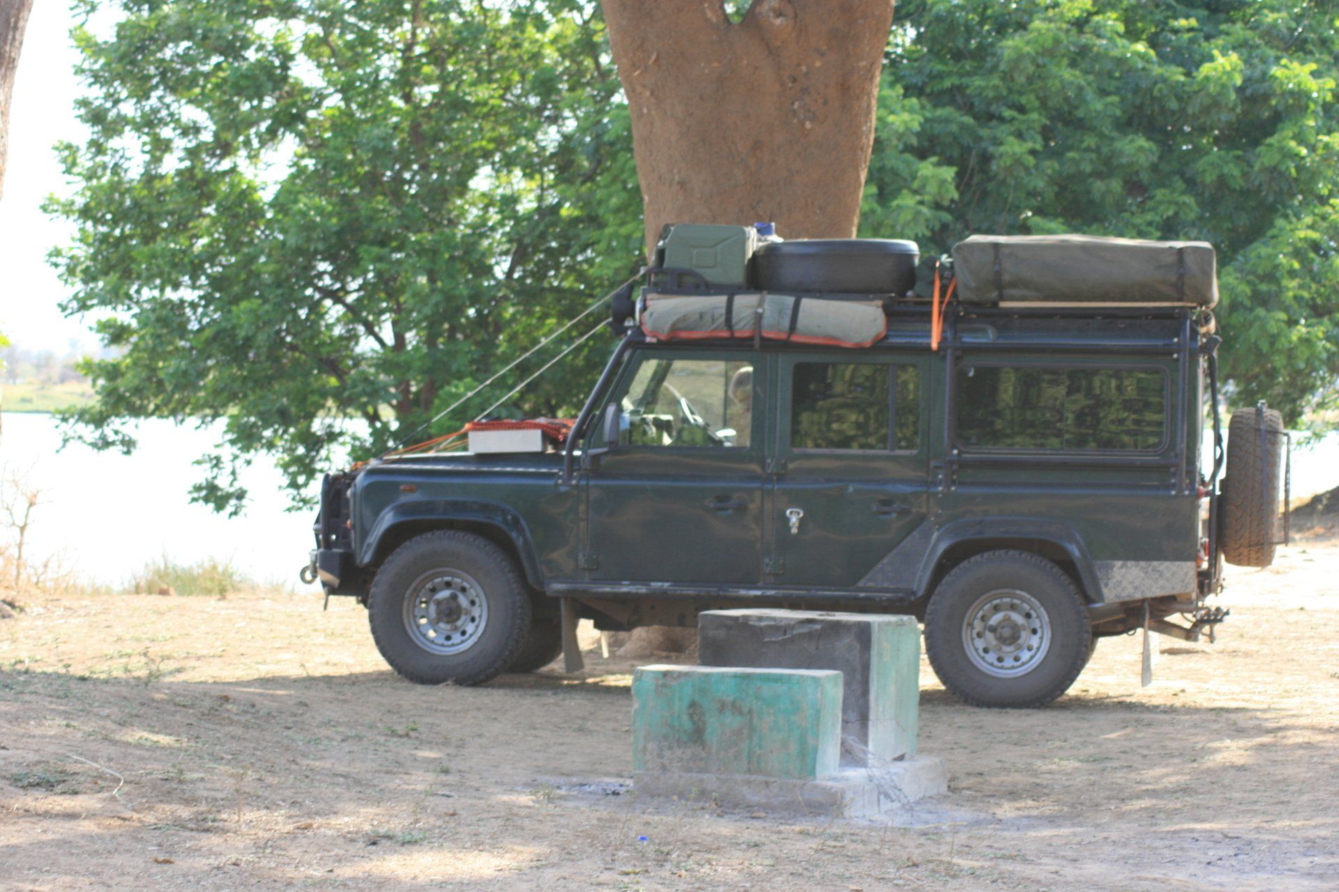
Camping – Nyamepi Camp, Mana Pools National Park Campsite. A lovely spot on the banks of the Zambezi with wild animals wandering through camp. Large site and not busy. Reasonable ablution block with hot showers when they remembered to stoke up the donkey fire. No electricity.
Cost – US$10 per person per night.
Coordinates - S15 43.183 E29 22.056
Altitude = 345 metres
Park Entrance permit – free (obtain from Headquarters at top of escarpment)
Park fee, US$15 per person one off payment + US$3 per vehicle one off payment.
Day 265 - Saturday 31st October 2009
Trip miles = 20948 miles (33517 kms) Daily miles = 28 miles (45 kms)
Daily Route – In and around Mana Pools National Park.
Camping – as previous night.
Day 266 - Sunday 1st November 2009
Trip miles = 20982 miles (33571 kms) Daily miles = 34 miles (54 kms)
Daily Route – In and around Mana Pools National Park.
Camping – as previous night.
Day 267 - Monday 2nd November 2009
Trip miles = 21206 miles (33930 kms) Daily miles = 224 miles (358 kms)
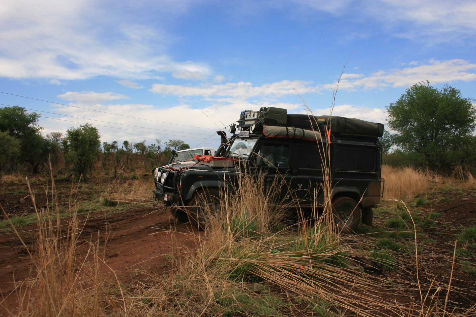
Daily Route – Mana Pools National Park down to Karoi and across to Matusadona National Park.
Camping – Wild camping at the Chifudze Rangers Camp. No facilities but ideal for late arrival at Park.
Cost – free
Coordinates - S17 12.195 E28 29.245
Altitude = 658 metres
Day 268 - Tuesday 3rd November 2009
Trip miles = 21284 miles (34054 kms) Daily miles = 78 miles (125 kms)
Daily Route – Into Matusadona National Park.
Camping – Teshinga Camp, Matusadona National Park. A lovely isolated spot, a little run down, but did have one good ablution block. No electricity. Marred only by the cost.
Cost – US$19 per person per night.
Coordinates - S16 48.813 E28 26.768
Altitude = 490 metres
Park fees – US$15 per person per day + US$5 per vehicle per day.
Day 269 - Wednesday 4th November 2009
Trip miles = 21435 miles (34296 kms) Daily miles = 151 miles (242 kms)
Daily Route – Matusadona National Park to Binga.
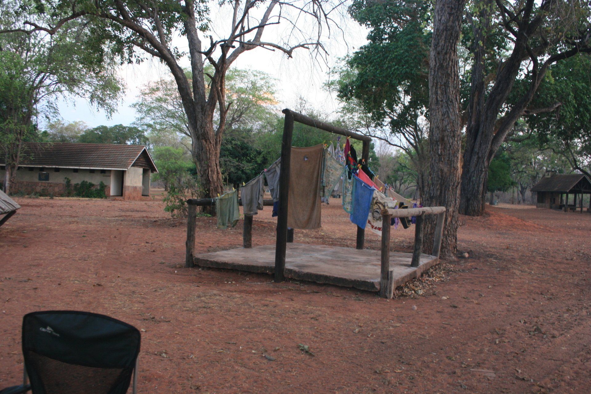
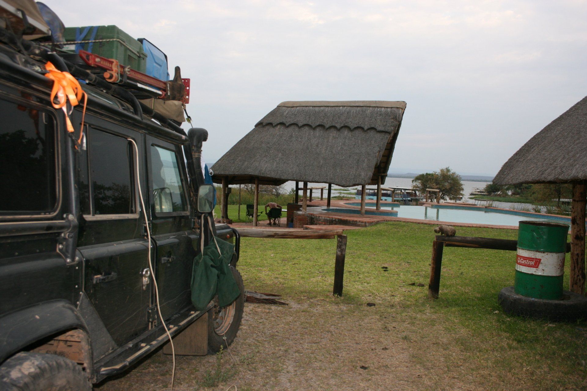
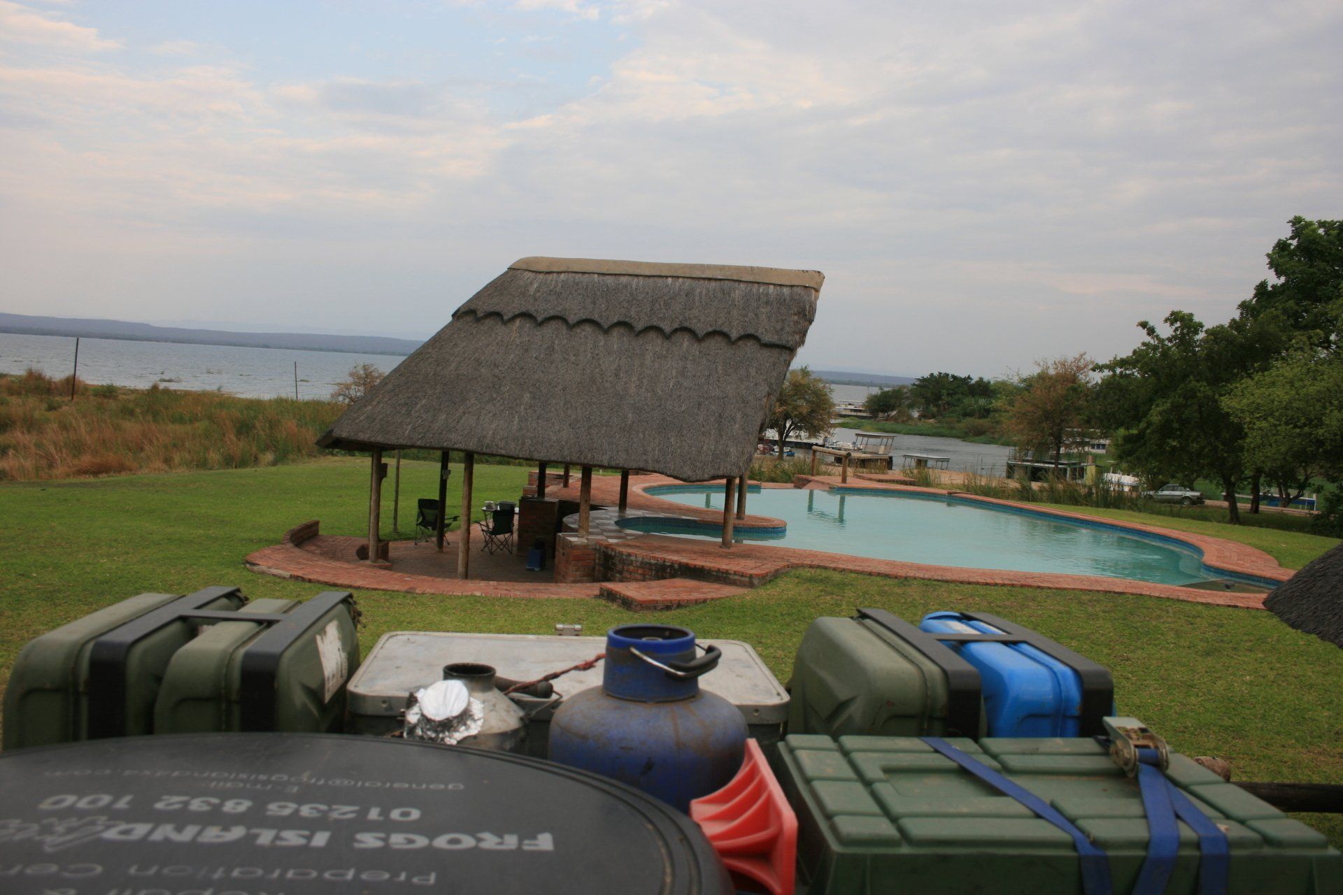
Camping – Kuhzwe Lodge, Binga. A nice site primarily serving the houseboat clients. Good ablution block. Braai area near swimming pool. Electricity. Expensive.
Cost – US$16 per person per night.
Coordinates - S17 35.324 E27 21.543
Altitude = 497 metres
Day 270 - Thursday 5th November 2009
Trip miles = 21619 miles (34590 kms) Daily miles = 184 miles (294 kms)
Daily Route – Binga to Hwange National Park.
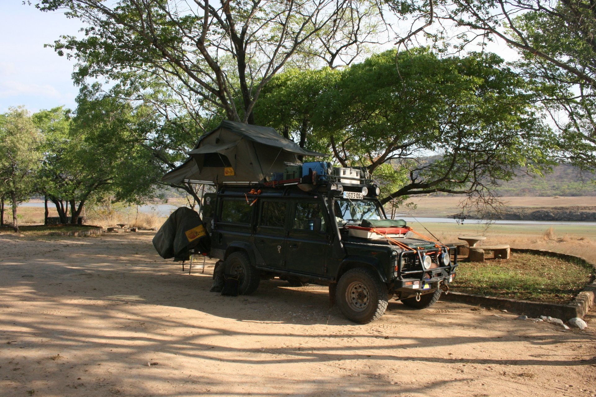
Camping – Main Camp, Hwange National Park. A reasonable site alongside the Main Gate into the huge park. Reasonable ablution block. No electricity.
Cost – US$10 per person per night.
Coordinates - S18 43.972 E26 57.118
Altitude = 1083 metres
Park fees – one-off entrance fee of US$20 per person + US$5 per vehicle.
Day 271 - Friday 6th November 2009
Trip miles = 21675 miles (34680 kms) Daily miles = 56 miles (90 kms)
Daily Route – In and around Hwange National Park.
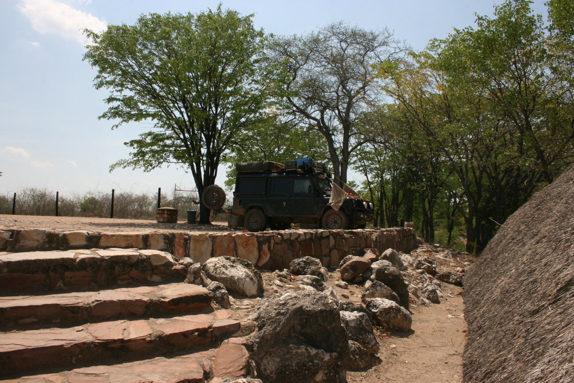
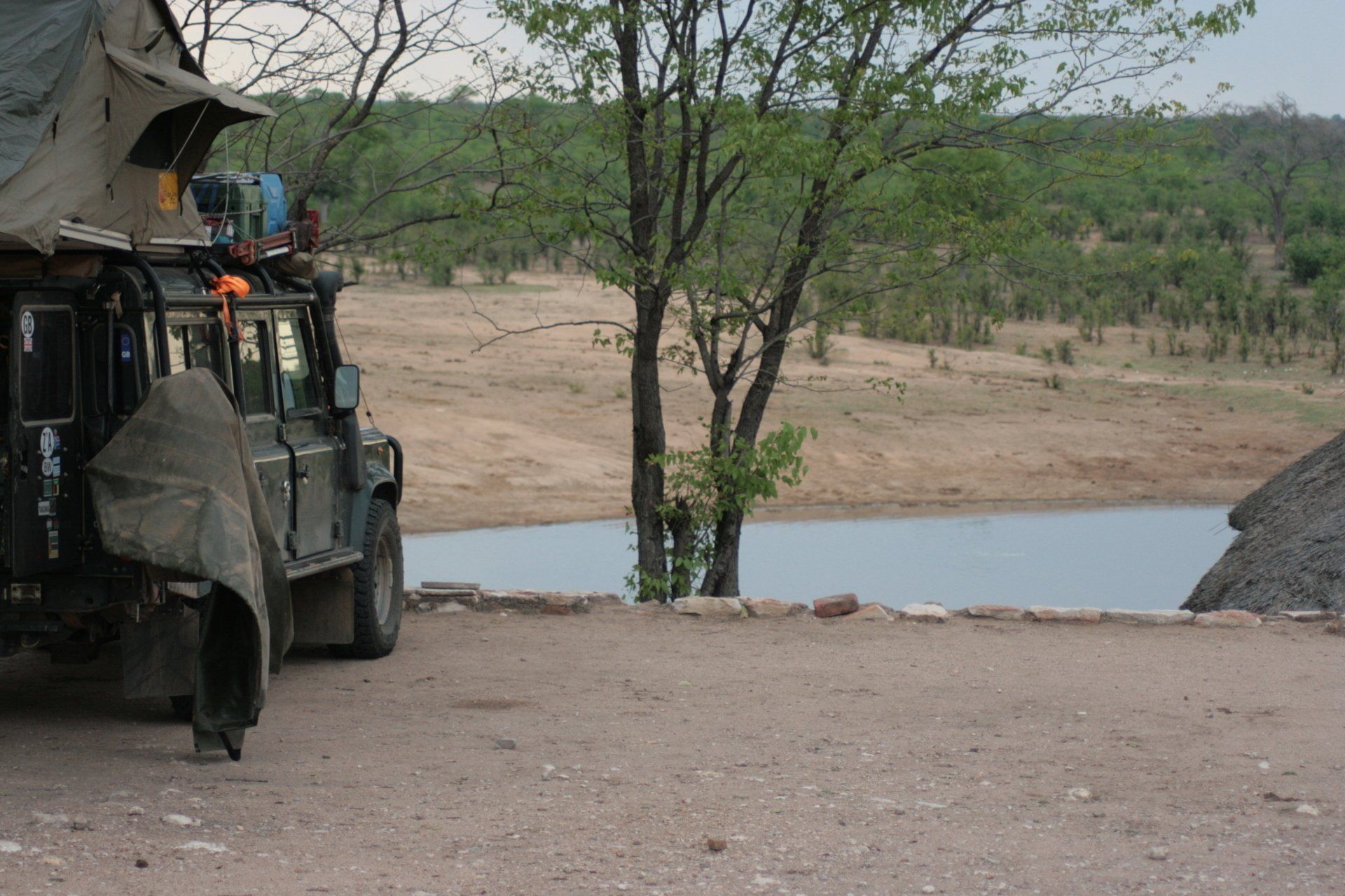
Camping – Ngwasha Picnic Camp, Hwange National Park. A lovely site near a waterhole. Should have been an individual site with a nearby worker to look after the ablutions and hot water. No electricity.
Cost – US$10 per person per night.
Coordinates - S19 01.542 E27 06.390
Altitude = 1025 metres
Day 272 - Saturday 7th November 2009
Trip miles = 21778 miles (34845 kms) Daily miles = 103 miles (165 kms)
Daily Route – In and around Hwange National Park.
Camping – Masuma Dam Picnic Campsite, Hwange National Park. A lovely site overlooking a waterhole with large shelter. Should be an individual site with a nearby worker to look after the ablutions and hot water. No electricity.
Cost – US$10 per person per night.
Coordinates - S18 43.839 E26 16.856
Altitude = 979 metres
Day 273 - Sunday 8th November 2009
Trip miles = 21819 miles (34910 kms) Daily miles = 41 miles (66 kms)
Daily Route – In and around Hwange National Park.
Camping – as previous night.
Day 274 - Monday 9th November 2009
Trip miles = 21861 miles (34978 kms) Daily miles = 42 miles (67 kms)
Daily Route – In and around Hwange National Park.
Camping – Robins Camp, Hwange National Park. A much bigger site with more park buildings but still devoid of tourists. Good ablution blocks. No electricity.
Cost – US$10 per person per night.
Coordinates - S18 37.813 E25 59.317
Altitude = 955 metres
Day 275 - Tuesday 10th November 2009
Trip miles = 22152 miles (35443 kms) Daily miles = 291 miles (466 kms)
Daily Route – Hwange National Park to Hwange town and down the A8 to Bulawayo.
Camping – Bulawayo Municipal Campsite, Bulawayo. A good site in the middle of the City but secure. Good ablutions. Electricity.
Cost – US$10 per person per night.
Coordinates - S20 09.487 E28 35.612
Altitude = 1350 metres
Day 276 - Wednesday 11th November 2009
Trip miles = 22208 miles (35533 kms) Daily miles = 56 miles (90 kms)
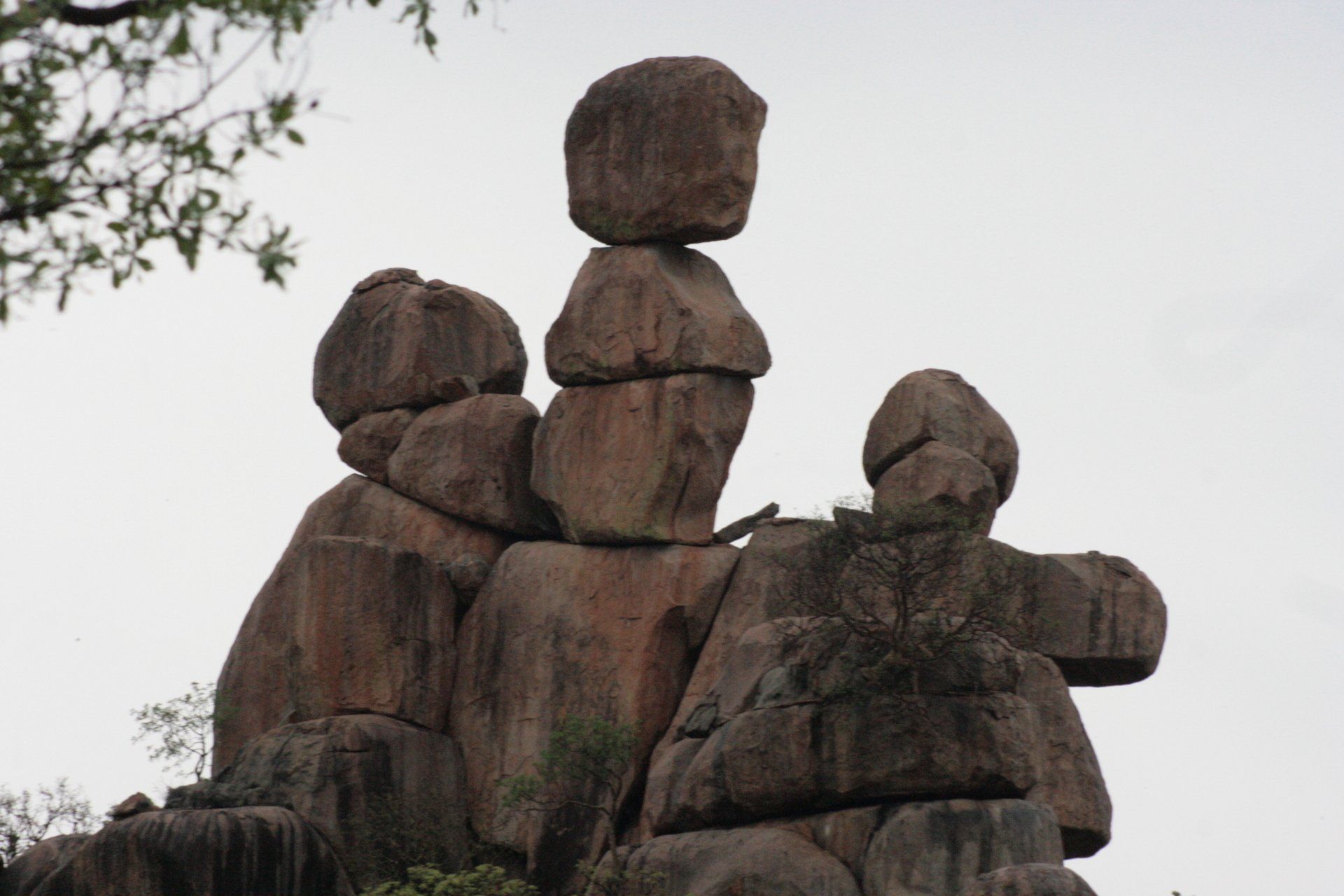
Daily Route – Bulawayo to Matopos National Park.
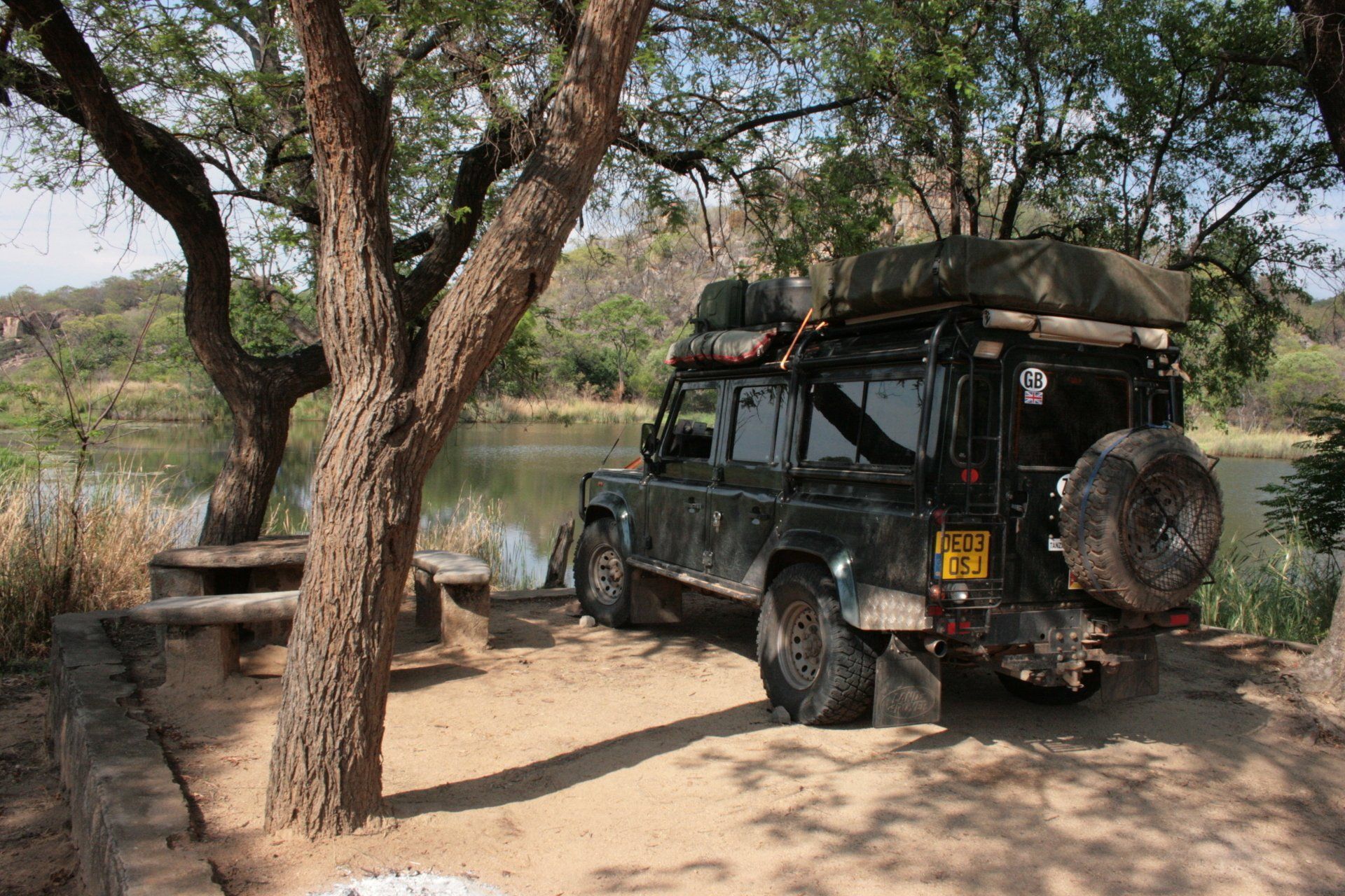
Camping – Mezilume Dam Campsite, Matopos National Park. A lovely isolated spot next to a small dam. There was an ablution block but not in use as there was no water. No other facilities and no electricity.
Cost – US$10 per person per night.
Coordinates - S20 32.575 E28 27.654
Altitude = 1263 metres
Park fees – one-off payment, valid for seven days, of US$15 per person + US$5 per vehicle.
Day 277 - Thursday 12th November 2009
Trip miles = 22263 miles (35621 kms) Daily miles = 55 miles (88 kms)
Daily Route – In and around Matopos National Park and Whovi Game Reserve
Camping – Maleme Dam Campsite, Matopos National Park. Not as isolated as last night, being relatively close to the park Headquarters and the main track, but still a nice site next to a dam. There was an ablution block but no hot water. No electricity available.
Cost – US$10 per person per night.
Coordinates - S20 32.488 E28 30.087
Altitude = 1242 metres
Day 278 - Friday 13th November 2009
Zimbabwe to Botswana
Trip miles to border = 22336 miles (35738 kms) Daily miles to border = 73 miles (117 kms)
Daily Route – Matopos National Park to Plumtree Border Crossing