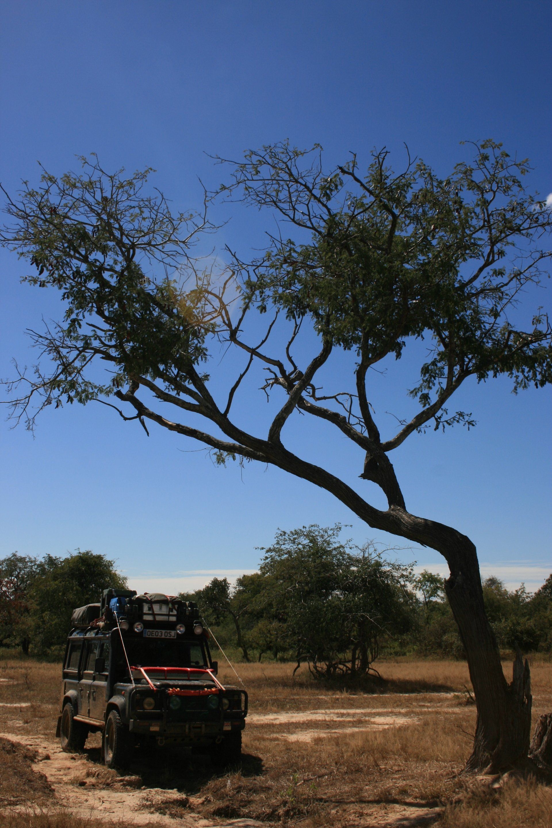
Africa4x4
African Adventure - Our Trip
Republic of Zambia
Dates: 27th April 2009 to 24th June 2009
58 Days
Zambian miles = 4408 miles (7053 kms)
Trip miles = 9632 miles (15411 kms)


Zambia Overview (as at 2010)
Zambia at 752,000 km2 (UK 243,000 km2) is 1½ times bigger than France. It has a population of 12,900,000 (UK 62,000,000) and a population density of 17.2 per km2 (UK 255 per km2).
A landlocked country bordered by: Angola for 1,110 km; Democratic Republic of the Congo for 1,930 km; Malawi for 837 km; Mozambique for 419 km; Namibia for 233 km; Tanzania for 338 km; Zimbabwe for 797 km; and Botswana for less than 1 km. Formerly Northern Rhodesia.
Low point = 329 metres on the Zambezi River: High point = 2,301 metres in the Mafinga Mountains in the north-east on the Malawian border.
Capital – Lusaka
Official language
English plus many other tribal languages
Entry issues: Passport with 6 months remaining and 2 blank pages.
30 day only Visa required by UK Nationals; single entry visa cost = US$50 each. (much reduced after earlier ‘politics’ increased it dramatically).Visa can be extended free of charge at any Immigration Office; should be done on last expiry day: we just handed over passports and asked for extension.
Kazungula ferry over the Zambezi = US$20 or R160. General tax: cost = Kw10000. ‘Tip’ for ‘helpers’, as agreed!
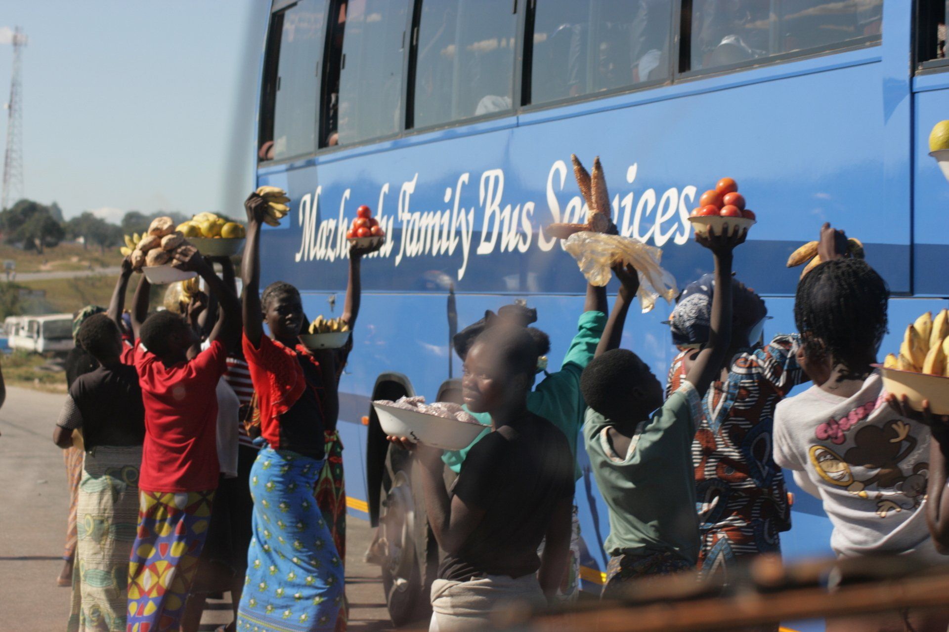
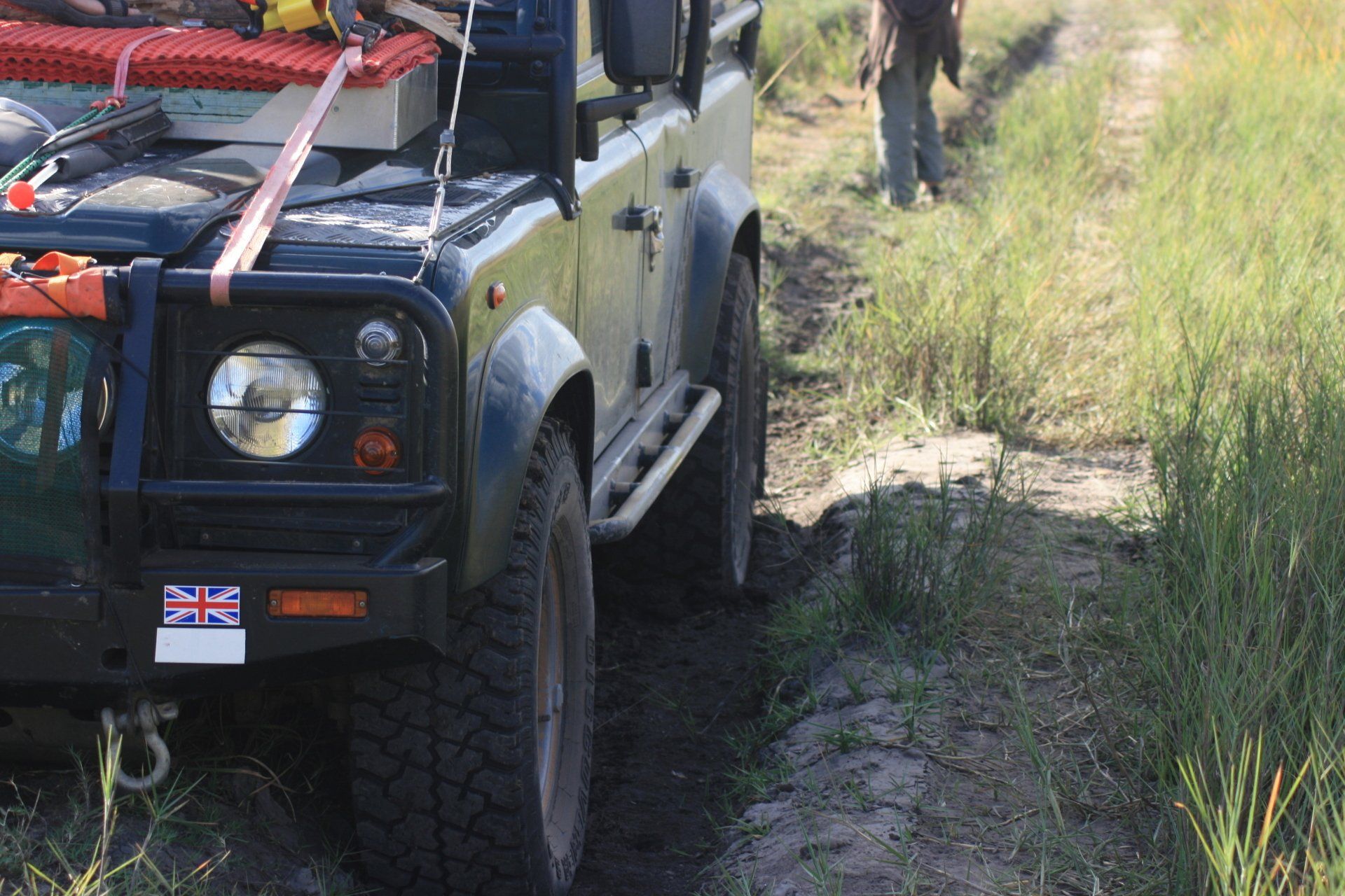
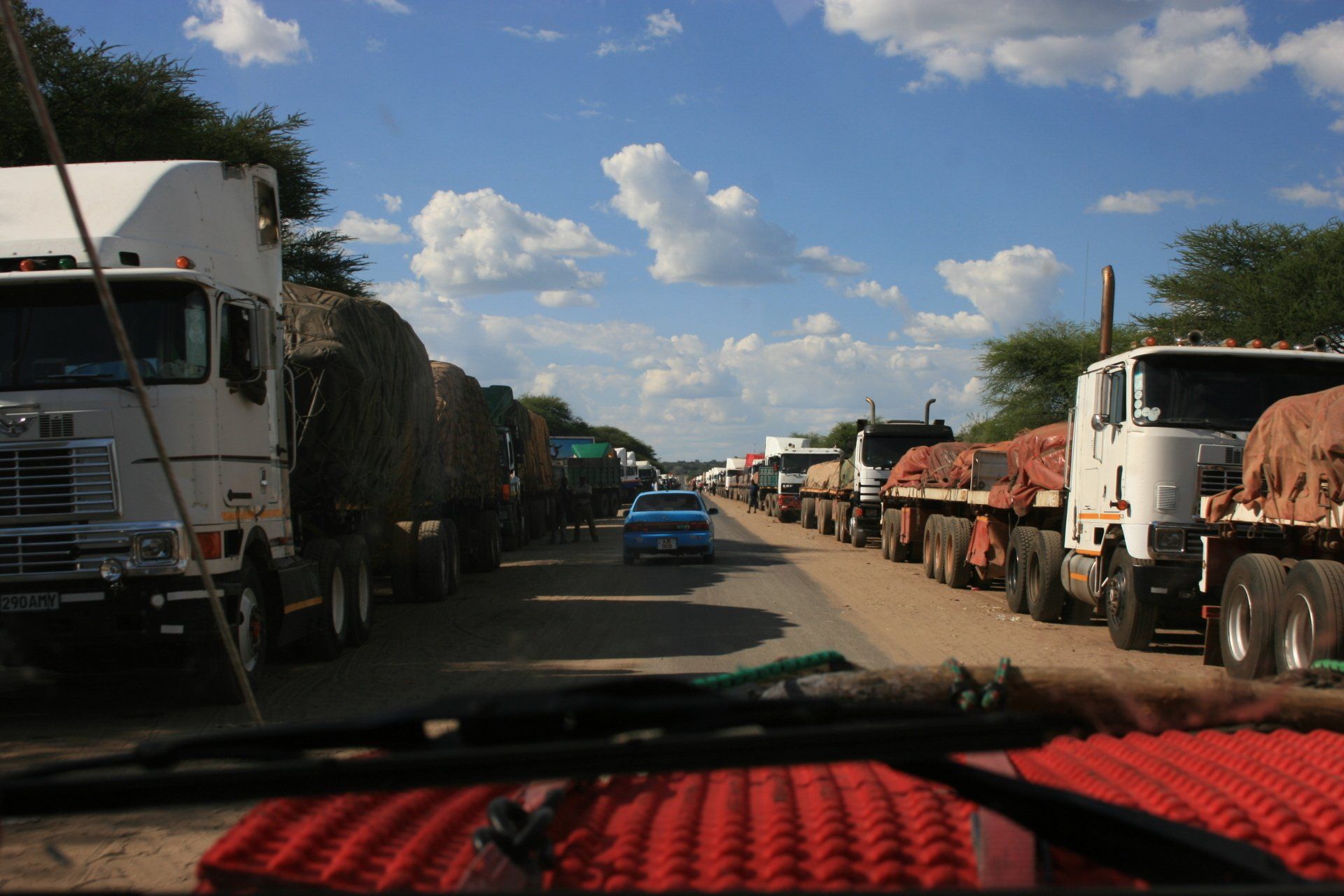
Border crossing: from Botswana over the Zambezi river at Kazungula was frenetic, long, stressful and difficult to comprehend first time with many forms to fill in and money to be handed over, compounded by the fact that each 'office' or counter was located in a different shack. Once all required forms and stamps etc. had been obtained, just as you thought you had finished and about to drive through gates, had to hand over all documents to another official who promptly disappeared. Another official came up to us and demanded the same documents and got very excited when we said we had handed over to someone else! It was all sorted in the end!
The exit into Tanzania at Nakonde/Tunduma border was quite challenging as well, especially as, having managed to get out of the country, the joys of the Tanzanian border were yet to be sampled!
*One big problem for me was the first official who stopped me wanted to see my Road Fund Licence. On entry into Zambia my advisors said to say I was going to Livingstone, which I was, and I paid just $10. They said it wouldn't be checked in any police checks, which it wasn't. However, as I was now leaving from the furthest point from entry I should have paid $150 ... I ended up having to pay a top up fee of $30 so still saved $100!
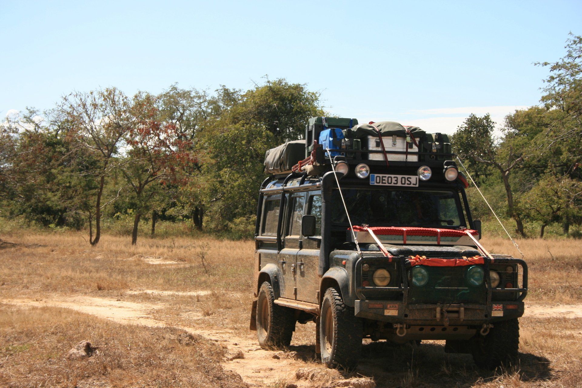
Vehicle issues: Carnet de Passage required. Photo driving licence or international licence required.
Drive on left. Insurance, third party, cost = Kw375000 - this necessitated going through the border gate on foot to nearby various "offices" (shipping containers) and hoping they would let you back in! Carbon tax, depending upon engine size (ours: 2500cc) = Kw150,000; Road tax, depending upon distance to be travelled in country = US$10 to US$150. (see * above)
2 strips of white reflective tape on front bumper & 2 strips of red reflective tape on rear bumper. Service stations don’t appear to sell these tapes; got ours from a motoring shop in Livingstone. 2 warning triangles – strictly speaking they should be metal with reflective white on rear. Ours were checked and not challenged. Fire extinguisher required.
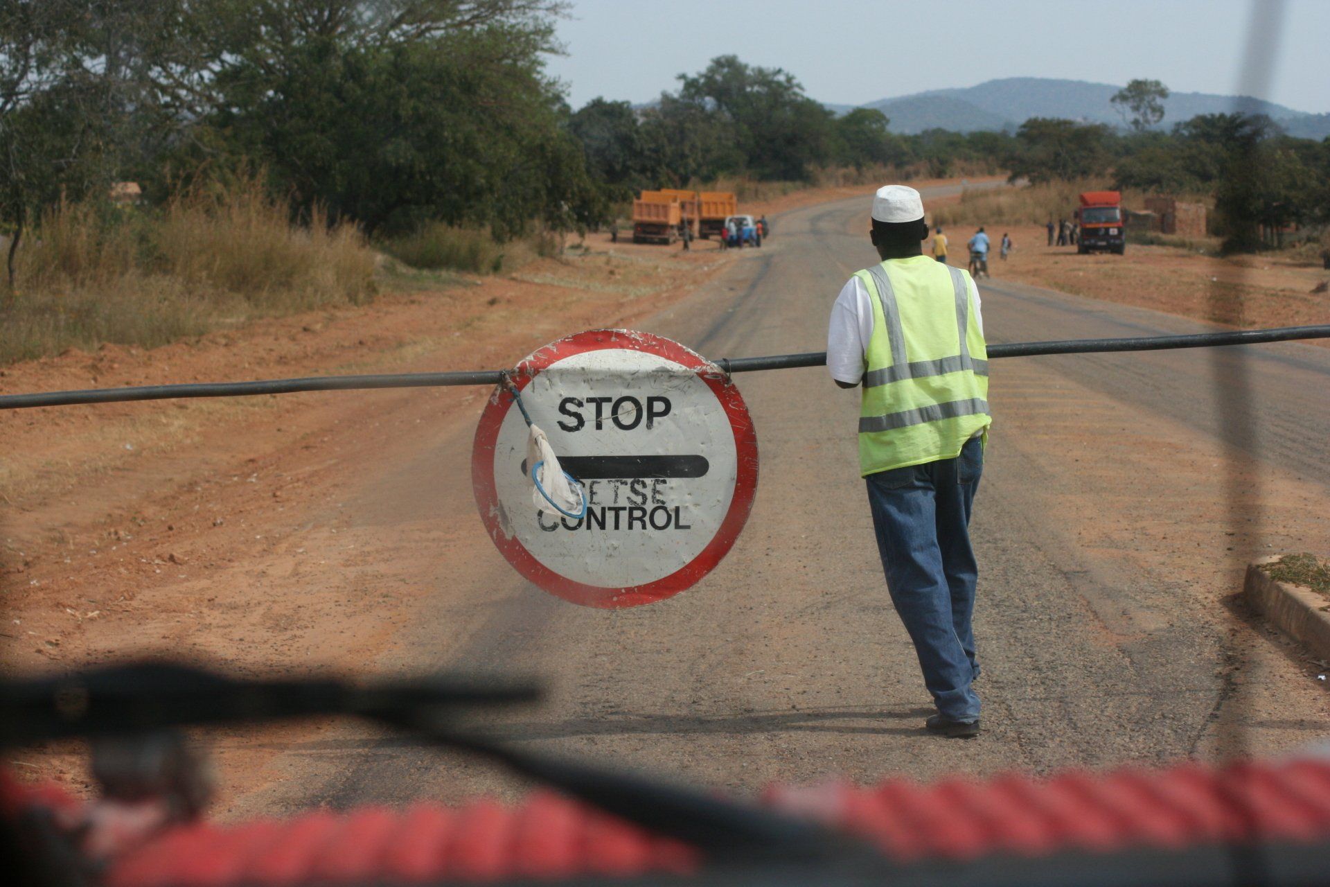
Keep all documents to hand, but secure, for frequent Police and Immigration checks that vary in enthusiasm from a wave through; to a warning triangle check; to a full document check! Very polite with no overt corruption.
Petrol and Diesel widely available at most towns and large villages. All garages are cash only, all attended and usually with a screen washer – small tip usual. As with all of Africa, will squeeze as much in as possible, usually leading to spills!
Average cost of diesel per litre = £0.75 (Varied between £0.71 & £0.80)
Banks; ATMs; Credit Cards
Some ATMs could be fickle but in the larger towns, particularly in the tourist areas, worked fine most of the time. Credit cards accepted in the larger supermarkets in the larger towns.
Telephones: International dialling code +260. Fairly good mobile coverage in towns and along major routes. We used Celtel & MTN although there are several providers. Cheap SIMs and top up cards widely available from street sellers.
Time (UTC = Coordinated Universal Time, equal to GMT) = UTC+02
Currency & UK£ rate at time of visit:
Zambian Kwacha
£1 = Kw7692 ~ 10,000 Kwacha = £1.20
GARAGES
LUSAKA
Pilatus Engineering Co Ltd, Land Rover, Plot 2319 Leopards Hill Road, Lusaka.
Tel: +260 211 260 896.
Coordinates: S15 26.894 E28 22.404
Oil service plus a general check over; rear radius arm bolt (rearmost, offside) replaced.
Being a franchised garage they charged land Rover prices!
Route and Camping - Zambia
Day 78 - Monday 27th April 2009 CONTINUED
Trip miles = 5220 miles (8352km) Daily miles = 62 miles (99 km)
Daily Route – From Kasane, Botswana, over the Kazangula ferry into Zambia, to Livingstone
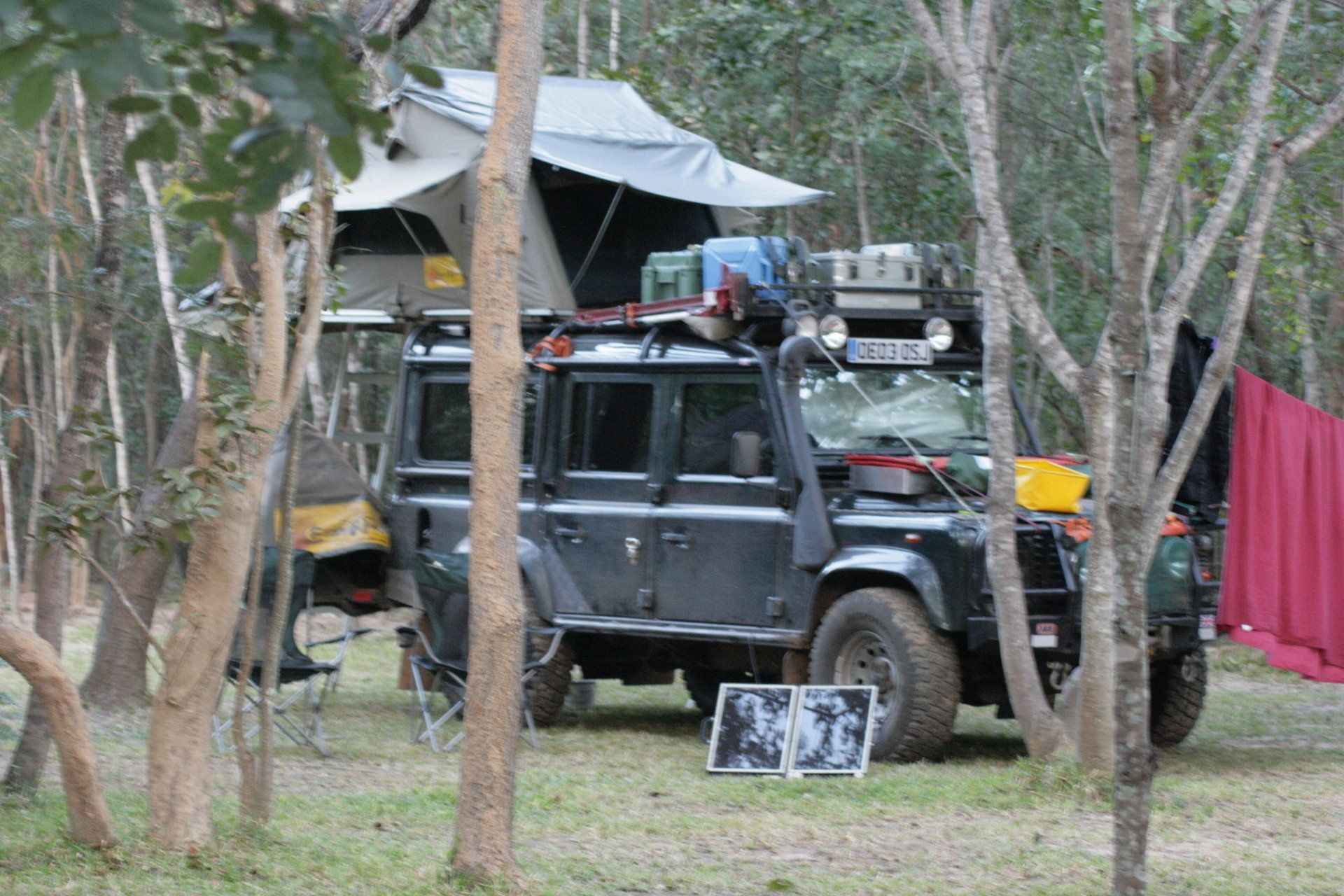
Camping – Waterfront Safari Lodge, Livingstone. A commercial site on the Zambezi with a nice restaurant, swimming pool and activities including river cruises. Downside; there are lots of Overlander stop-overs, either in own tents or erected tents. Waterfront operate their own fleet of trucks. Has own internet café and supposed to have Wi-Fi but not operating during our stay. Electricity.
Cost = Kw66000 per person per night.
Coordinates -S17 53.193 E25 50.659
Altitude = 917 metres
Day 79 - Tuesday 28th April 2009
Trip miles = 5229 miles (8366 km) Daily miles = 9 miles (14 km)
Daily Route – Livingstone
Camping – as previous night
Day 80 - Wednesday 29th April 2009
Trip miles = 5261 miles (8418km) Daily miles = 32 miles (51 km)
Daily Route – Livingstone and Mosi-Oa-Tunya
Camping – as previous night
Day 81 - Thursday 30th April 2009
Trip miles = 5261 miles (8418km) Daily miles = 0 miles (0 km)
Daily Route – Livingstone
Camping – as previous night
Day 82 - Friday 1st May 2009
Trip miles = 5446 miles (8714 km) Daily miles = 185 miles (286 km)
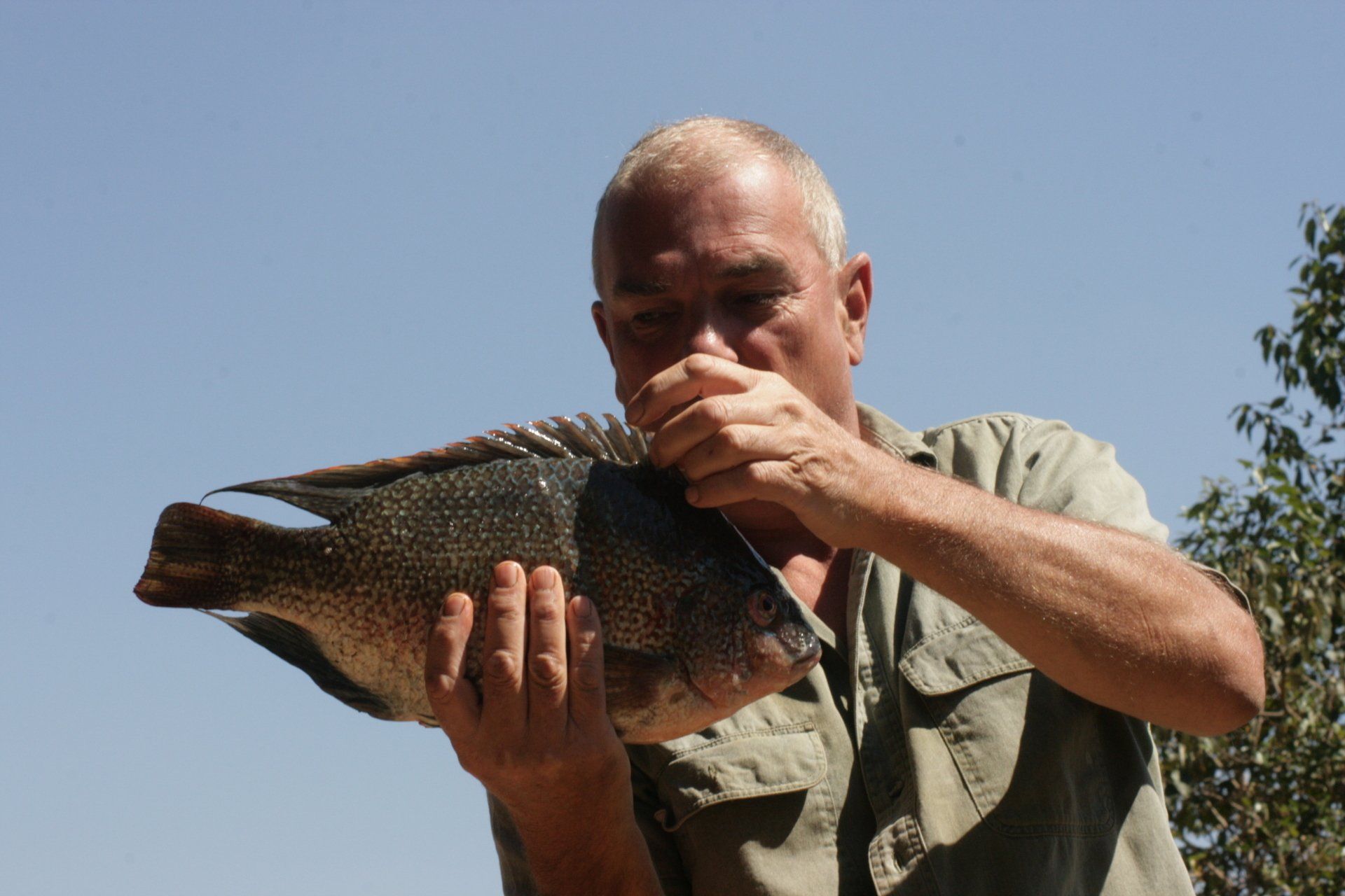
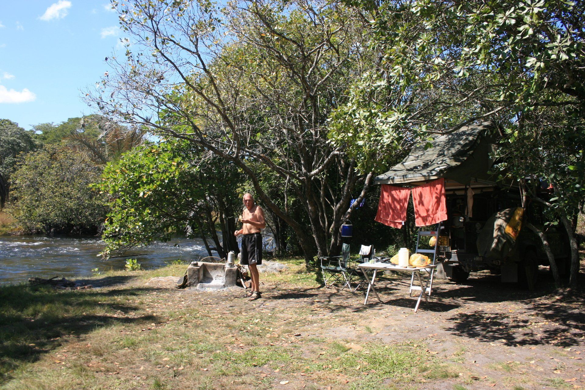
Daily Route – Livingstone, up the T1, through Zimba to Choma, turning south to Sinazongwe and onto Lake Kariba
Camping – Houseboat Camping, near Sinazongwe, Lake Kariba. A very pleasant and quiet site overlooking the lake. Nice rustic ablutions with electricity. One pitch with chitenge. No staff around at all.
Cost Kw20000 per person per night.
Coordinates - S17 16.106 E27 28.077
Altitude = 492 metres
Day 83 - Saturday 2nd May 2009
Trip miles = 5446 miles (8714 km) Daily miles = 0 miles (0 km)
Daily Route – Lake Kariba
Camping – as previous night
Day 84 - Sunday 3rd May 2009
Trip miles = 5446 miles (8714 km) Daily miles = 0 miles (0 km)
Daily Route – Lake Kariba
Camping – as previous night
Day 85 - Monday 4th May 2009
Trip miles = 5539 miles (8862 km) Daily miles = 93 miles (149 km)
Daily Route – Lake Kariba to Sinazongwe. Back up to main road at Choma, then Pemba, Monze to The Moorings.
Camping – The Moorings, 10km north of Monze. A fairly large site but relatively quiet. Restaurant of sorts and bar. Good for birding.
Cost - Kw27500 per person per night.
Coordinates - S16 11.624 E27 32.600
Altitude = 1093 metres
Day 86 - Tuesday 5th May 2009
Trip miles = 5539 miles (8862 km) Daily miles = 0 miles (0 km)
Daily Route – In and around The Moorings, Monze.
Camping – as previous night
Day 87 - Wednesday 6th May 2009
Trip miles = 5539 miles (8862 km) Daily miles = 0 miles (0 km)
Daily Route – In and around The Moorings, Monze.
Camping – as previous night
Day 88 -Thursday 7th May 2009
Trip miles = 5594 miles (8950km) Daily miles = 84 miles (134 km)
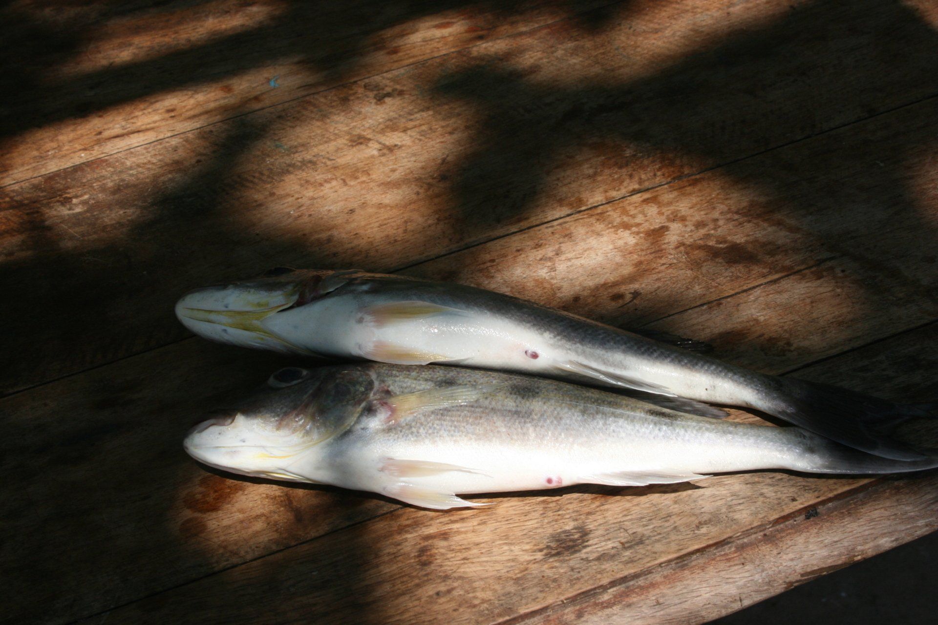
Daily Route – The Moorings, Monze to Lochinvar National Park
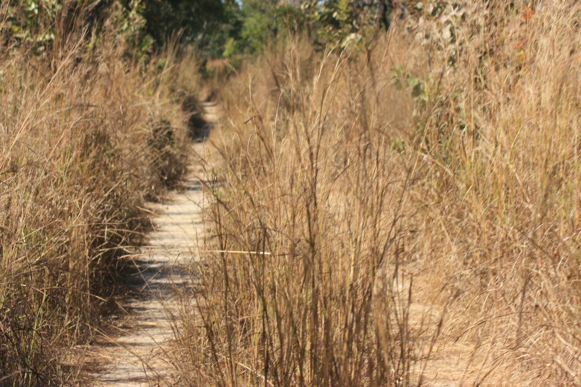
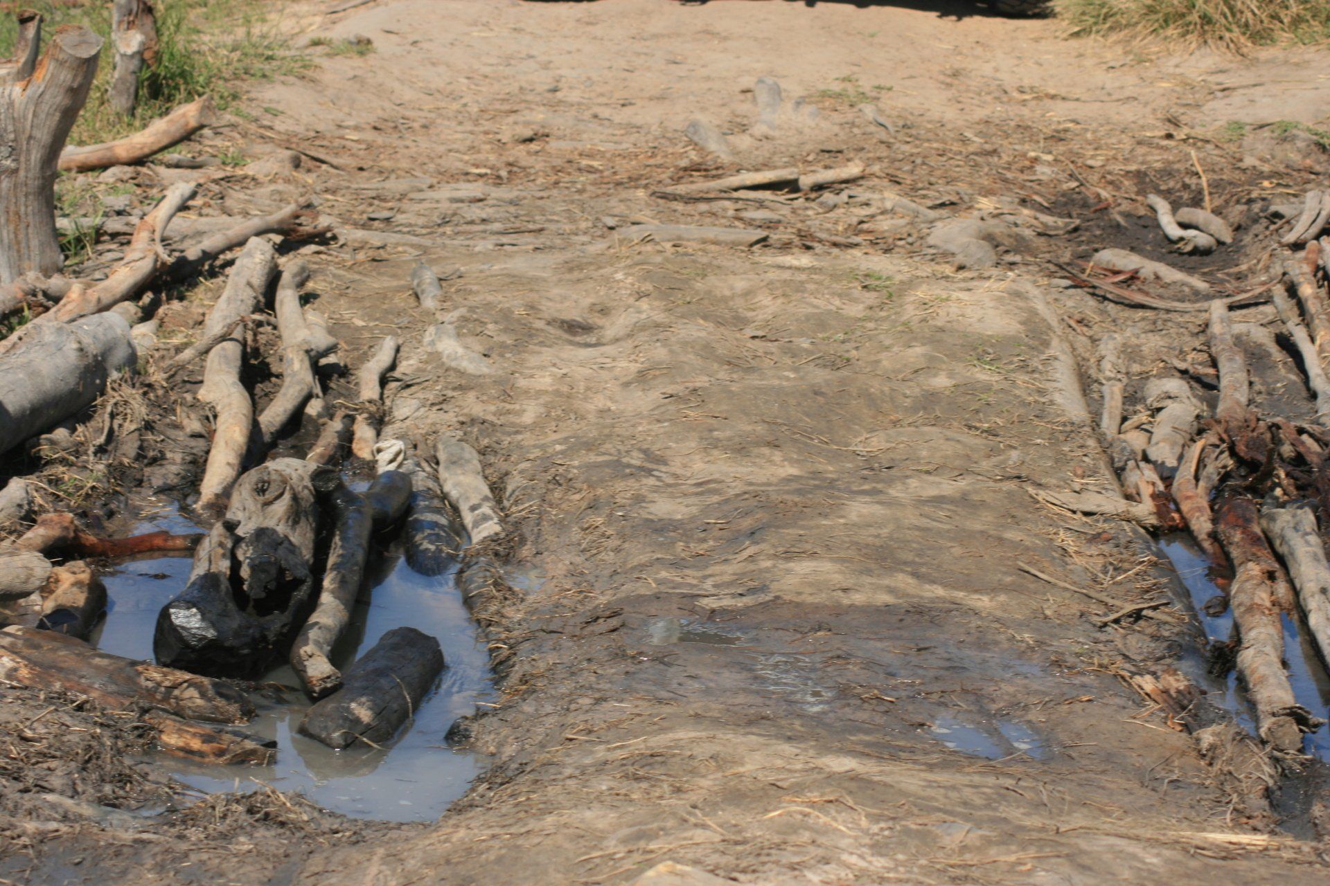
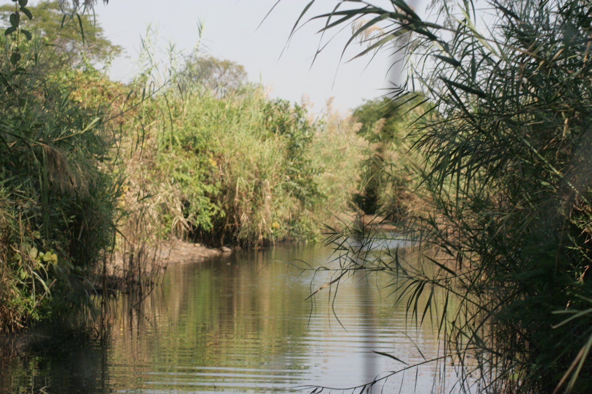
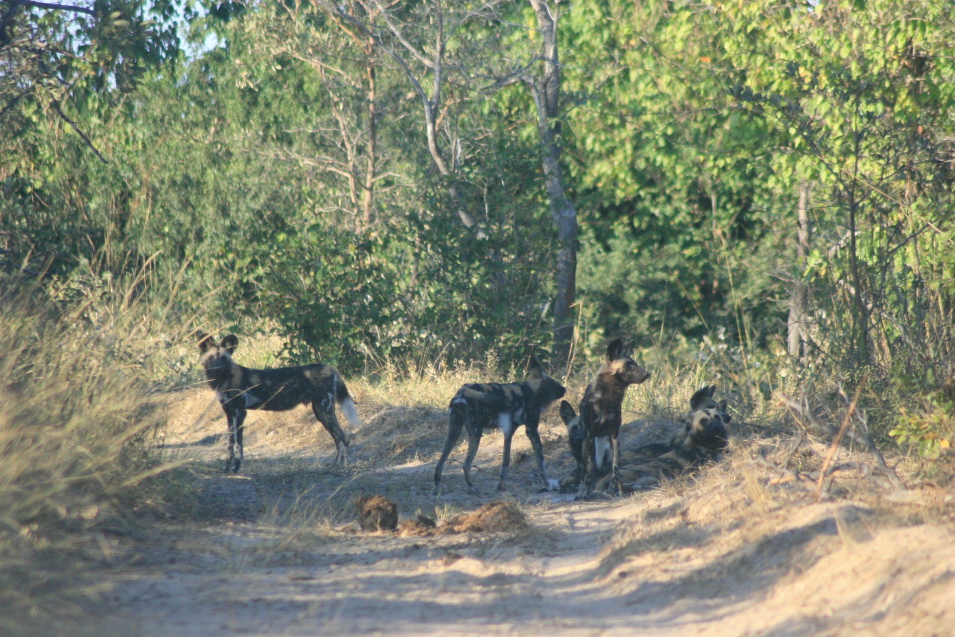
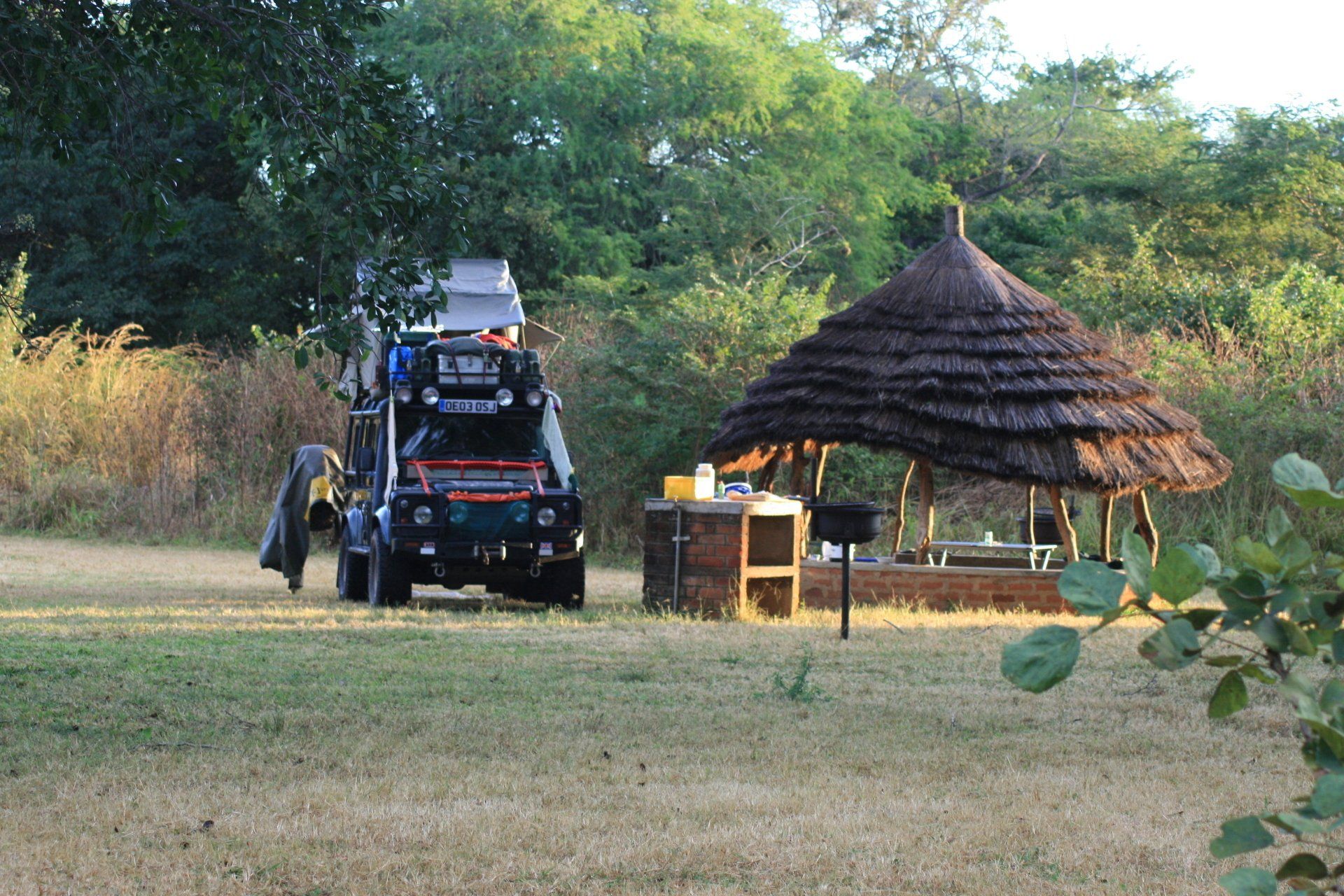
Camping – Lochinvar National Park. Wild camping near the Chunga scout post – all other camps out of order. Idyllic spot alongside the Lagoons and swamps of the Kafue River but no facilities at all. Tracks very rough.
Cost - US$5 per person per night. +Park fees: US$10 pppd + US$15 per day for the vehicle. Fees, including camping, paid in kwacha.
Coordinates - S15 50.708 E27 13.970
Altitude = 980 metres
Day 89 - Friday 8th May 2009
Trip miles = 5623 miles (8997km) Daily miles = 29 miles (46 km)
Daily Route – In and around Lochinvar National Park
Camping – as previous night
Day 90 - Saturday 9th May 2009
Trip miles = 5757 miles (9211 km) Daily miles = 134 miles (214 km)
Daily Route – Lochinvar National Park to Monze, to Mazabuka and to The Riverside Motel just south of Kafue Town
Camping – Riverside Motel, Kafue Town. Expensive and not sure how things would work if there were other campers there. Had a restaurant with nice sounding menu.
Cost - Kw50000 per person per night.
Coordinates - S15 48.421 E28 12.604
Altitude = 995 metres
Day 91 - Sunday 10th May 2009
Trip miles = 5757 miles (9211 km) Daily miles = 0 miles (0 km)
Daily Route – Riverside Motel, Kafue Town
Camping – as previous night
Day 92 -Monday 11th May 2009
Total Trip miles = 5956 miles (9530 km) Daily miles = 199 miles (318 km)
Daily Route – from Kafue Town north to Lusaka and then west to Mumbwa and onto the park gate before heading south on a rough track to the southern portion of the park
Camping – Ranger Post on road to Kafue National Park south. Unusual spot with unusual toilet facilities.
Cost – free
Coordinates - S15 16.538 E26 14.968
Altitude = 1056 metres
Day 93 - Tuesday 12th May 2009
Total Trip miles = 6033 miles (9653 km) Daily miles = 77 miles (123 km)
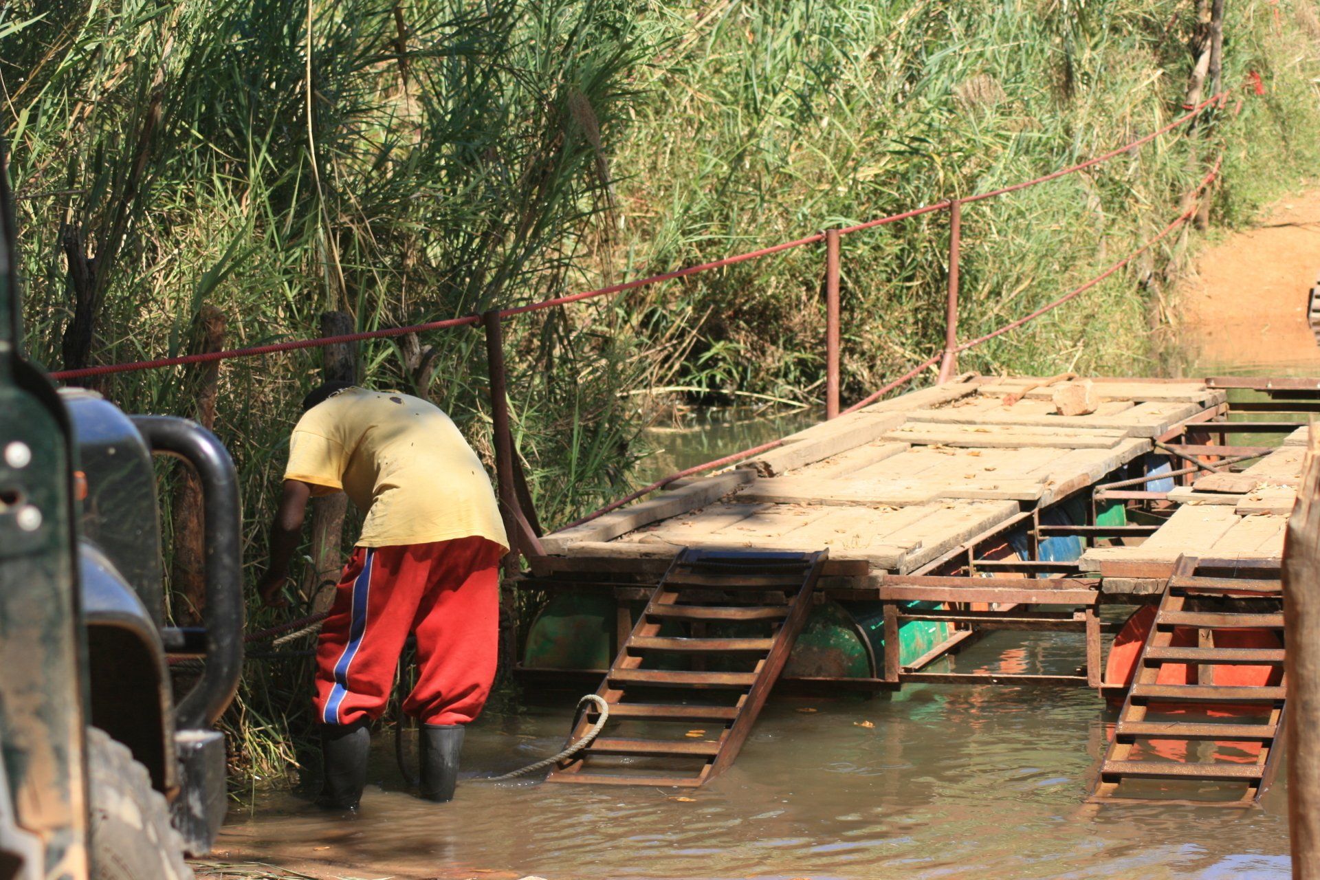
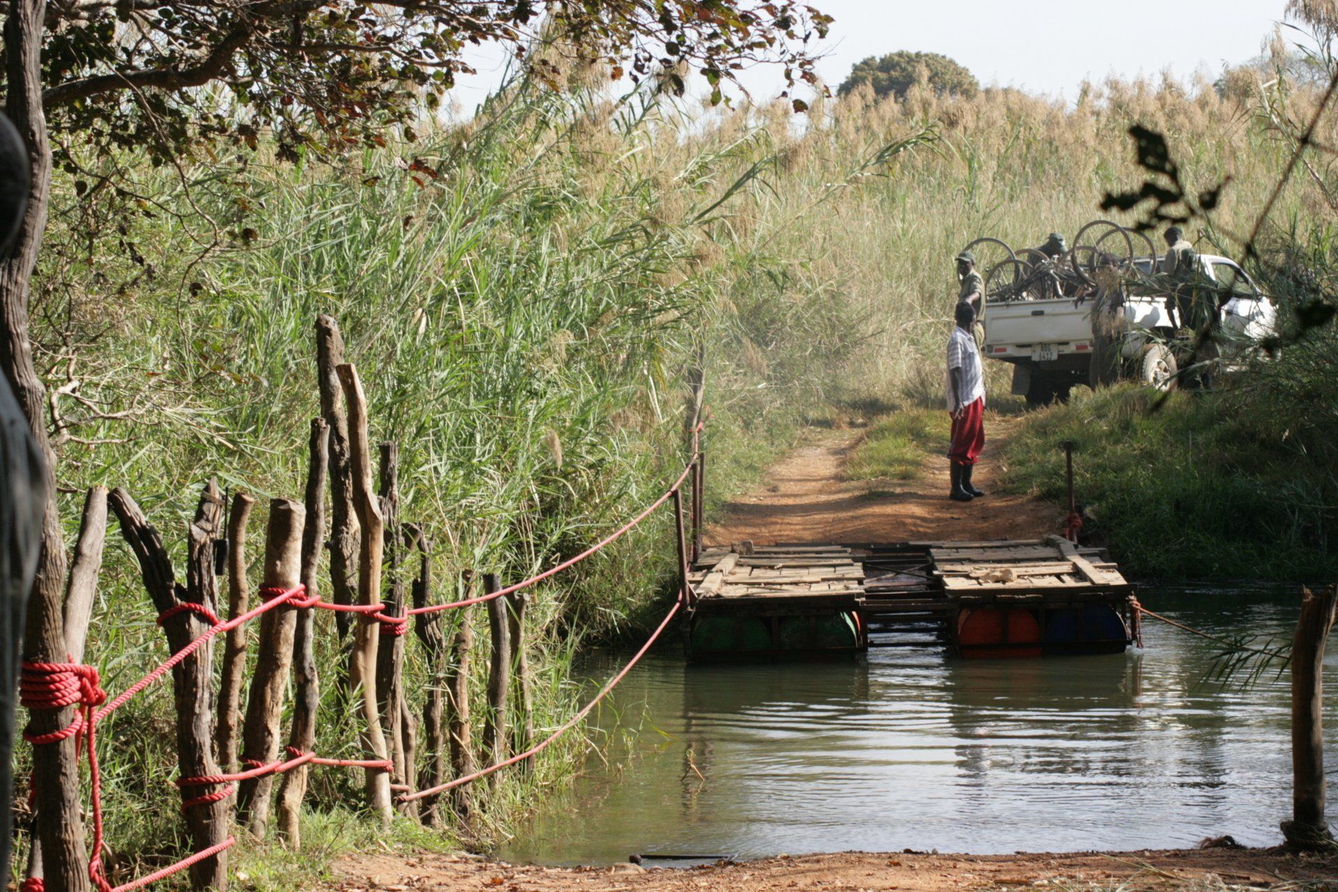
Daily Route – from the wildlife check point south to the Itezhi-Tezhi Dam and into the Kafue National Park.
Camping – Idyllic spot wild camping with no facilities at all.
Cost: US$5 per person per night + Park Fees: to get into the Kafue National Park cost a fortune. US$15 pppd + US$15 per day for the vehicle. Had to pay for 3 days park fees.
Coordinates - S16 00.831 E25 51.722
Altitude = 1056 metres
Day 94 - Wednesday 13th May 2009
Total Trip miles = 6099 miles (9758 km) Daily miles = 66 miles (106 km)
Daily Route – in and around the northern section of the South Kafue National Park.
Camping – Idyllic spot wild camping but ground too hard for bush toilet so a handy bush sufficed.
Cost – as previous night.
Coordinates - S15 54.320 E25 56.672
Altitude = 1008 metres
Day 95 - Thursday 14th May 2009
Total Trip miles = 6191 miles (9906 km) Daily miles = 92 miles (147 km)
Daily Route – north from the Kafue National Park before turning west to Puku Pans on the Kafue River.
Camping – Puku Pans Lodge. A wonderful spot with rustic facilities and attentive staff to light the donkey boiler and my fire. Campsite surrounded by wildlife. Reasonable ablution block. No electricity.
Cost - US$10 per person per night.
Coordinates - S15 12.969 E25 58.717
Altitude = 1291 metres
Day 96 - Friday 15th May 2009
Total Trip miles = 6191 miles (9906 km) Daily miles = 0 miles (0 km)
Daily Route – in and around Puku Pans on the Kafue River.
Camping – as previous night
Day 97 - Saturday 16th May 2009
Total Trip miles = 6191 miles (9906 km) Daily miles = 0 miles (0 km)
Daily Route – in and around Puku Pans on the Kafue River.
Camping – as previous night
Day 98 - Sunday 17th May 2009
Total Trip miles = 6396 miles (10234 km) Daily miles = 205 miles (328 km)
Daily Route – Puku Pans to Lusaka and on to Pioneer Campsite not far from Lusaka airport.
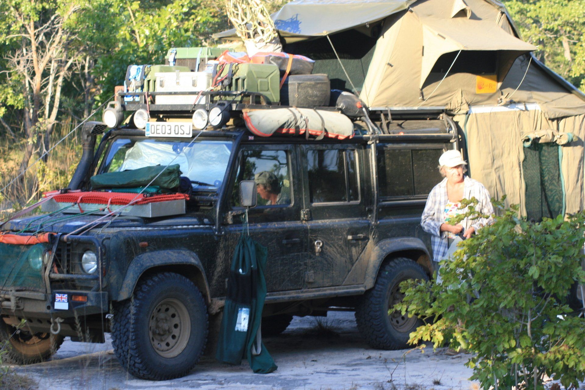
Camping – Pioneer Lodge Camp, Lusaka. Pleasant spot, convenient for the city and airport. No electricity in camping area although sockets in pool area and bar. Free Wi-Fi. Good food and bar.
Cost - US$5 per person per night.
Coordinates - S15 23.765 28 27.040E
Altitude = 1194 metres
Day 99 - Monday 18th May 2009
Total Trip miles = 6445 miles (10312 km) Daily miles = 49 miles (78 km)
Daily Route – day spent mainly in camp with trip into Lusaka shopping.
Camping – as previous night
Day 100 - Tuesday 19th May 2009
Total Trip miles = 6651 miles (10642 km) Daily miles = 206 miles (330 km)
Daily Route – Pioneer Camp, Lusaka to Airport and then to Puku Pans, Kafue River via Mumbwa.
Camping – as Day 95
Day 101 - Wednesday 20th May 2009
Total Trip miles = 6651 miles (10642 km) Daily miles = 0 miles (0 km)
Daily Route – In and around Puku Pans, Kafue River.
Camping – as previous night
Day 102 - Thursday 21st May 2009
Total Trip miles = 6767 miles (10827 km) Daily miles = 116 miles (186 km)
Daily Route – Puku Pans, Kafue River into Kafue Park.
Camping – A nice isolated wild camp with no facilities.
Cost – free (forced to over-night) + Park fees – US$15 each for the day and US$15 for the vehicle
Coordinates -
S16 12.215 E25 58.20
Altitude = 1001 metres
Day 103 - Friday 22nd May 2009
Total Trip miles = 6985 miles (11176 km) Daily miles = 218 miles (349 km)
Daily Route – South out of Kafue Park down to Koloma on the Lusaka/Livingstone road and south west through Zimba to Livingstone.
Camping – Waterfront Safari Lodge, Livingstone. A commercialised site catering for up-market tourists in the rooms and chalets and lots and lots of Overland trucks carrying up to 20 people camping.
Cost - Kw66000kws per person per night.
Coordinates -S17 53.14 E25 50.41
Altitude = 890 metres
Day 104 - Saturday 23rd May 2009
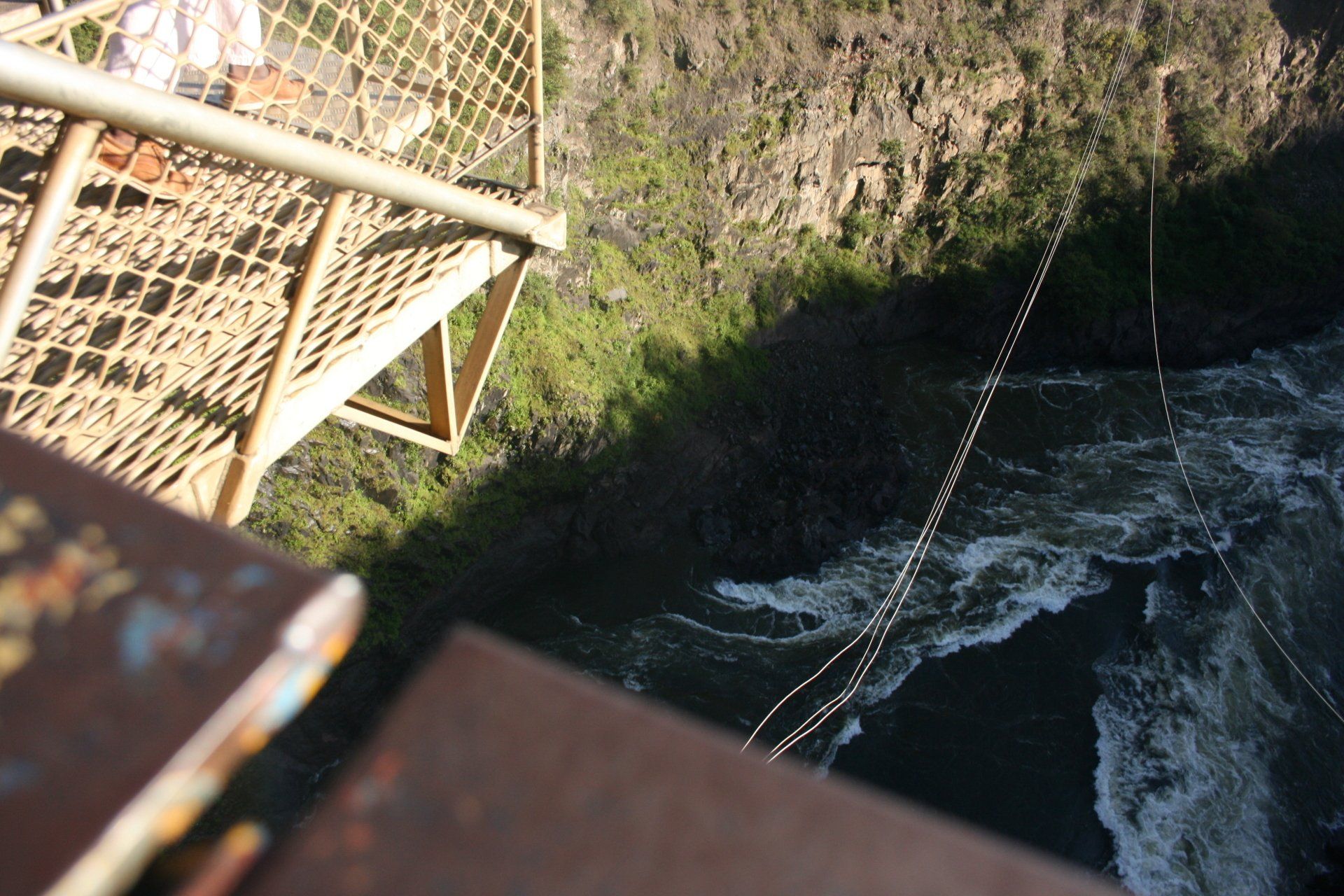
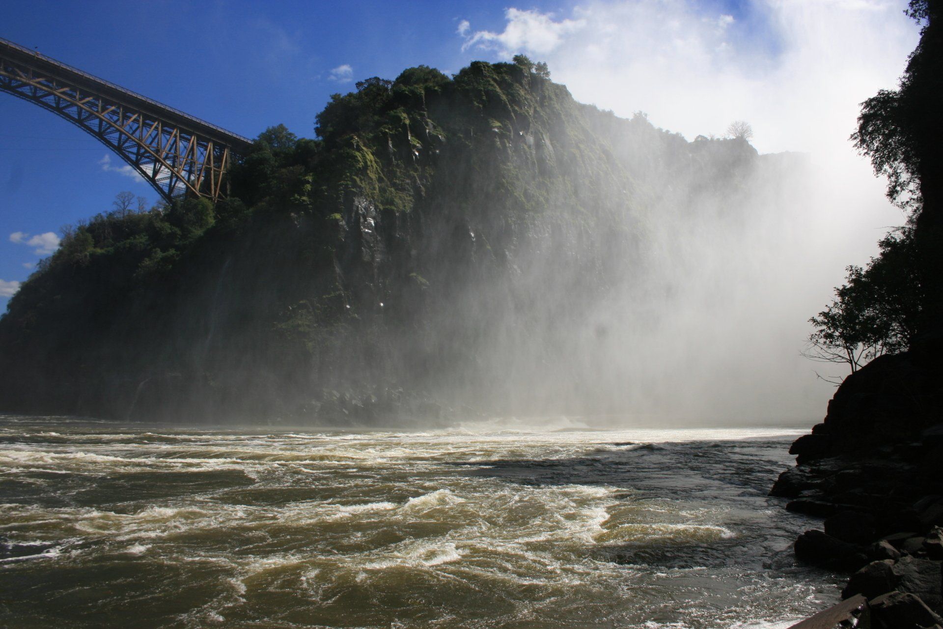
Total Trip miles = 6999 miles (11198 km) Daily miles = 14 miles (22 km)
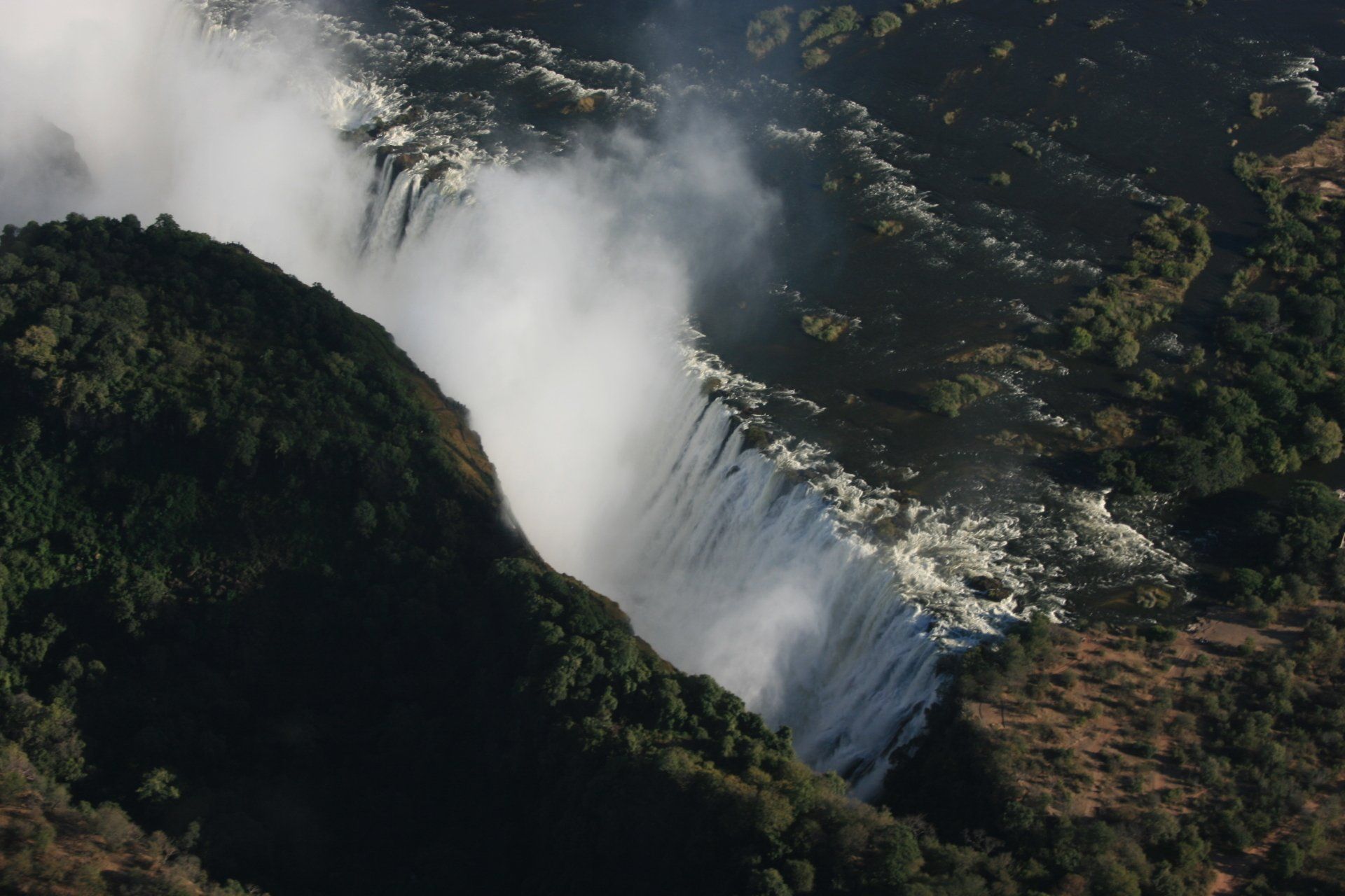
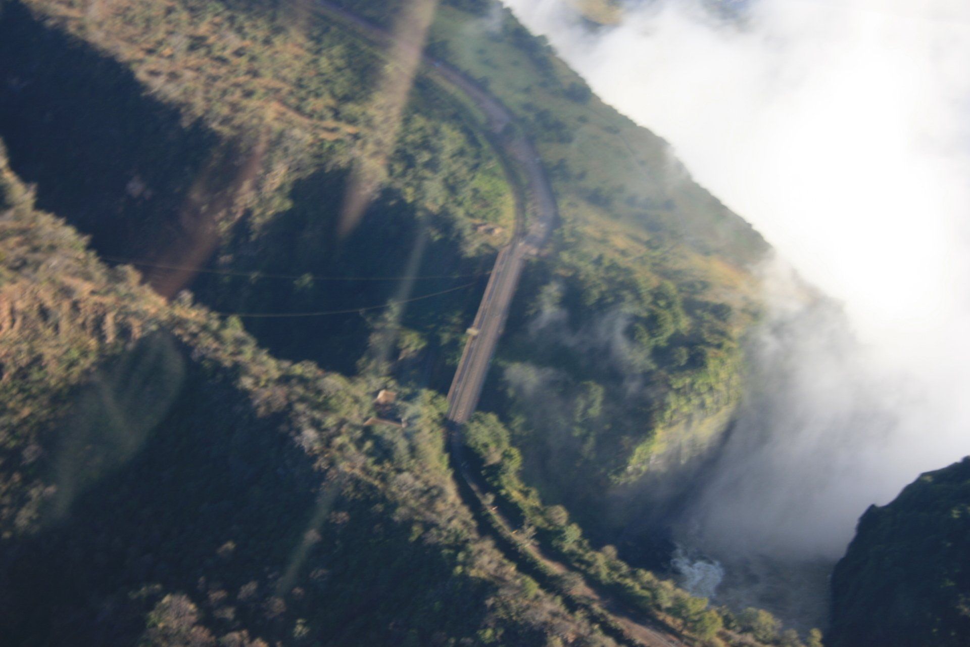
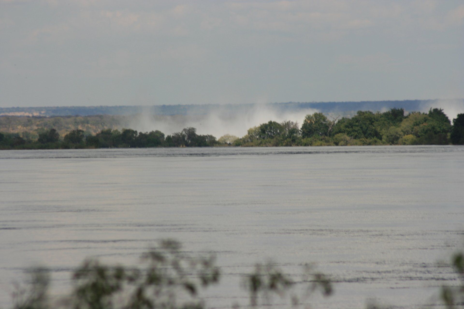
Daily Route – Victoria Falls.
Camping – as previous night
Day 105 - Sunday 24th May 2009
Total Trip miles = 7035 miles (11256 km) Daily miles = 36 miles (58 km)
Daily Route – Mosi-Oa-Tunya National park.
Camping – as previous night
Day 106 - Monday 25th May 2009
Total Trip miles = 7353 miles (11765 km) Daily miles = 318 miles (509 km)
Daily Route – Livingstone, Zimba, Kaloma, Pemba, Monze, Mazabuka, Kafue Town and Pioneer Lodge Camp at Lusaka.
Camping – Pioneer Lodge Camp - pleasant spot, convenient for the city and airport. No electricity in camping area although sockets in pool area and bar. Free Wi-Fi. Good food and bar.
Cost - US$5per person per night.
Coordinates - S15 23.709 E28 27.123
Altitude =1205 metres
Day 107 - Tuesday 26th May 2009
Total Trip miles = 7619 miles (12190 km) Daily miles = 266 miles (426 km)
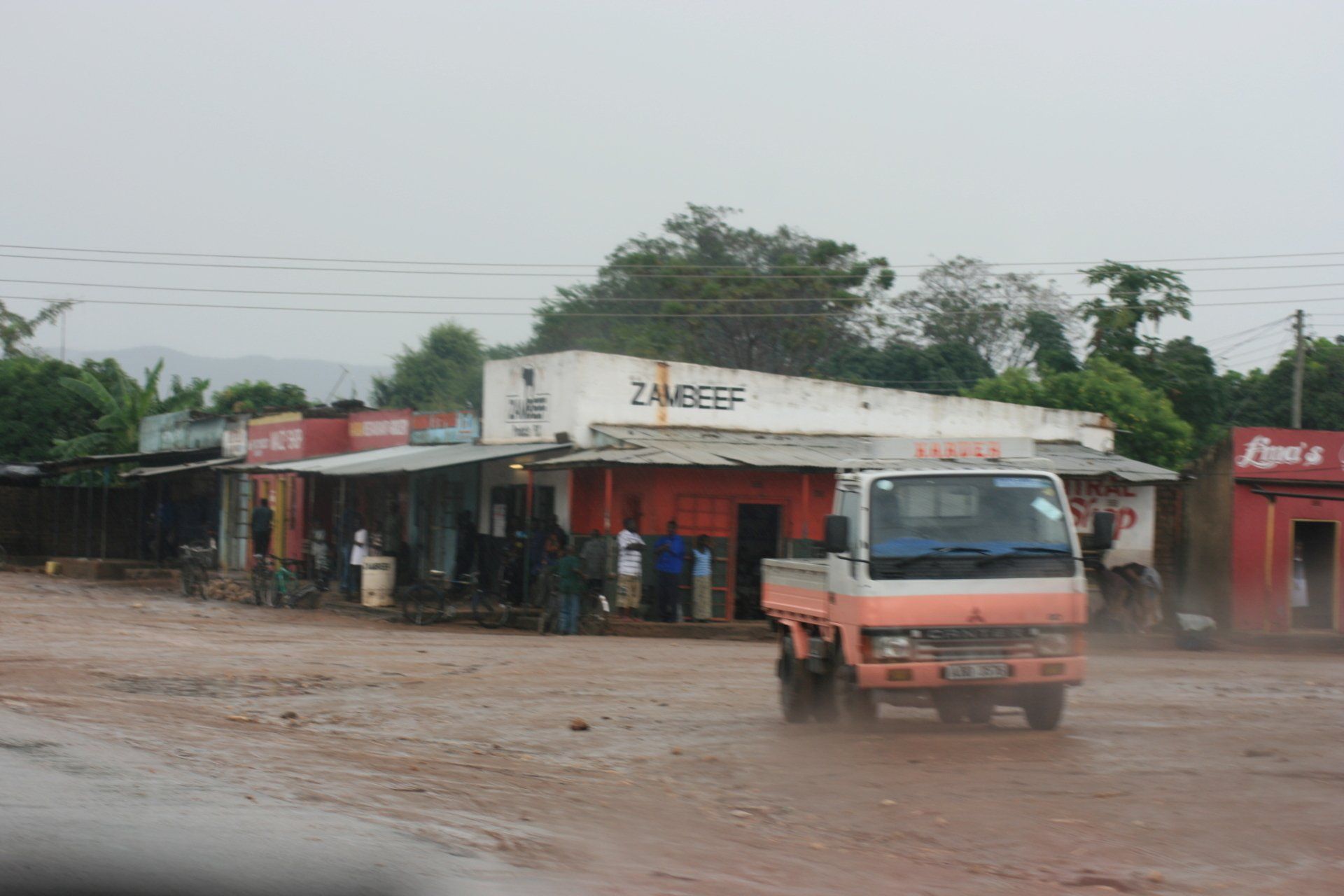
Daily Route – Lusaka, Rufunsa, Kacholola, Nyimba to Petauke
Camping – Zulu Krall, Petauke. A small site that served its purpose. Reasonable ablution block.
Cost Kw15000 per person per night.
Coordinates - S14 17.745 E31 19.817
Altitude = 977 metres
Day 108 - Wednesday 27th May 2009
Total Trip miles = 7819 miles (12510 km) Daily miles = 200 miles (320 km)
Daily Route – Petauke to Chipata then northwest to Mfuwe before heading south to Chipembele
Camping – PRIVATE. A truly idyllic spot right on the banks of the Luangwa River opposite the National Park with the animals free to roam. Access to Steve and Anna’s house.
Cost – free but charitable donation made.
Coordinates - S13 12.083 E31 42.233
Altitude = 500 metres
Day 109 - Thursday 28th May 2009
Total Trip miles = 7819 miles (12510 km) Daily miles = 0 miles (0 km)
Daily Route – in and around Chipembele
Camping – as previous night
Day 110 - Friday 29th May 2009
Total Trip miles = 7871 miles (12594 km) Daily miles = 52 miles (83 km)
Daily Route – Mfuwe and in and around Chipembele
Camping – as previous night
Day 111 - Saturday 30th May 2009
Total Trip miles = 7871 miles (12594 km) Daily miles = 0 miles (0 km)
Daily Route –In and around Chipembele
Camping – as previous night
Day 112 - Sunday 31st May 2009
Total Trip miles = 7975 miles (12760 km) Daily miles = 104 miles (166 km)
Daily Route – into the South Luangwa National Park
Camping – as previous night
Day 113 - Monday 1st June 2009
Total Trip miles = 7975 miles (12760 km) Daily miles = 0 miles (0 km)
Daily Route – To Mfuwe
Camping – as previous night
Day 114 - Tuesday 2nd June 2009
Total Trip miles = 8080 miles (12928 km) Daily miles = 105 miles (168 km)
Daily Route – Chipembele to Petauke
Camping – as Day 107
Day 115 - Wednesday 3rd June 2009
Total Trip miles = 8322 miles (13315 km) Daily miles = 242 miles (387 km)
Daily Route – Petauke to Lusaka
Camping –Pioneer Lodge Camp www.pioneercampzambia.com Pleasant spot, convenient for the city and airport. No electricity in camping area although sockets in pool area and bar. Free Wi-Fi. Good food and bar.
Cost - US$5 per person per night.
Coordinates - S15 23.709 E28 27.123
Altitude = 1199 metres
Day 116 - Thursday 4th June 2009
Total Trip miles = 8377 miles (13403 km) Daily miles = 55 miles (88 km)
Daily Route – In and around Lusaka
Camping – As previous night.
Day 117 - Friday 5th June 2009
Total Trip miles = 8397 miles (13435 km) Daily miles = 20 miles (32 km)
Daily Route – Lusaka
Camping – as previous night
Day 118 - Saturday 6th June 2009
Total Trip miles = 8397 miles (13435 km) Daily miles = 0 miles (0 km)
Daily Route – In camp
Camping – as previous night.
Day 119 - Sunday 7th June 2009
Total Trip miles = 8397 miles (13435 km) Daily miles = 0 miles (0 km)
Daily Route – In camp
Camping – as previous night
Day 120 - Monday 8th June 2009
Total Trip miles = 8585 miles (13738 km) Daily miles = 178 miles (285 km)
Daily Route – Pioneer Lodge Camp, Lusaka, Kabwe, Kapiri Mposhi, The Forest Inn near Mkushi Boma
Camping – The Forest Inn, near Mkushi Boma. www.forestinn-zambia.com
Cost - Kw30000 per person per night. Electricity.
Coordinates - S13 43.331 E29 09.446
Altitude = 1258 metres
Day 121 - Tuesday 9th June 2009
Total Trip miles = 8585 miles (13738 km) Daily miles = 0 miles (0 km)
Daily Route – In camp
Camping – as previous night but new pitch had its own chitenge, with table and chairs, plus electricity, braii and washing up area.
Day 122 - Wednesday 10th June 2009
Total Trip miles = 8585 miles (13738 km) Daily miles = 0 miles (0 km)
Daily Route –In camp
Camping – as previous night
Day 123 - Thursday 11th June 2009
Total Trip miles = 8743 miles (13989 km) Daily miles = 157 miles (251 km)
Daily Route – The Forest Inn, Mkushi Boma to Serenje and to Kasanka National Park
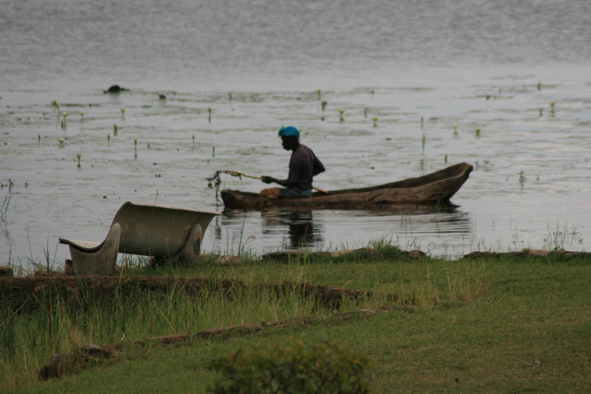
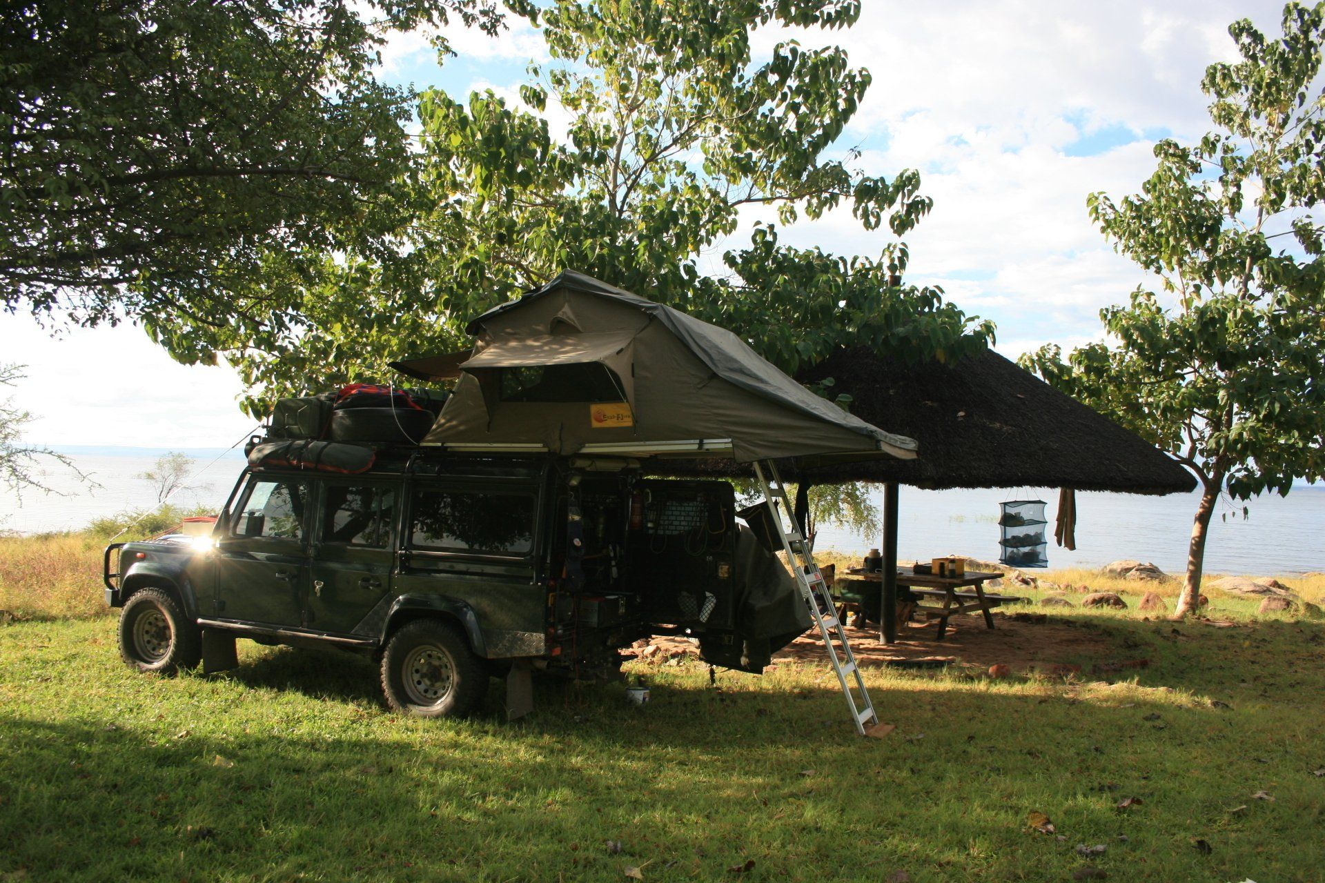
Camping – Kasanka National Park, Pontoon Camp. www.kasanka.com A quiet, lovely and isolated spot beside a small river and swamp with animals close by. A rustic shower and toilet with piping hot water brought by bucket by Edison the man in charge of the pontoon and camp.
Cost - US$10 per person per night + Park fees – US$10 per person per day + US$15 per vehicle per day.
Coordinates - S12 34.390 E30 14.073
Altitude = 1176 metres
Day 124 - Friday 12th June 2009
Total Trip miles = 8773 miles (14037 km) Daily miles = 30 miles (48 km)
Daily Route – Kasanka National Park
Camping – as previous night
Park fees – as previous day
Day 125 - Saturday 13th June 2009
Total Trip miles = 8872 miles (14195 km) Daily miles = 99 miles (158 km)
Daily Route – Kasanka National Park to Chiundaponde and Chikuni, Bangweulu Swamps
Camping – Shoebill Island Camp www.kasanka.com Tented accommodation, basic but superb location and very attentive staff, but we were the only ones there.
Cost - accommodation 2x two nights = Kw1000000: boat transfer = Kw150000
Total bill for two nights, including food, drink and expedition = Kw2068500. Cash only. We paid US$200 and the Kw1068500 balance in kwachas as we didn’t have enough local currency, not having seen a bank since Lusaka.
Park fees – Shoebill Expedition = Kw300000
Park up location Coordinates - S11 56.942 E30 15.191
Altitude = 1173 metres
Day 126 - Sunday 14th June 2009
Trip miles = 8872 miles (14195 km) Daily miles = 0 miles (0 km)
Daily Route – Bangweulu Swamp
Camping – as previous night
Day 127 - Monday 15th June 2009
Total Trip miles = 8967 miles (14347 km) Daily miles = 99 miles (152 km)
Daily Route – Bangweulu Swamps through the Lavushi Manda National Park to the T2 and off to Mutinondo
Camping – Mutinondo Wilderness Camp. www.mutinondozambia.com A lovely site, basic but good long-drop toilets with a lovely view through the panoramic open window and hot showers with washing up area. There is a restaurant at reception within walking distance. No electricity.
Cost - Kw40,000 per person per night
Coordinates - S12 27.185 E31 17.483
Altitude = 1456 metres
Day 128 - Tuesday 16th June 2009
Total Trip miles = 8967 miles (14347 km) Daily miles = 0 miles (0 km)
Daily Route – Mutinondo Camp
Camping – as previous night
Day 129 - Wednesday 17th June 2009
Total Trip miles = 8967 miles (14347 km) Daily miles = 0 miles (0 km)
Daily Route – Mutinondo Camp
Camping – as previous night
Day 130 - Thursday 18th June 2009
Total Trip miles = 9103 miles (14565 km) Daily miles = 136 miles (218 km)
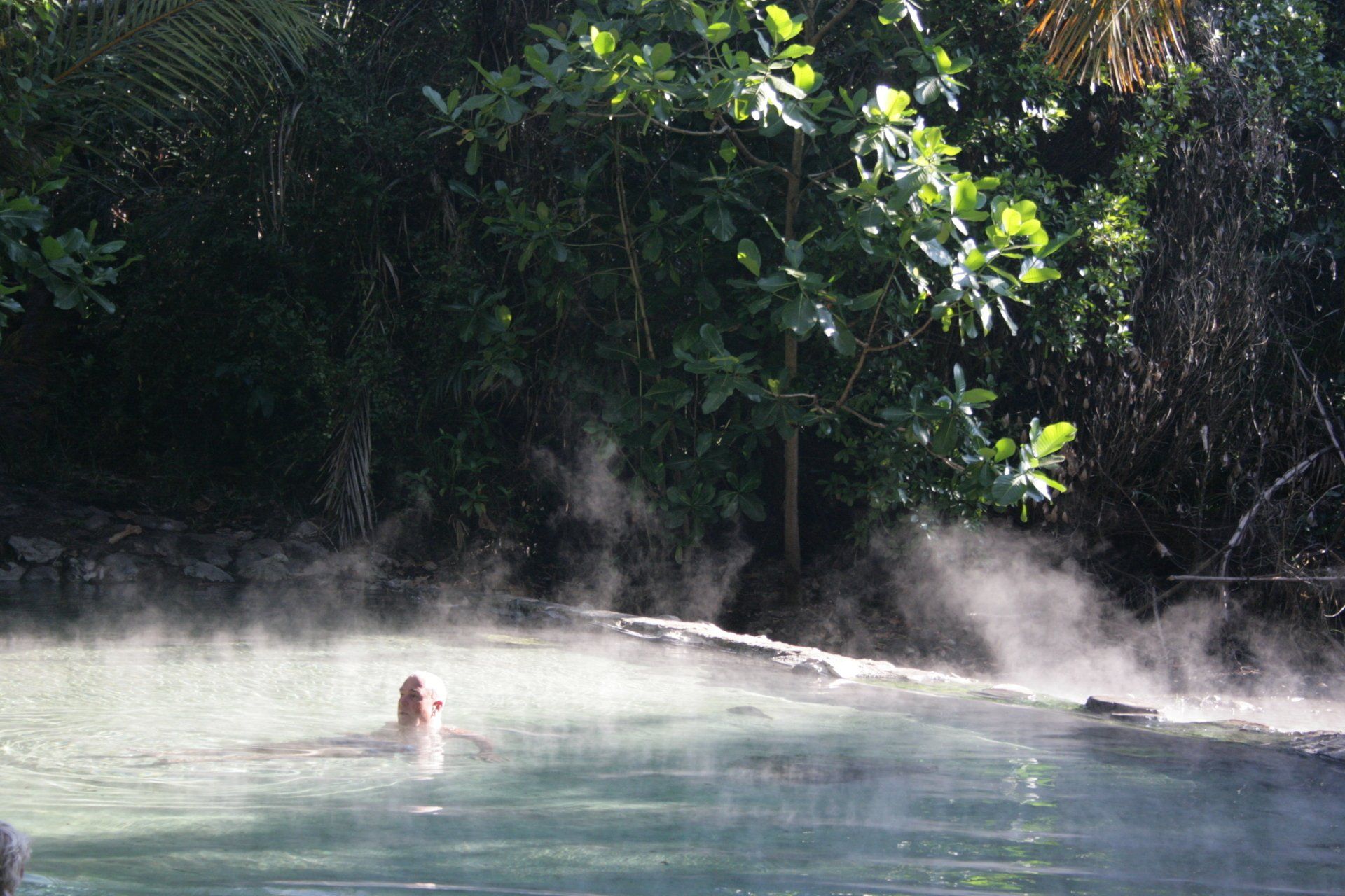
Daily Route – Mutinondo to Mpika then north off T2 to Shiwa Ngandu and to the Kapishya Hot Springs
Camping – Kapishya Hot Springs Lodge. www.shiwasafaris.com A beautiful site next to a lovely river with a large hot spring for bathing plus bar and restaurant; well worth considering if you should ever be in the area. Ablutions fine. No electricity.
Cost - US$10 per person per night.
Coordinates - S11 10.161 E31 36.016
Altitude = 1425 metres
Day 131 - Friday 19th June 2009
Total Trip miles = 9103 miles (14565 km) Daily miles = 0 miles (0 km)
Daily Route – In and around Kapishya Hot Springs
Camping – as previous night
Day 132 - Saturday 20th June 2009
Total Trip miles = 9103 miles (14565 km) Daily miles = 0 miles (0 km)
Daily Route – In and around Kapishya Hot Springs
Camping – as previous night
Day 133 - Sunday 21st June 2009
Total Trip miles = 9374 miles (15006 km) Daily miles = 276 miles (442 km)
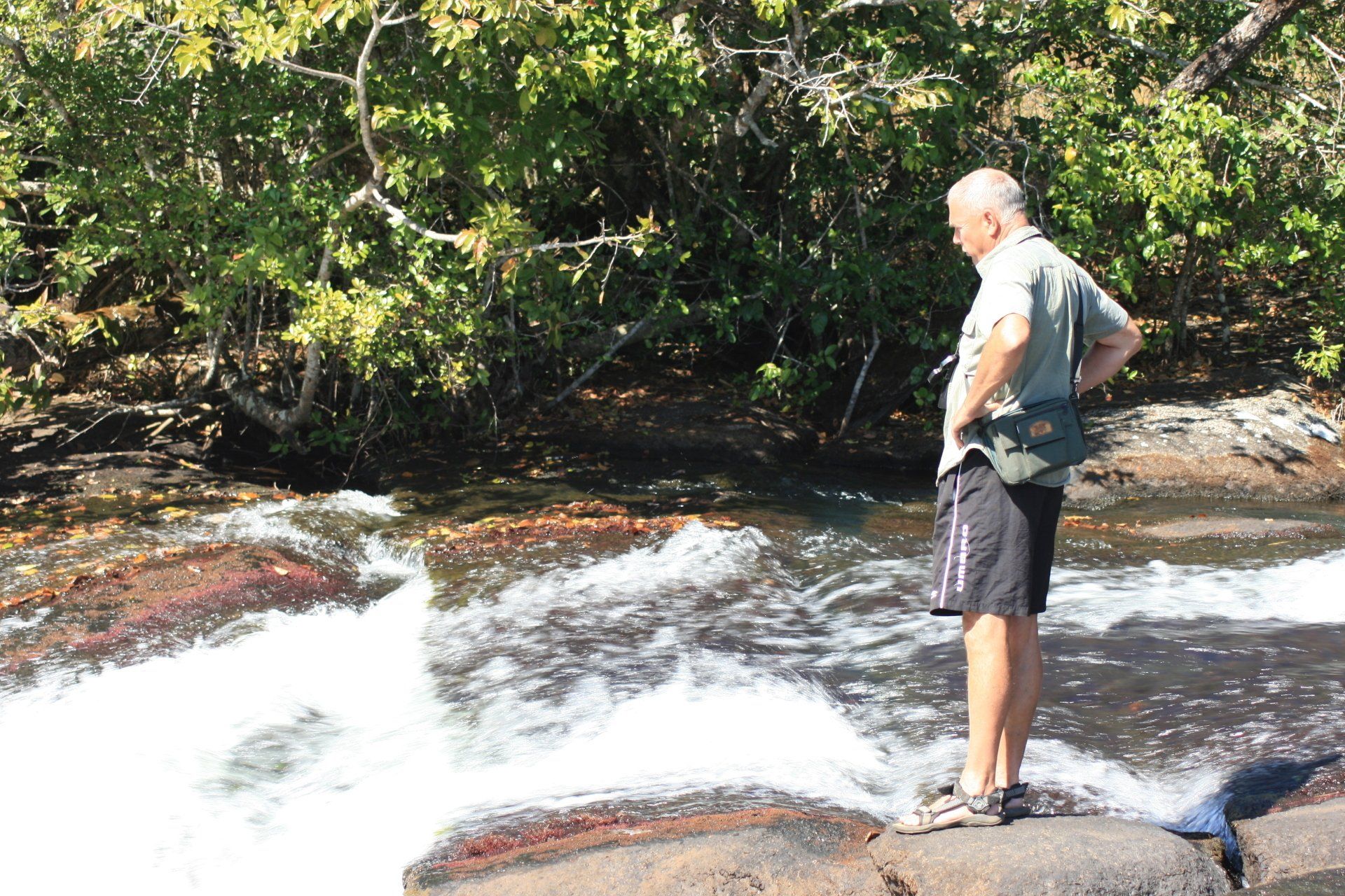
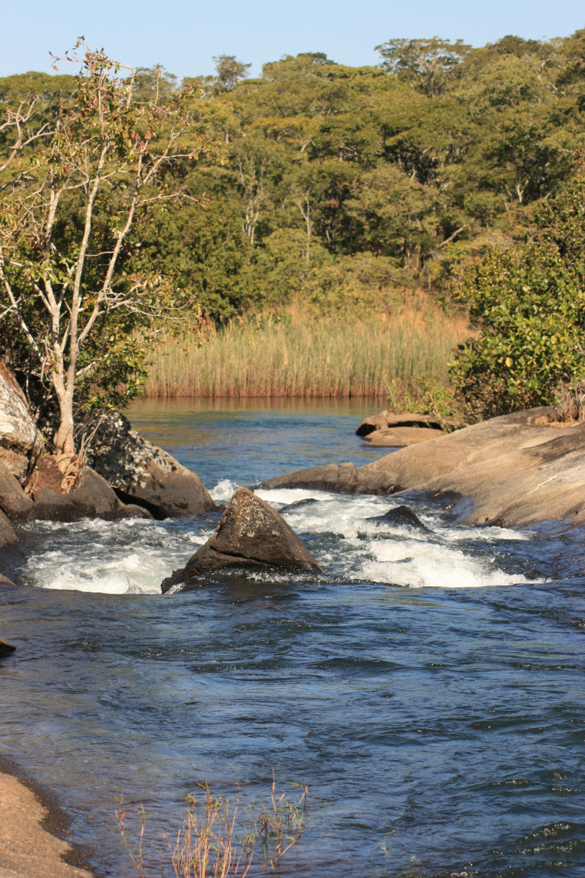
Daily Route – Kapishya Springs to Kasama, diverted to the Chisimba Falls and back then on to the Kalambo Falls
Camping – Kalambo Falls. A very basic site with dubious toilets and we didn’t try the showers! It is however, sited right at the top of the falls with good footpaths along the gorge edge. No electricity.
Cost - US$10 per person per night + Park fees – US$3 per person per day + US$3 per vehicle per day.
Coordinates - S8 35.836 E31 14.374
Altitude = 1210 metres
Day 134 - Monday 22nd June 2009
Total Trip miles = 9436 miles (15098 km) Daily miles = 57 miles (91 km)
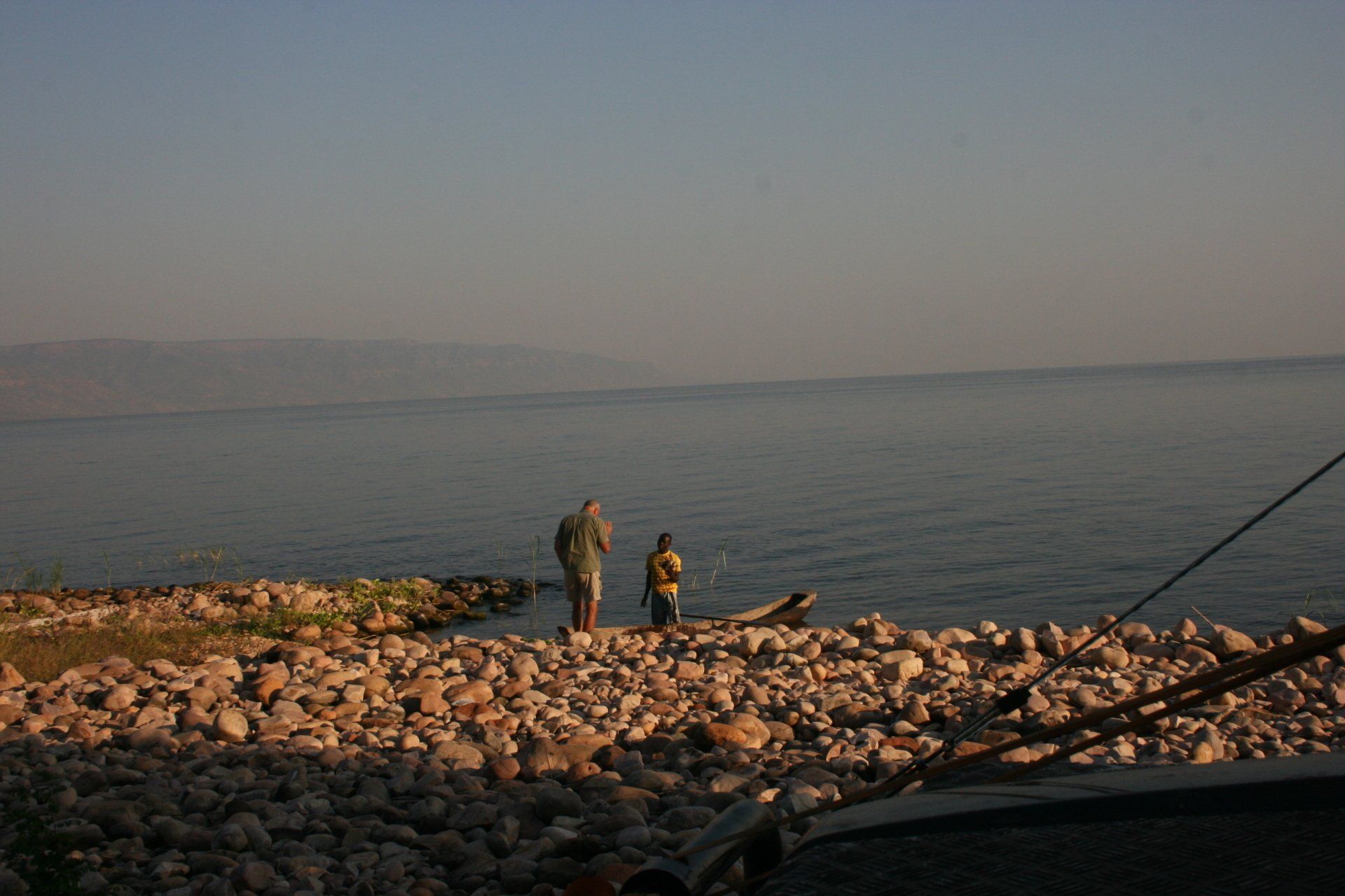
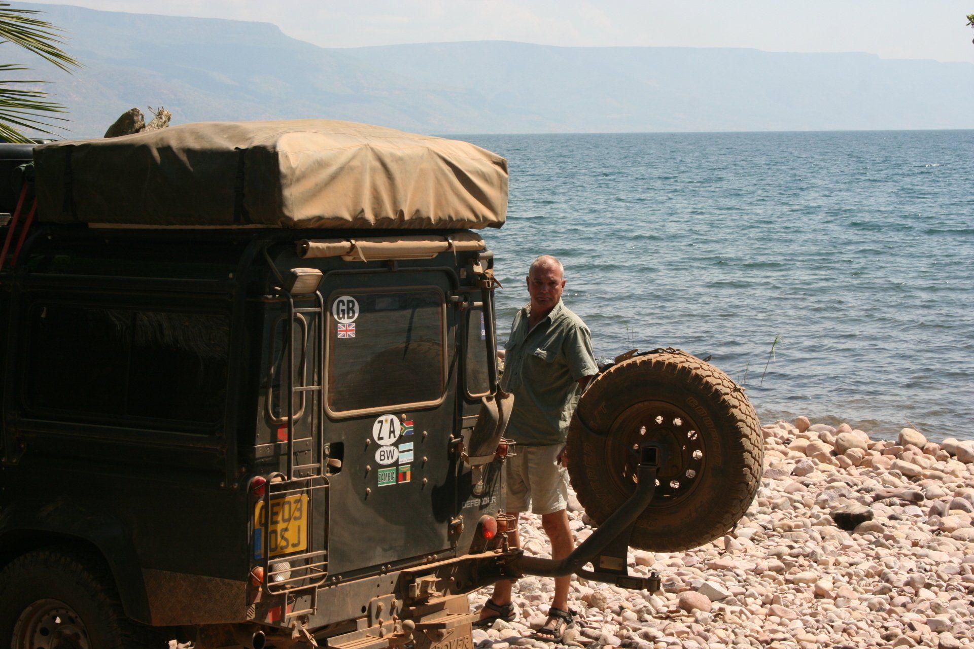
Daily Route – Kalambo Falls to Mbala to Mpulungu and on to the Lake Tanganyika Lodge.
Camping – Lake Tanganyika Lodge, Mpulungu. Our pitch was set among the shore side pebbles but the nearby eating area allowed easier going. Facilities fine. No electricity.
Cost Kw30000 per person per night.
Coordinates - S8 46.869 E31 04.842
Altitude = 778 metres
Day 135 - Tuesday 23rd June 2009
Total Trip miles = 9436 miles (15098 km) Daily miles = 0 miles (0 km)
Daily Route – Lake Tanganyika Lodge.
Camping – as previous night
Day 136 - Wednesday 24th June 2009
Trip miles to border = 9779 miles (15646 km) Daily miles to border = 147 miles (235 km)
Daily Route – Lake Tanganyika Lodge, Mpulungu to Mbala and across to Nakonde border crossing.