Africa4x4
African Adventure - Our Trip
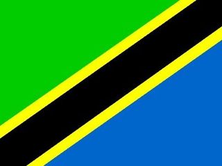
United Republic of Tanzania
& Zanzibar
Dates: 24th June 2009 to 6th August 2009
43 Days
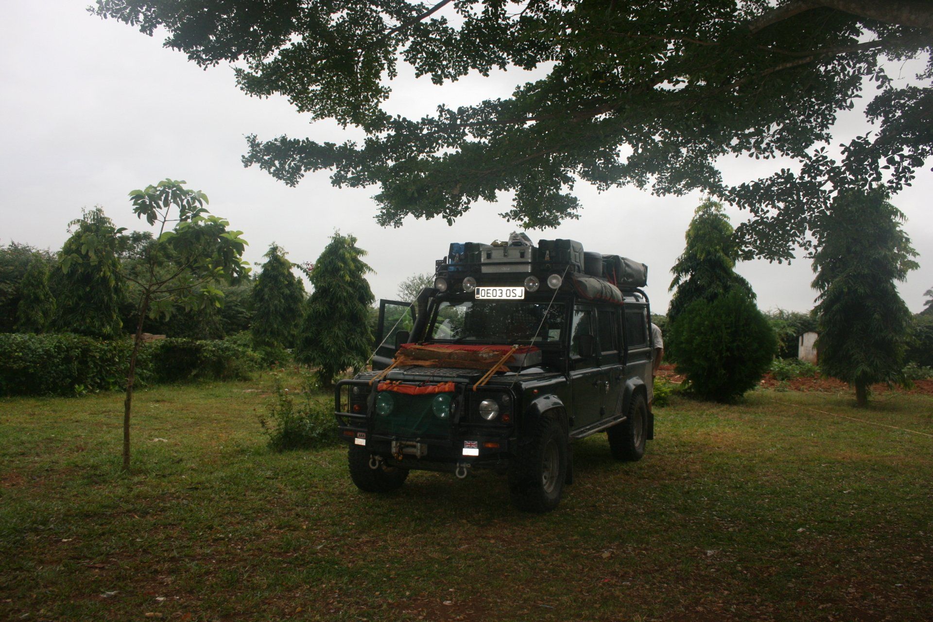
Tanzania miles = 3016 miles (4826 kms)
Trip miles = 12835 miles (20536 kms)

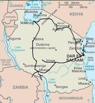


Tanzania and Zanzibar Overview (as of 2010)
Tanzania at 945,000 km2 (UK 243,000 km2) is bigger than France and Germany together. It has a population of 43,739,000 (UK 62,000,000) and a population density of 46.3 per km2 (UK 255 per km2).
Zanzibar Island has an area of 1464 km2 slightly bigger than Berkshire, an English county.
Tanzania is bordered by 8 countries: Burundi for 451 kms; Democratic Republic of the Congo for 473 kms; Kenya for 769 kms; Malawi for 475 kms; Mozambique for 756 kms; Rwanda for 217 kms; Uganda for 396 kms; and Zambia for 338 kms. It has 1424 kms of Indian Ocean coastline. Formerly Tanganyika.
Low point = sea level: High point = Mount Kilimanjaro 5,892 metres.
Zanzibar remains a semi-autonomous part of the United Republic of Tanzania.
Capital – Dodoma (although Dar es Salaam is administrative capital)
Capital Zanzibar – Zanzibar Town
Official language
Swahili plus tribal languages, although English is widely spoken. Arabic on Zanzibar.
Entry issues: Passports with 6 months remaining. Visas are required by UK Nationals. 3 months single entry visa cost US$50 each.
Zanzibar has its own Immigration control and a requirement to fill out a medical form but no additional restrictions.
Borders crossings: The Zambia/Tanzania Nakonde/Tunduma was fairly frenetic and long-winded and not for the timid or unwary.
Into and out of Zanzibar reasonably sensible although they require a medical declaration. Getting a driving permit may take time so have an international permit if intending to drive.
The Tanzania/Malawi Mwandenga/Kyela crossing was in complete contrast to the other crossings - deserted and civilised.
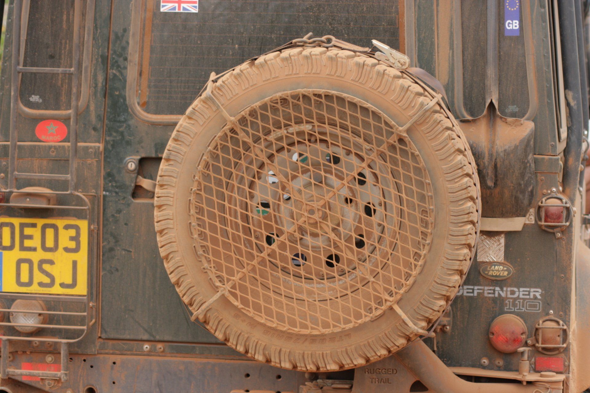
Vehicle issues: Carnet de Passage required. Photo driving licence or international licence required. Drive on left. Insurance, third party, for 3 months = US$70, obtained from independent agent touting for business. Disc to be displayed in windscreen.
Motor Vehicle Licence, valid for 30 days = US$20. Renewed at a Tanzanian Revenue Authority office for Tsh27000. Fuel Levy = US$5
2 warning triangles and fire extinguisher required.
For driving on Zanzibar local driving permit required but best to have an International Licence.
Keep all documents to hand, but secure, for frequent police checks. Police and Immigration checks vary in enthusiasm: from full check to fire extinguisher or warning triangle check. Most were, however, very polite. Officials, generally, appeared to be hopeful of extracting something from tourists even if it was food or other gifts. On Zanzibar the police corruption was overt but seemed to be tolerated by the locals.
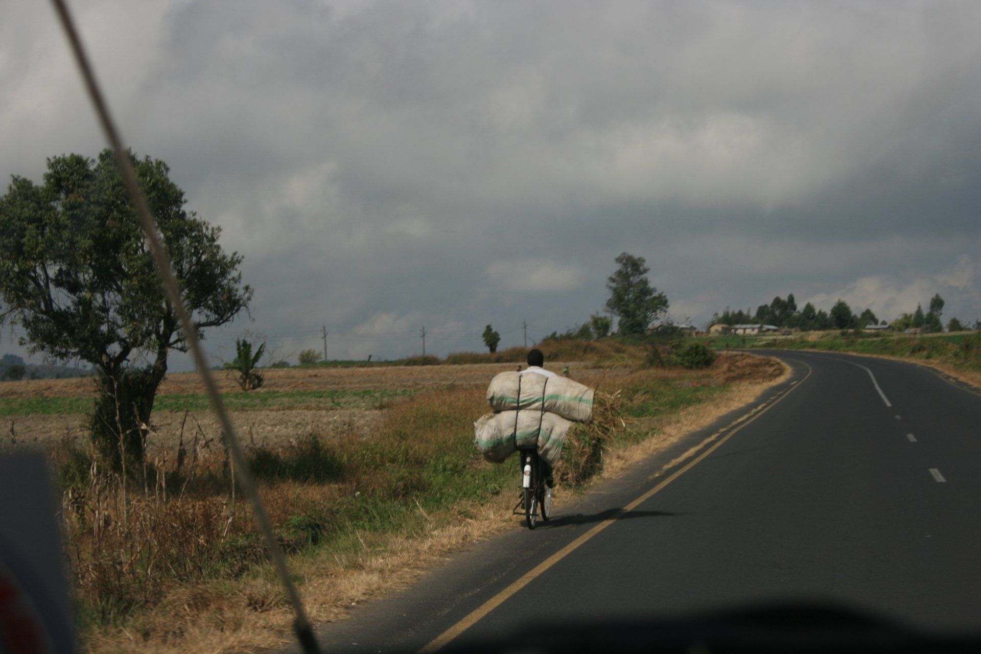
Petrol and Diesel widely available at most towns and large villages. All garages are cash only, all attended and usually with a screen washer – small tip usual. As with all of Africa, will squeeze as much in as possible, usually leading to spills!
Average cost of diesel per litre = £0.69. (Varied between £0.61 & £0.76)
Banks; ATMs; Credit Cards
ATMs could be a challenge but were available in the larger towns; these worked fine most of the time. Barclays seemed to be the most reliable with the highest withdrawal limit. Credit cards accepted in the larger supermarkets in the larger towns but these were few and far between.
Telephones: International dialling code +255. Fairly good mobile coverage in towns and along major routes. We used Zain although Vodacom also available. Cheap SIMs and top up cards widely available from street sellers.
Time (UTC = Coordinated Universal Time, equal to GMT) = UTC+03
Tanzania, being in east Africa, is one hour behind rest of southern Africa
Currency & UK£ rate at time of visit:
Tanzanian Shilling Tsh
£1 = Tsh2028: 10,000 Shillings = £4.93.
GARAGES
IRINGA
Neels Autoworks, Iringa. PO Box 45.
Tel 0744 293043
e mail - neels4@hotmail.com
Coordinates - S7 46.401 E35 42.039
Rear nearside axle seals, inner and outer replaced.
Back street garage - very cheap.
MBEYA
The Kabuni 4x4 workshop, Mbeya (ask for Marcus)
Coordinates - S8 56.257 E33 18.230
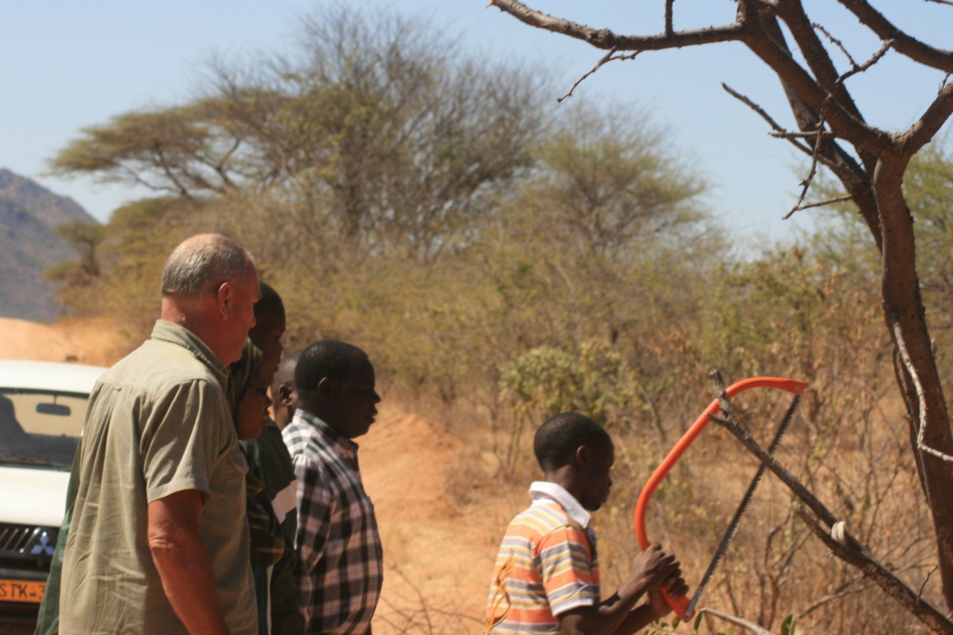
A community run repair operation with extensive facilities.
Rear suspension shock absorber to axle mounting bracket welded back on - very cheap.
Route and Camping -Tanzania & Zanzibar
Day 136 - Wednesday 24th June 2009 CONTINUED
Zambia to Tanzania
Trip miles = 9819 miles (15710 kms) Total daily miles = 383 miles (613 kms)
Daily Route – Mpulungu to Nakonde/Tunduma crossing up to Mbeya and on to nearly Ifunda.
Camping – The Old Farm House, Kisolanza near Ifunda. A nice site just off the Tanszam Highway. Pitches have shelters. Restaurant. Good ablution block. No electricity Tel. Cell +255754 306144 e mail: info@kisolanza.com
Cost = US$4 or Tsh5000 per person per night.
Coordinates - S8 08.757 E35 24.740
Altitude =1758 metres
Day 137 - Thursday 25th June 2009
Kisolanza
Trip miles = 9819 miles (15710 kms) Daily miles = 0 miles (0 kms)
Daily Route – In The Old Farmhouse Camp.
Camping – as previous night
Day 138 - Friday 26th June 2009
Kisolonza to Iringa
Trip miles = 9863 miles (15781 kms) Daily miles = 44 miles (70 kms)
Daily Route – Kisolonza to Iringa and Riverside Camp.
Camping – Riverside Campsite, Iringa. A nice site 12kms from Iringa not far off the Tanszam Highway. Restaurant. Fair ablution block. No electricity.
Cost = Tsh6000 per person per night.
Coordinates - S7 47.872 E35 47.783
Altitude =1620 metres
Day 139 - Saturday 27th June 2009
Iringa to Ruaha National Park
Trip miles = 9974 miles (15958 kms) Daily miles = 111 miles (178 kms)
Daily Route – Riverside Camp to Iringa and on to Ruaha National Park.
Camping – Chogela Campsite about 25kms short of the Ruaha Gate. A nice but quiet site outside the park. It had Restaurant but no evidence of food; it also had a bar but no drink. Good ablution block. No electricity. Tel 0782032025 or 0769261605
Cost = Tsh10000 per person per night.
Coordinates - S7 50.013 E35 05.189
Altitude =965 metres
Park fees – Ruaha National Park – US$20 per person per 24 hours + US$40 for a foreign registered vehicle + US$10 for a map!
Day 140 - Sunday 28th June 2009
Trip miles = 10074 miles (16118 kms) Daily miles = 100 miles (160 kms)
Daily Route – To and from Ruaha National Park.
Camping – as previous night
Park fees – as previous day
Day 141 - Monday 29th June 2009
Trip miles = 10172 miles (16275 kms) Daily miles = 98 miles (157 kms)
Daily Route – To and from Ruaha National Park.
Camping – as previous night
Day 142 - Tuesday 30th June 2009
Trip miles = 10238 miles (16381 kms) Daily miles = 66 miles (106 kms)
Daily Route – Ruaha National Park to Iringa and on to Riverside Camp.
Camping – Riverside Campsite, Iringa. A nice site 12kms from Iringa not far off the Tanzam Highway. Restaurant. Fair ablution block. No electricity. www.riversidecampsite-tanzania.com
Cost = Tsh6000 per person per night.
Coordinates - S7 47.872 E35 47.783
Altitude =1620 metres
Day 143 - Wednesday 1st July 2009
Trip miles = 10238 miles (16381 kms) Daily miles = 0 miles (0 kms)
Daily Route – In Riverside Camp, Iringa.
Camping – as previous night
Day 144 - Thursday 2nd July 2009
Trip miles = 10260 miles (16416 kms) Daily miles = 22 miles (35 kms)
Daily Route – To Iringa.
Camping – as previous night
Day 145 - Friday 3rd July 2009
Trip miles = 10349 miles (16558 kms) Daily miles = 89 miles (142 kms)
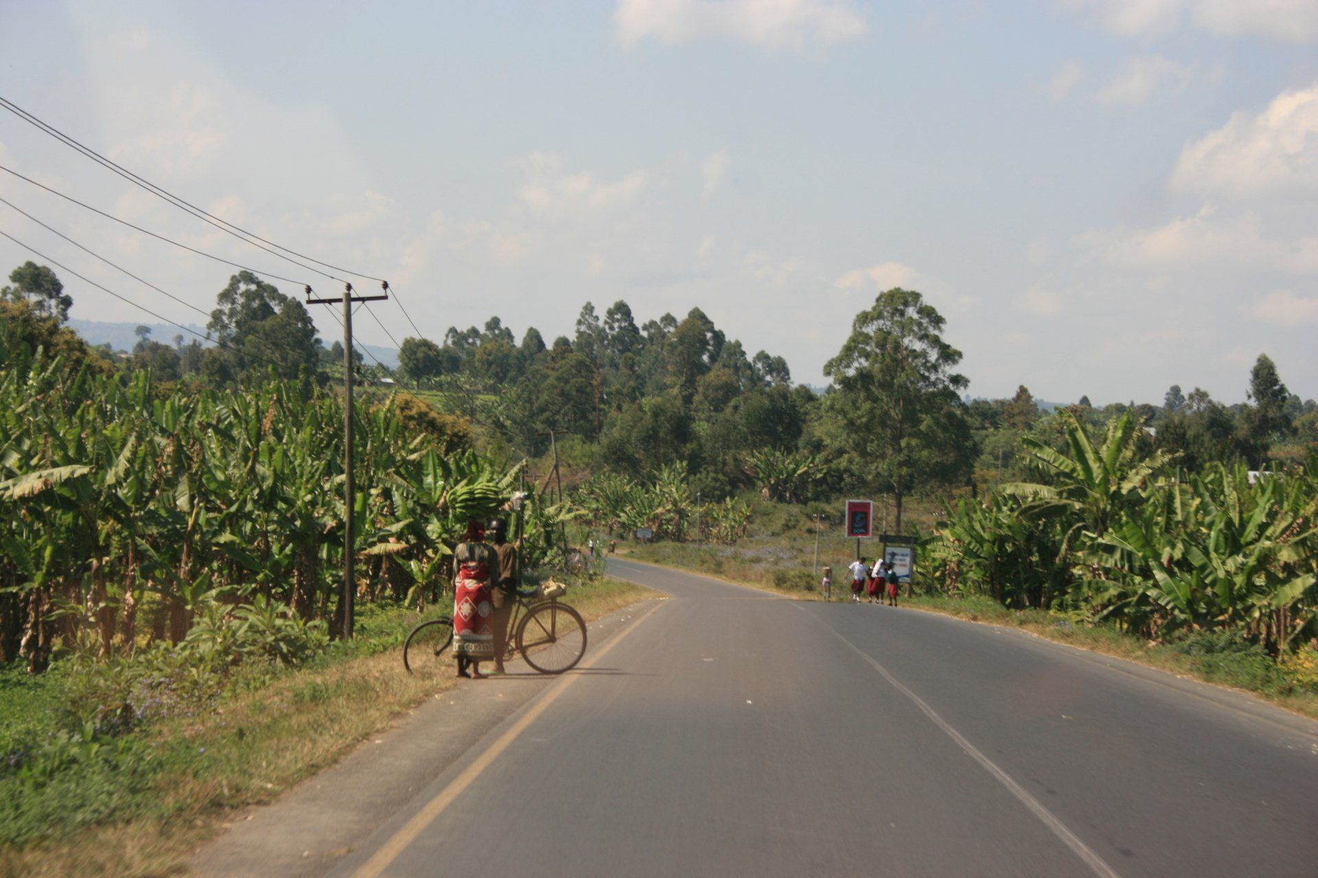
Daily Route – Iringa to Baobab Valley Campsite, Udzungwa Mountains.
Camping – Baobab Valley Campsite, Udzungwa Mountains. A very nice site next to the main Tanzam road. Nice restaurant and bar alongside the Great Ruaha River. Electricity.
Cost = Tsh6500
Coordinates - S7 31.324 E36 36.013
Altitude = 516 metres
Day 146 - Saturday 4th July 2009
Trip miles = 10579 miles (16926 kms) Daily miles = 230 miles (368 kms)
Daily Route - Baobab Valley Campsite, Udzungwa Mountains to Morogoro and across to Bagamoyo.
Camping - Bagamoyo Beach Resort, Bagamoyo. An unusual campsite in an area of the gardens of a beach resort in amongst the coconut palms next to the Indian Ocean. Nice restaurant and bar looking out over the sea. Ablution block with cold showers. Swimming pool. No electricity.
Cost = Tsh6000 pppn.
Coordinates - S6 25.813 E38 54.161
Altitude = 3 metres.
Day 147 - Sunday 5th July 2009
Trip miles = 10579 miles (16926 kms) Daily miles = 0 miles (0 kms)
Daily Route – In Bagamoyo Beach Resort.
Camping – as previous night.
Day 148 - Monday 6th July 2009
Trip miles = 10628 miles (17005 kms) Daily miles = 49 miles (78 kms)
Daily Route – Bagamoyo Beach Resort south to Dar es Salaam, over ferry to Kipepeo Beach Camp.
Camping – Kipepeo Beach Camp, south of Dar es Salaam. What could have been a lovely site next to the Indian Ocean was spoilt by the popularity of it with travellers and overlanders that filled every available space. Lovely beach with bandas where they would serve food and drink. Also available were beach bandas accommodation. Nice restaurant and bar. Reasonable ablutions but could be busy as they served the campsite, chalets and day visitors.
Cost = Tsh6500 per person per day. Tel 022 282 0877. www.kipepocamp.com
Coordinates - S6 51.103 E39 21.702
Altitude = 4 metres
Day 149 - Tuesday 7th July 2009
Trip miles = 10628 miles (17005 kms) Daily miles = 0 miles (0 kms)
Daily Route – In Kipepeo Beach Camp.
Camping – as previous night
Day 150 - Wednesday 8th July 2009
Daily route - Dar es Salaam to Stone Town, Zanzibar by taxi & Ferry
Vehicle stored at campsite.
Accommodation – Mauwani Hotel, formerly the Mwembe Hotel, Stone Town. A reasonable hotel in the heart of Stone Town.
Cost = US$50 for double room including breakfast.
Zanzibar Ferry – US$65 per person return open ticket.
Day 151 - Thursday 9th July 2009
Daily route - Stone Town to Matemwe, Zanzibar.
Accommodation – Ali’s Bungalows, Matemwe. Lovely location if you ignored the noisy mosque next door. Rooms needed some attention. Bar and restaurant area quirky but with a lovely sea view. With a bit of effort could become a lovely place.
Cost = US$35 for double room.
Day 152 - Friday 10th July 2009
Daily route – Matemwe to Bwejuu, Zanzibar - by hire car.
Accommodation – Sunshine Hotel near Bwejuu. An upmarket hotel with lovely rooms with sea views. Very nice restaurant.
Cost = US$100 for double room including breakfast.
Evening meal, with wine, US$90.
Day 153 - Saturday 11th July 2009
Daily route – Around the south of Zanzibar Island.
Accommodation – Kilimani Kwetu Bungalows, Bwejuu village. A community run set up. Adequate rooms with a small restaurant with a bar, of sorts. Managed to serve up a delicious meal. Tel +255 777 465243
Cost = US$40 for double room including breakfast
Evening meal, US$13.
Park fees – Jozani Park = US$ 8 per person
Day 154 - Sunday 12th July 2009
Daily route – Zanzibar Island to Dar es Salaam via the ferry.
Camping – as Day 148
Day 155 - Monday 13th July 2009
Trip miles = 10628 miles (17005 kms) Daily miles = 0 miles (0 kms)
Daily Route – Kipepeo Beach Camp, Dar es Salaam.
Camping – as previous night
Day 156 - Tuesday 14th July 2009
Trip miles = 10811 miles (17298 kms) Daily miles = 183 miles (293 kms)
Daily Route – Kipepeo Beach Camp, Dar es Salaam to Segera.
Camping – Segera Hotel Campsite, Segera. Fine as an overnight stop. Showers didn’t work. No electricity.
Cost = Tsh5000 per person per day.
Coordinates - S5 19.484 E38 33.151
Altitude = 315 metres
Day 157 - Wednesday 15th July 2009
Trip miles = 10852 miles (17363 kms) Daily miles = 41 miles (66 kms)
Daily Route – Segera to the Amani Nature Reserve, Usambara Mountains.
Camping – National Institute for Medical Research HQ, Malaria Research Centre Rest House, Amani Nature Reserve. The centre did rooms but not really geared up for Land Rovers camping. Tents would have been fine but the grass area was fairly small and a 4X4 was needed to reach it. No open fires. Had use of showers and toilets inside rest house. No electricity.
Cost = Tsh5000 per person per day.
Coordinates - S5 05.756 E38 39.583
Altitude = 409 metres
Park fees for Amani Nature Reserve – US$30 per person + US$30 per vehicle but this was a one-off payment.
Camp fees at official site at park gate would have been US$30 per person per night.
Day 158 - Thursday 16th July 2009
Trip miles = 10852 miles (17363 kms) Daily miles = 0 miles (0 kms)
Daily Route – In and around Amani Nature Reserve, Usambara Mountains.
Camping – as previous night.
Day 159 - Friday 17th July 2009
Trip miles = 10852 miles (17363 kms) Daily miles = 0 miles (0 kms)
Daily Route – In and around Amani Nature Reserve, Usambara Mountains.
Camping – as previous night.
Day 160 - Saturday 18th July 2009
Trip miles = 11065 miles (17704 kms) Daily miles = 213 miles (341 kms)
Daily Route – Amani Nature Reserve, Usambara Mountains to Moshi.
Camping – Honey Badger Restcamp, Moshi. An acceptable overnight stop. Only ones there. Electricity and kitchen/washing area. Reasonable ablution block.
Cost = Tsh6000 per person per night
Coordinates - S3 21.097 E37 23.031
Altitude = 811 metres
Day 161 - Sunday 19th July 2009
Trip miles = 11150 miles (17840 kms) Daily miles = 85 miles (136 kms)
Daily Route – Moshi to Arusha National Park.
Camping – Colombus Mountain Lodge, Arusha National Park. Ideally situated right next to the park gate. Busy when we were there but staff very accommodating. Ablution block inside restaurant. No electricity.
Cost = US$5 per person per night
Coordinates - S3 18.964 E36 52.674
Altitude = 1391 metres
Park fees – US$35 per person per 24 hours + US$40 per vehicle
Day 162 - Monday 20th July 2009
Trip miles = 11221 miles (17954 kms) Daily miles = 71 miles (114 kms)
Daily Route – Arusha National Park to Arusha.
Camping – Meserani Oasis Lodge, near Arusha. A very quiet site with just us, compared to the heaving Snake Park Site down the road. Reasonable restaurant. Ablution block fine. No electricity.
Cost = US$7 per person per night
Coordinates - S3 24.389 E36 30.560
Altitude = 1311 metres
Day 163 - Tuesday 21st July 2009
Trip miles = 11319 miles (18110 kms) Daily miles = 98 miles (157 kms)
Daily Route – Meserani Oasis Lodge, near Arusha to Tarangire National Park.
Camping – Njiwa Special Camp, Tarangire National Park. No facilities whatsoever but set in the middle of nowhere in total and absolute isolation and tranquillity with just the wild animals for company. A lot of money but ………
Cost = US$50 per person per night
Coordinates - S4 02.148 E36 03.823
Altitude = 1130 metres
Park fees – US$35 per person per 24 hours + US$40 per vehicle
Day 164 - Wednesday 22nd July 2009
Trip miles = 11380 miles (18208 kms) Daily miles = 61 miles (98 kms)
Daily Route – Tarangire National Park.
Camping – Zion Campsite (formerly Kigongoni Camp) just north of Tarangire National Park. A convenient stopover for the Park and not too busy considering the number of tourists travelling to and from the Park and Arusha. Reasonable ablution block. No electricity.
Cost = Tsh10000 per person per night
Coordinates - S3 41.949 E35 56.895
Altitude = 1024 metres
Day 165 - Thursday 23rd July 2009
Trip miles = 11470 miles (18352 kms) Daily miles = 90 miles (144 kms)
Daily Route – Tarangire National Park to Makuyuni then north to the Panorama Safari Camp, near Lake Manyara National Park.
Camping – Panorama Safari Camp Zion near Lake Manyara National Park. Nice location with brilliant views. Not really geared up for vehicles. Pitched own tent but pitches were small and terraced. Restaurant but best to bring one’s own food. Reasonable ablution block. No electricity.
Cost = Tsh10000 per person per night
Coordinates - S3 22.812 E35 49.357
Altitude = 1246 metres
Park fees – US$35 per person per 24 hours + US$40 per foreign vehicle.
Day 166 - Friday 24th July 2009
Trip miles = 11571 miles (18514 kms) Daily miles = 101 miles (162 kms)
Daily Route – Lake Manyara National Park.
Camping – as previous night
Day 167 - Saturday 25th July 2009
Trip miles = 11610 miles (18576 kms) Daily miles = 39 miles (62 kms)
Daily Route – Panorama Safari Camp to Karatu and Ngorongoro Crater.
Camping – Simba Public Camp set at the top of the Ngorongoro Crater. This could be a perfect spot but …. We weren’t allowed to drive the vehicle on the grass and therefore were expected to set up on the perimeter track used by other vehicles and still pay US$60 per night for the privilege. There is now a new ablution block, with flush sit-down toilets but still with cold showers. This was a very busy site, full of overlanders, as it features in any stop-over for visiting the Crater. And of course there is the cost! A cheaper option would be to camp at Karatu for two nights and drive in for the day but that would still cost US$340 plus camping.
Cost = US$30 per person per night
Coordinates - S3 13.662 E35 29.449
Altitude = 2319 metres
Park fees – US$50 per person per 24 hours + US$40 per vehicle per day
Fee for descent into the crater, 7am to 6pm = US$200 for the vehicle. Must take a guide, at extra cost, although they grudgingly let us in without one as we had no room.
Day 168 - Sunday 26th July 2009
Trip miles = 11681 miles (18690 kms) Daily miles = 71 miles (114 kms)
Daily Route – In and around Ngorongoro Crater.
Camping – as previous night
Day 169 - Monday 27th July 2009
Trip miles = 11801 miles (18882 kms) Daily miles = 120 miles (192 kms)
Daily Route – Ngorongoro Crater to Seronera, Serengeti.
Camping – Pimba Public Camp, Seronera, Serengeti. Again, this should have perfect spot but ….. A small site with lots of overlanders. The ablution block was generally adequate but too small for the numbers – water ran out! No electricity. This site had been recommended as the best when we checked in: doesn’t say much for the other sites.
Cost = US$30 per person per night
Coordinates - S2 25.237 E34 51.052
Altitude = 1520 metres
Park fees – US$50 per person per 24 hours + US$40 per vehicle per day
Fuel available but £0.89 pence per litre compared with the usual Tanzanian price of £0.65 pence, but to be fair it was in the middle of the Serengeti and the only fuel for kilometres around.
Day 170 - Tuesday 28th July 2009
Trip miles = 11896 miles (19034 kms) Daily miles = 95 miles (152 kms)
Daily Route – In and around Seronera, Serengeti.
Camping – as previous night
Day 171 - Wednesday 29th July 2009
Trip miles = 12002 miles (19203 kms) Daily miles = 106 miles (170 kms)
Daily Route – Nyatwale Lake Victoria Campsite not far from the Ndabaka Gate, Serengeti.
Camping – Nyatwale Lake Victoria Camp. A nice quiet site right on the shores of Lake Victoria. Our pitch was on the lawn but had access to a chalet for toilet and showers + electricity.
Cost = Tsh10000 per person per night
Coordinates - S2 09.482 E33 49.996
Altitude = 1132 metres
The black mamba in the restuarant was an interesting diversion!
Day 172 - Thursday 30th July 2009
Trip miles = 12002 miles (19203 kms) Daily miles = 0 miles (0 kms)
Daily Route – In Nyatwale Lake Victoria.
Camping – as previous night.
Day 173 - Friday 31st July 2009
Trip miles = 12091 miles (19346 kms) Daily miles = 89 miles (142 kms)
Daily Route – Nyatwale Lake Victoria Campsite to Mwanza.
Camping – Mwanza Yacht Club, Lake Victoria, Mwanza. A busy and noisy site in the Yacht Club grounds alongside the lake. Ablution bock adequate but busy. Electricity. Cost = Tsh10000 per person per night
Coordinates - S2 31.725 E32 53.663
Altitude = 1137 metres
Day 174 - Saturday 1st August 2009
Trip miles = 12316 miles (19706 kms) Daily miles = 225 miles (360 kms)
Daily Route – Mwanza to Tabora.
Camping – Orion Tambora Hotel, Tabora. Adequate as a stop-over. Camping was in rear yard and lawn. Room provided for ablutions, including HOT shower. No electricity.
Cost = Tsh15000 per person per night
Coordinates - S5 01.347 E32 48.968
Altitude = 1218 metres
Day 175 - Sunday 2nd August 2009
Trip miles = 12665 miles (20264 kms) Daily miles = 349 miles (558 kms)
Daily Route – Tabora to Mbeya - a long hard slog that took its toll on the vehicle.
Camping – Kabuni Centre, Mbeya. Not an ideal site but served the purpose. We squeezed in alongside a building rather than set up in the car park. Had ablutions. No electricity. Told not to leave tent after 10pm as dogs were let loose!
Cost = Tsh3000 per person per night
S8 54.561 E33 26.636
Altitude = 1716 metres
Day 176 - Monday 3rd August 2009
Trip miles = 12694 miles (20310 kms) Daily miles = 29 miles (46 kms)
Daily Route – Mbeya.
Camping – Ifisi Community Centre, Mbalizi Evangelical Church, Mbeya. A new set up and a much better site than last night (same group). Reasonable ablutions. No electricity.
Cost = Tsh5000 per person per night
Coordinates - S8 55.633 E33 18.231 (Not S8 55.784 E33 18.231)
Altitude = 1372 metres
Day 177 - Tuesday 4th August 2009
Trip miles = 12797 miles (20475 kms) Daily miles = 103 miles (165 kms)
Daily Route – Mbeya to Matema, Lake Malawi..
Camping – Matema Lake Shore Resort, Matema. A nice site near the beach with beach chalets and bar and restaurant. Fairly quiet. Good ablution block. No electricity.
Cost = Tsh4000 per person per night
Coordinates - S9 29.951 E34 00.975
Altitude = 478 metres
Day 178 - Wednesday 5th August 2009
Trip miles = 12797 miles (20475 kms) Daily miles = 0 miles (0 kms)
Daily Route – In Matema, Lake Malawi.
Camping – as previous night
Day 179 - Thursday 6th August 2009
Tanzania to Malawi
Trip miles to border = 12835 miles (20536 kms) Daily miles to border = 38 miles (61 kms)
Daily Route – Matema to Mwandenga, Kyela border crossing, Malawi..