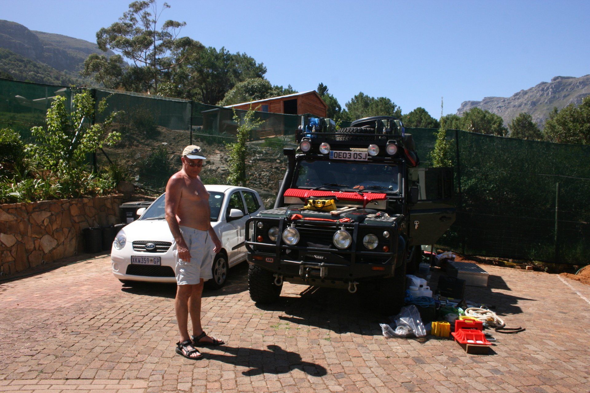
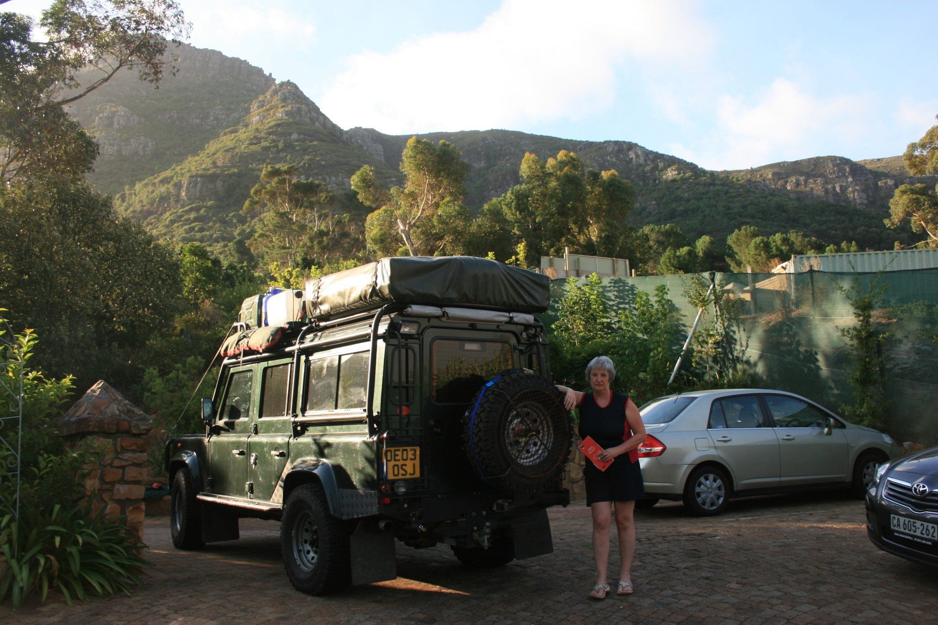
Africa4x4
African Adventure - Our Trip
Republic of South Africa
First Visit
Dates (first visit): 8th February 2009 to 22nd March 2009
42 Days - 22 on the road.
2528 miles (4044 km)
Trip miles = 2528 miles (4044 km)
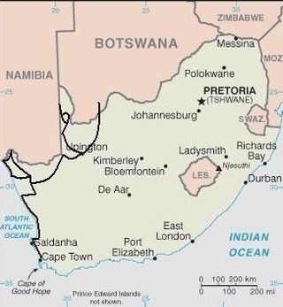


South Africa Overview (as at 2010)
South Africa at 1,221,000 km2 (UK 243,000 km2) is bigger than France, Spain & Portugal together. It has a population of 49,320,000 (UK 62,000,000) and a population density of 41 per km2 (UK 255 per km2).
It is bordered by 6 countries: Namibia for 967 km; Botswana for 1840 km; Zimbabwe for 225 km; Mozambique for 491 km along with the Kingdoms of Swaziland for 430 km and Lesotho for 909 km. It has 2798 km of Indian and Atlantic Ocean coastline.
Low point = sea level: high point = 3,408 metres Njesuthi Mountain in the Drakensberg Mountains.
Capital – Pretoria
Official language
11 official languages with Zulu; Xhosa; English and Afrikaans having the most speakers.
Entry issues: Passport with 6 months remaining. Visas are not required for UK Nationals but free Temporary Entry Permits are. These generally are granted for 90 days but beware Swaziland to South Africa issues. Initially South Africa refused us entry but then grudgingly allowed us in for 7 days. We had to extend, at a cost, at Home Affairs office but even then only extended for 30 days. This appears to be the only problem entry border and no real reason for it.
Border crossings generally, with exception of the Golela Swaziland to South Africa one, relaxed and hassle-free.
Vehicle issues: Carnet de Passage required – no requirement for it to be stamped within Southern African Common Customs Area (South Africa; Botswana; Swaziland; Lesotho; Namibia) but various from crossing to crossing. Photo driving licence or international licence required. Drive on left. Insurance, third party, is included in fuel costs. AA basic recovery for 12 months (South Africa only) cost R650.
Petrol and Diesel widely available at most towns and large villages. Most garages are cash only, all attended and usually with a screen washer – small tip usual. As with all of Africa, will squeeze as much in as possible, usually leading to spills! Some of the larger garage chains are starting to take credit cards but not widely available.
Average cost of diesel: 1st visit - £0.51; 2nd visit - £0.55; 3rd visit - £0.53
Banks; ATMs; Credit Cards
ATMs widely available in the towns and larger villages. Generally reliable. Credit cards accepted in many larger shops and supermarkets in the larger towns.
Telephones: International dialling code +27. Fairly good mobile coverage in towns and along major routes. Vodacom & MTN used. New (at time of second visit) requirement for new SIMs to be registered at a computer terminal – not easy to determine which shops do it though!
Time (UTC = Coordinated Universal Time, equal to GMT) = UTC+02
Currency & UK£ rate at time of first visit:
Rand
£1 = R13.55; 100 Rand = £7.27
GARAGES
HOUT BAY, WESTERN CAPE
R.A.C.E. (Ray’s Auto Centre of Excellence)
Tel: Hout Bay 94199.
Coordinates S34 02.391 E18 21.055.
Small general garage. Reasonably cheap.
First visit - New starter motor at beginning of trip
Second visit - Oil service, antifreeze, new temperature sensor and general check-over at end of trip.
UPINGTON, NORTHERN CAPE
Werner Jacobs Hersteldienste, Paul Kruger Straat 10, Upington. Mobile 0844325039.
Coordinates S28 26.671 E21 15.240.
One-man operation in back garden specialising in Land Rovers - very cheap (Diesel leak from tank - split fuel return pipe)
HILLCREST, DURBAN
Megaworld4x4, No. 2 Builders Way, Baileys Centre, Hillcrest.
Tel: 031 7657595.
Coordinates S29 47.185 E30 46.266
Off-roading specialists. ARB Air locker problem.
PORT ALFRED, EASTERN CAPE
Highway Service Centre, 70 Albany Road, Port Alfred, next door to the BP garage. Mike Kolle
Tel: 0879412030.
Coordinates S33 35.265 E26 54.451.
Small general garage - reasonably cheap. Service.
MEADOWDALE, JOHANNESBURG
Megaworld4x4, 1 Hyperama Road, Link Road, Meadowdale, Johannesburg.
Tel: 061 397616622.
Coordinates S26 09.502 E28 10.081
Off-roading specialists. ARB Air locker problem.
Route and Camping - South Africa First Visit
Day 1 – Monday 9th February 2009
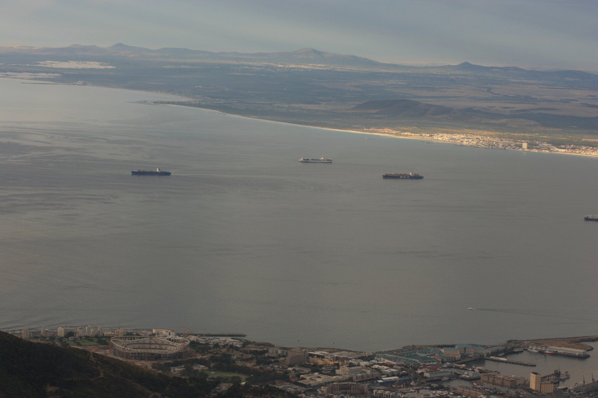
London Heathrow to Cape Town
Day 2 to 20 – in and around Hout Bay, south of Cape Town awaiting arrival of Land Rover. Staying at Makuti Lodge
Day 21 - Sunday 1st March 2009
FIRST DAY OF THE BIG ADVENTURE
Trip miles = 96 miles (154 km) Daily miles = 96 miles (154 km)
Daily Route – From Hout Bay, Cape Town to Langebaan
Camping - Leentjieskli, Langebaan – large open pitches overlooking sea
Cost = R80 per person per night.
Coordinates - S33 03.58 E18.02.29
Altitude = 4 metres
Day 22 – Monday 2nd March 2009
Trip miles = 155 miles (248 km) Daily miles =59 miles (94 km)
Daily Route – Around Langebaan
Camping – As previous night
Day 23 – Tuesday 3rd March 2009
Trip miles = 250 miles (400 km) Daily miles =95 miles (152 km)
Daily Route – Langebaan, Veddrif to Lamberts Bay
Camping – Lamberts Bay Caravan Park. A fairly large site on the top of the beach but hemmed in with security fences – electrics a little suspect.
Cost = R62.50 per person per night.
Coordinates - S23 05.236 E18 18.735
Altitude = 6 metres
Day 24 – Wednesday 4th March 2009
Trip miles = 369 miles (590 km) Daily miles = 119 miles (190 km)
Daily Route – Lamberts Bay, Doring Bay, Strandfontein on up the West Coast Eco-trail.
Camping – West Coast Eco-trail. Wild camping - Brilliant.
Cost = Free
Coordinates - S31 11.624 E17 47.673
Altitude = 1 metre
Day 25 – Thursday 5th March 2009
Trip miles = 518 miles (829 km) Daily miles = 149 miles (238 km)
Daily Route – West Coast Eco-trail to Garies and on to Springbok, Goegap Nature Reserve
Camping – Goegap Nature Reserve, Springbok. Lovely site, no electricity but nice ablution block with hot water. Shelter provided for each pitch.
Cost = R22.50 per person per night
Coordinates - S29 41.095 E17 56.829
Altitude = 828 metres
Day 26 – Friday 6th March 2009
Trip miles = 580 miles (928 km) Daily miles = 62 miles (99 km)
Daily Route – Goegap Nature Reserve and Springbok
Camping – as previous night
Day 27 – Saturday 7th March 2009
Trip miles = 764 miles (1222 km) Daily miles = 184 miles (294 km)
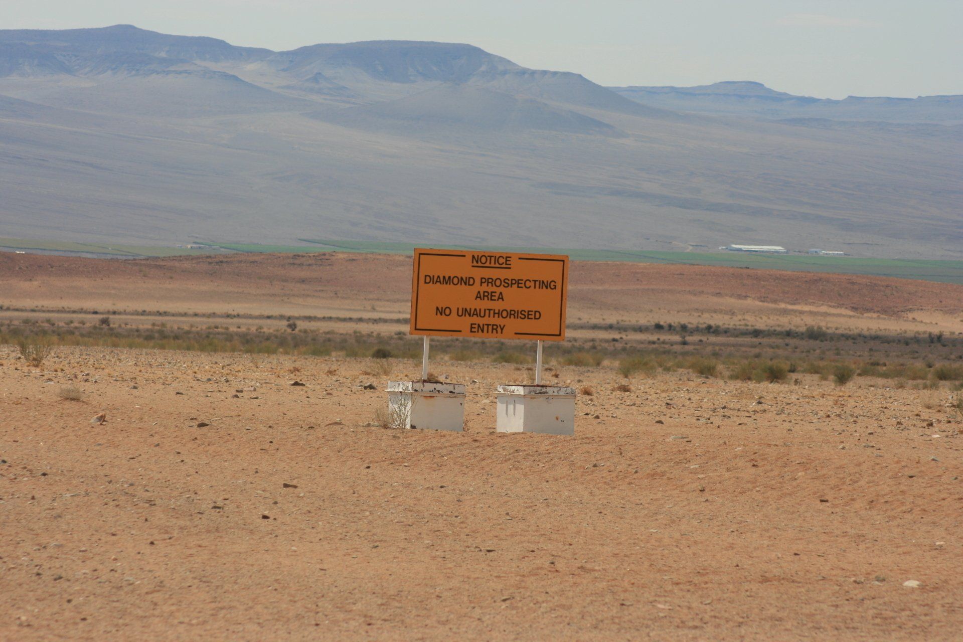
Daily Route – Springbok to Steinkopt, across to Port Nolloth and north to Alexander Bay.
Camping – Beauvallan Farm, Orange River. Nothing wrong with it but didn’t feel quite right.
Cost – R50 per person per night
Coordinates - S28 28.728 E16 41.060
Altitude = 19 metres
Day 28 – Sunday 8th March 2009
Trip miles = 876 miles (1402 km) Daily miles = 112 miles (179 km)
Daily Route – Beauvallan Farm, Orange River to Richtersveld National Park.
Camping – ended up wild camping having paid camp fees but a lovely, albeit barren, isolated spot.
Cost – R65 per person per night
Coordinates - S28 19.003 E17.11.483
Altitude = 345 metres
Day 29 – Monday 9th March 2009
Trip miles = 955 miles (1528 km) Daily miles = 79 miles (126 km)
Daily Route – Around the Richtersveld National Park.
Camping – Potjiespram Camp, Richtersveld National Park. Very pleasant with good ablution blocks, one per two pitches spread along the river front.
Cost – R65 per person per night
Coordinates - S28 04.451 E16 57.831
Altitude = 51 metres
Day 30 – Tuesday 10th March 2009
Trip miles = 1141 miles (1826 km) Daily miles = 186 miles (298 km)
Daily Route –Richtersveld National Park to Eksteenfontein, Steinkopf to Springbok.
Camping – Springbok Caravan Park. Reasonably busy with tourists and workers, ablutions reasonable.
Cost – R55 per person per night
Coordinates - S29 40.349 E17 54.119
Altitude = 879 metres
Day 31 – Wednesday 11th March 2009
Trip miles = 1258 miles (2013 km) Daily miles = 117 miles (187 km)
Daily Route – Springbok to Pofadder.
Camping – Rus-i-beitjie, Pofadder. Adequate but small and in the middle of Pofadder alongside a road, but quiet with no problems.
Cost – R40 per person per night
Coordinates - S29 07.656 E19 23.597
Altitude = 769 metres
Day 32 – Thursday 12th March 2009
Trip miles = 1378 miles (2205 km) Daily miles = 120 miles (192 km)
Daily Route – Pofadder to Augrabies Falls National Park via Onseepkans.
Camping – Augrabies Falls National Park. A large site near to the HQ and Falls with camping and cabins. Popular with visitors. Good facilities.
Cost – R65 per person per night
Coordinates - S28 35.521 E20 20.103
Altitude = 769 metres
Day 33 – Friday 13th March 2009
Trip miles = 1444 miles (2310 km) Daily miles = 66 miles (106 km)
Daily Route – Around the Augrabies Falls National Park.
Camping – as previous night
Day 34 – Saturday 14th March 2009
Trip miles = 1547 miles (2475 km) Daily miles = 103 miles (165 km)
Daily Route – Augrabies Falls National Park to Upington and on to Spitskop Nature Reserve
Camping – Spitskop Nature Reserve. Very pleasant with good ablution blocks and a swimming pool.
Cost – R80 per person per night
Coordinates - S28 22.809 E21 09.387
Altitude = 863 metres
Day 35 – Sunday 15th March 2009
Trip miles = 1746 miles (2794 km) Daily miles = 199 miles (318 km)
Daily Route – Spitskop Nature Reserve to Askham and Kgalagadi Transfrontier Park
Camping – Twee Rivieren, Kgalagadi Transfrontier Park. Quite busy but a good base for the south of the park. Reasonable shop and good ablution facilities.
Cost – R55 per person per night
Coordinates - S26 28.477 E20 36.736
Altitude = 876 metres
Day 36 – Monday 16th March 2009
Trip miles = 1822 miles (2915 km) Daily miles = 76 miles (122 km)
Daily Route – Kgalagadi Transfrontier Park, Twee Rivieren camp to Mata Mata camp.
Camping – Mata Mata, Kgalagadi Transfrontier Park. Quite busy but an open, fenced site with a nearby waterhole and stilted hide. Reasonable shop and good ablution facilities.
Cost – R65 per person per night
Coordinates - S25 45.970 E20 00.019
Altitude = 938 metres
Day 37 –Tuesday 17th March 2009
Trip miles = 1895 miles (3032 km) Daily miles = 73 miles (117 km)
Daily Route – Mata Mata and around.
Camping – as previous night
Day 38 – Wednesday 18th March 2009
Trip miles = 2056 miles (3290 km) Daily miles = 161 miles (258 km)
Daily Route – Mata Mata to Twee Rivieren.
Camping – Twee Rivieren, Kgalagadi Transfrontier Park. Quite busy but a good base for the south of the park. Reasonable shop and good ablution facilities.
Cost – R55 per person per night
Coordinates - S26 28.477 E20 36.736
Altitude = 869 metres
Day 39 - Thursday 19th March 2009
Trip miles =2218 miles (3549 km) Daily miles = 162 miles (259 km)
Daily Route – Kgalagadi Frontier Park, Twee Rivieren to Upington.
Camping – Die Eiland River Resort, Upington. Large municipal site with two swimming pools and good ablutions.
Cost – R60 per person per night
Coordinates - S28 27.574 E21 15.200
Altitude = 809 metres
Day 40 – Friday 20th March 2009
Trip miles = 2218 miles (3459 km) Daily miles = 0 miles (0 km)
Daily Route – Upington.
Camping – as previous night
Day 41 – Saturday 21st March 2009
Trip miles = 2393 miles (3829 km) Daily miles = 175 miles (280 km)
Daily Route – Upington to Van Zylsrus.
Camping – Madala Lodge cabins – not actually a campsite but enquire at the Gemsbok Hotel in Van Zylsrus (Coordinates – S26 52.631 E22 03.147)
Cost – R200 for the two of us – unserviced log cabin.
Coordinates – S26 52.942 E22 04.195
Altitude = 832 metres
Day 42 – Sunday 22nd March 2009
Trip miles to border = 2479 miles (3967 km) Daily miles to border = 86 miles (138 km)
Daily Route – Van Zylsrus to McCarthy’s Border crossing