Africa4x4
African Adventure - Our Trip
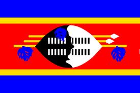
Kingdom of Swaziland
(Kingdom of eSwatini since 2018)
Dates: 23rd September 2009 to 28th September 2009
5 Days
Swaziland miles = 408 miles (653 km)
Trip miles = 17161 miles (27458 km)
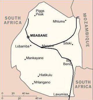
Swaziland Overview (as at 2010)
Swaziland at 17,400 km2 (UK 243,000 km2) is slightly smaller than Wales. It has a population of 1,185,000 (UK 62,000,000) and a population density of per 68.2 km2 (UK 255 per km2).
A landlocked Kingdom bordered by: Mozambique to the east for 105 kms; and South Africa for 430 kms.
Low point = 21 metres at Great Usutu River in the south-eastern corner as it flows to create the South African & Mozambique border: High point = 1,862 metres at Emlembe in the Drakensberg Mountains in the north-western corner.
Capital – Mbabane
Official language
English & siSwati
Entry issues: Passports with 6 months remaining after entry date.
Visas not required by UK Nationals for stays up to 2 months.
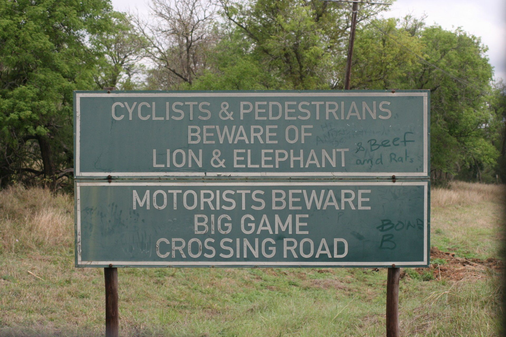
Very relaxed border crossing but does have a meat and fruit control point & further road checks.
Vehicle issues: Carnet de Passage required. Photo driving licence or international licence required. Drive on left. Insurance, third party, included in fuel costs. Fuel tax cost = 50E or 50 Rand.
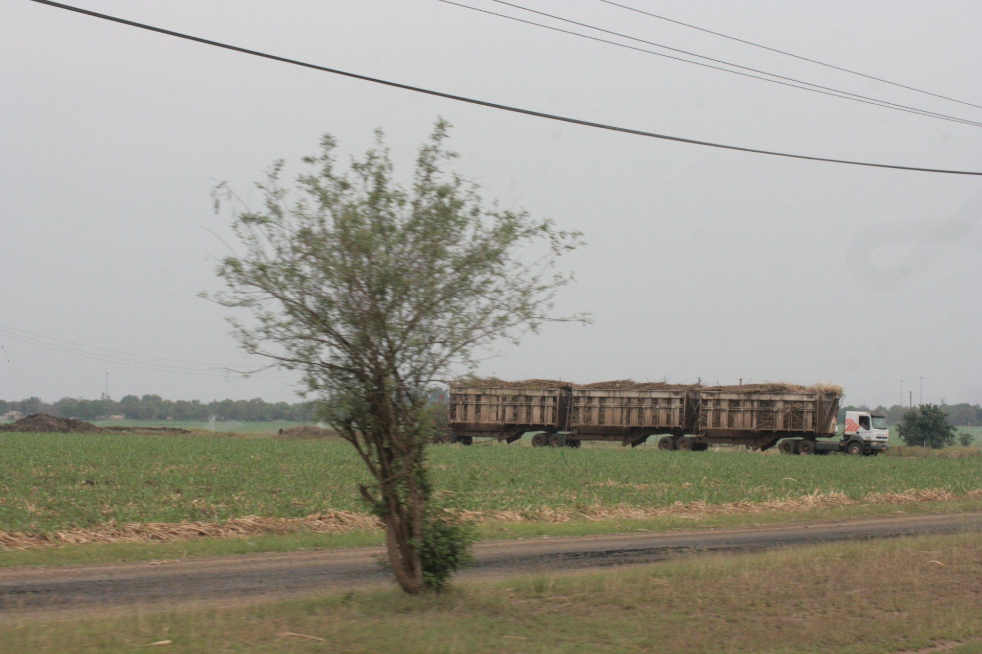
Petrol and Diesel widely available at most towns and large villages. All garages are cash only, all attended and usually with a screen washer – small tip usual. As with all of Africa, will squeeze as much in as possible, usually leading to spills!
Average cost of diesel = £0.52
Banks; ATMs; Credit Cards
ATMs mainly available in the larger towns and although we only made withdrawals on one day one card was rejected. Credit cards accepted in the larger supermarkets in the larger towns but these were very few and very far between.
Telephones: International dialling code +268. Fairly good mobile coverage in towns and along major routes. Only Swaziland MTN available: from shops.
Time (UTC = Coordinated Universal Time, equal to GMT) = UTC+02
Currency & UK£ rate at time of visit
Lilangeni (plural Emalangeni (E)) and RSA Rand
£1 = E13.55: 100 E = £7.00
GARAGES
None required
Route and Camping - Swaziland
Day 227 - Wednesday 23rd September 2009 CONTINUED
Mozambique to Swaziland
Trip miles = 16753 miles (26805 kms) Daily miles = 115 miles (184 kms)
Daily Route – Maputo Special Reserve north to the Catembe ferry and over to Maputo. From Maputo west to the Namaacha/Lomahasha border crossing into Swaziland and down to the Mbuluzi Game Reserve
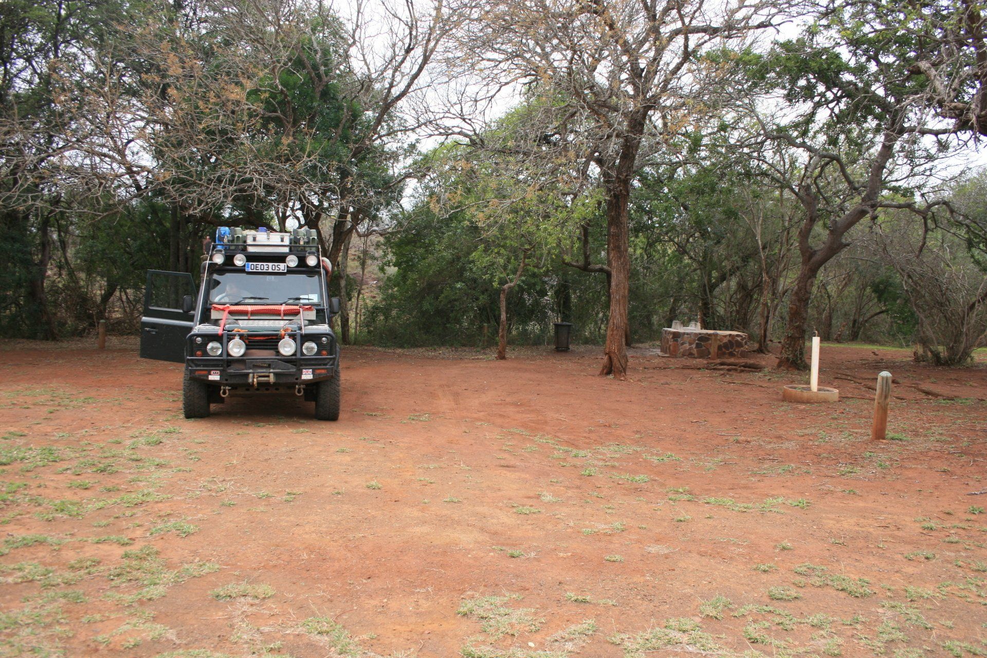
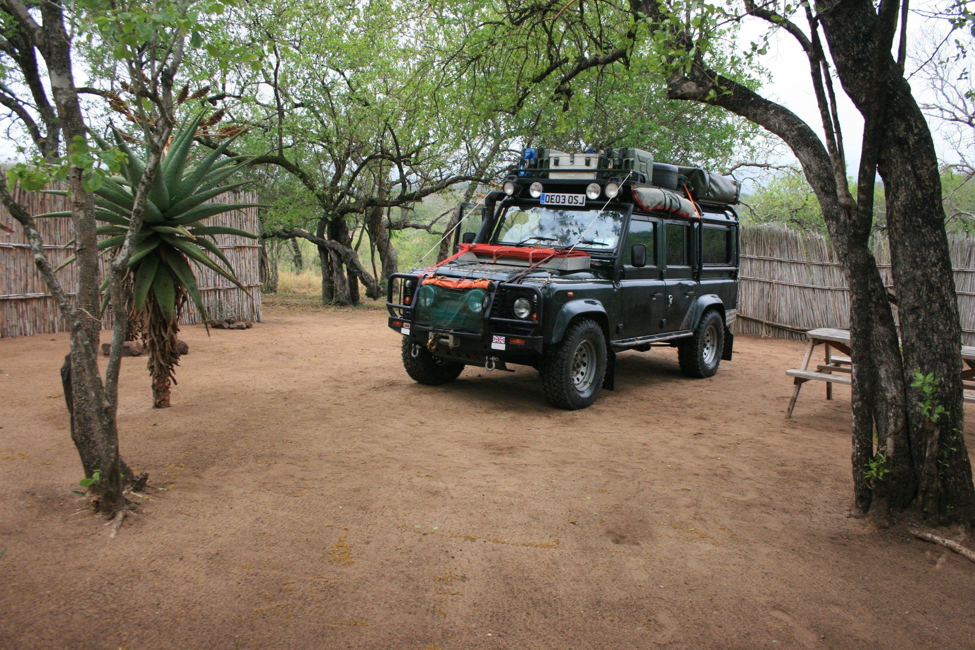
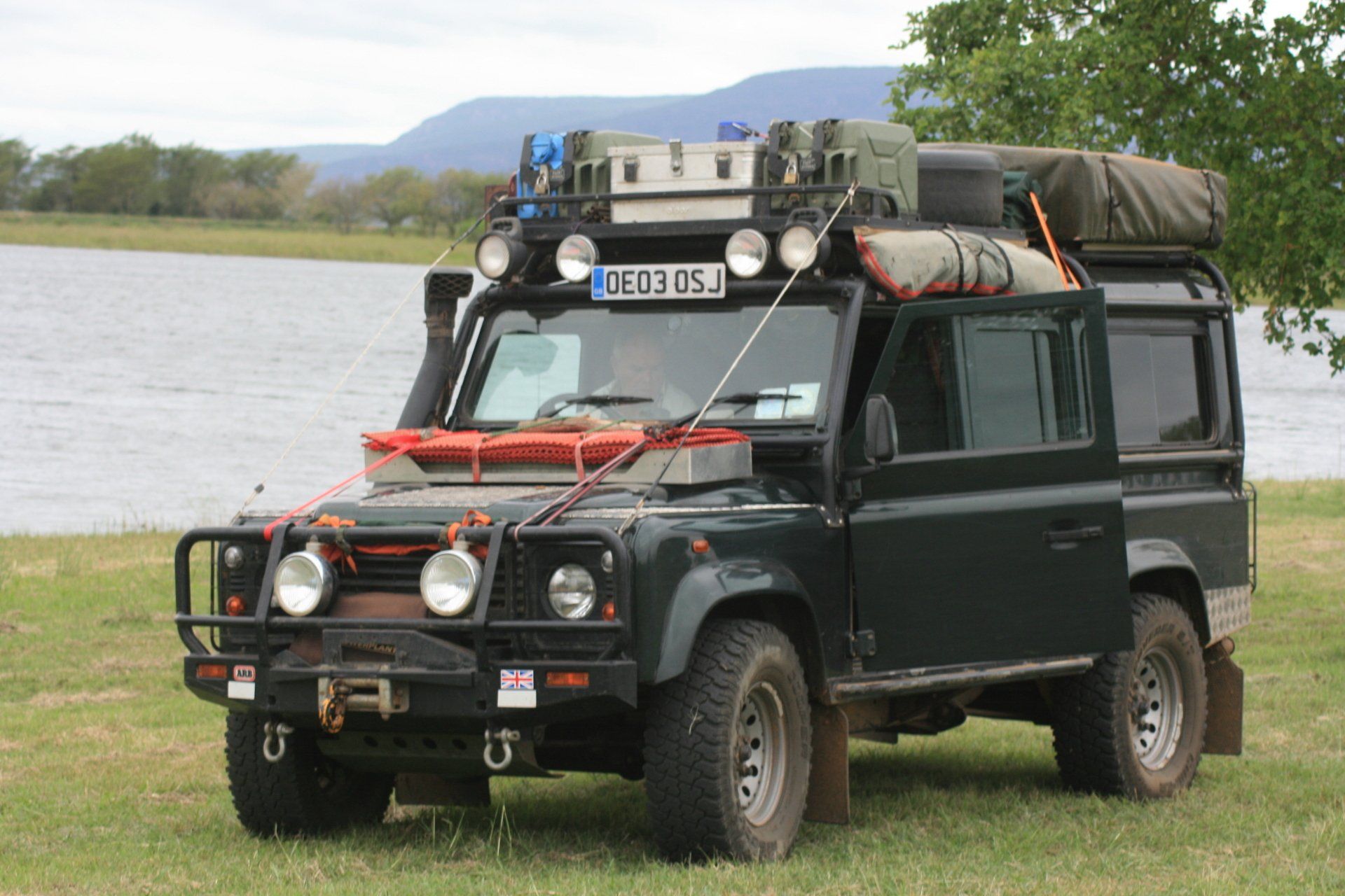
Camping – Mbuluzi Game Reserve Rest Camp. A lovely site inside the reserve, isolated and tranquil with bomas for some of the pitches. Good ablution block with plenty of hot water providing you lit the fire. Firewood provided for each pitch. No electricity.
Tel: 3838861
Cost – 61E per person per night.
Coordinates - S26 08.251 E32 00.487
Altitude = 160 metres
Park fees – included in camp fees and covered the other nearby parks.
Day 228 - Thursday 24th September 2009
Around Simunye
Trip miles = 16813 miles (26901 kms) Daily miles = 60 miles (96 kms)
Daily Route – Mbuluzi Game Reserve to Hlane Royal Park and Simunye Town.
Camping – as previous night.
Day 229 - Friday 25th September 2009
Mbuluzi to Mlilwane Wildlife Sanctuary
Trip miles = 16881 miles (27010 kms) Daily miles = 68 miles (109 kms)
Daily Route – Mbuluzi Game Reserve to Manzuni and on to the Mlilwane Wildlife Sanctuary.
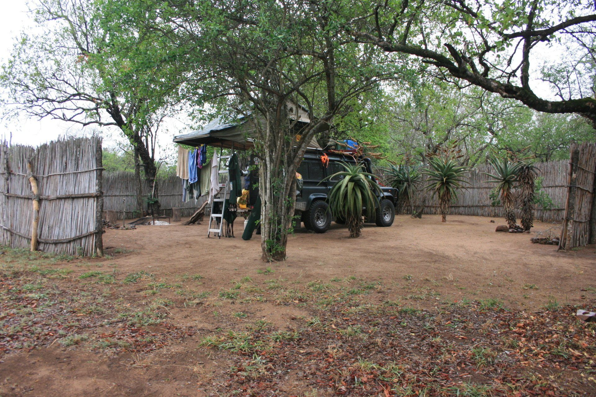
Camping – Beehive Village Camping, Mlilwane Wildlife Sanctuary. A busy site with various accommodation including in the beehive huts. Campsite was a little small for the numbers. Restaurant and shop. Electricity.
Cost – 60E per person per night
Coordinates - S26 29.604 E31 11.100
Altitude = 693 metres
Park fees – free on our Wildcard purchased in South Africa at start of trip.
Day 230 - Saturday 26th September 2009
Trip miles = 16992 miles (27187 kms) Daily miles = 111 miles (178 kms)
Daily Route – Mlilwane Wildlife Sanctuary to Mbabane and north to Malolotja Nature Reserve.
Camping – Malolotja Nature Reserve Camp. An isolated site set away from the few chalets near the main gate. There were a few other campers there including one large group of hikers, the park being a popular hikers location. Ablutions adequate with hot showers. No electricity.
Cost – 70E per person per night
Coordinates - S26 08.628 E31 07.910
Altitude = 1486 metres
Park fees – 28E per person per day.
Day 231 - Sunday 27th September 2009
Trip miles = 17113 miles (27381 kms) Daily miles = 121 miles (194 kms)
Daily Route – Malolotja Nature Reserve to Big Bend.
Camping – Ubombo Yacht Club, Big Bend. A nice site but difficult to get into. Turn off main road at S26 46.896 E31 56.274. At gate there is a requirement to be signed in by a member which might not be easy mid-week; we couldn’t find any other campsites in the area. Once in, we camped lakeside. Quiet after the weekenders went home. Ablutions were fine with hot showers. No electricity.
Cost – 25E per person per night
Coordinates - S26 46.775 E31 55.087
Altitude = 136 metres
Day 232 - Monday 28th September 2009
Swaziland to South Africa
Trip miles to border = 17161 miles (27458 kms) Daily miles to border = 48 miles (77 kms)
Daily Route – Big Bend to Lavumisa Border Crossing into South Africa.