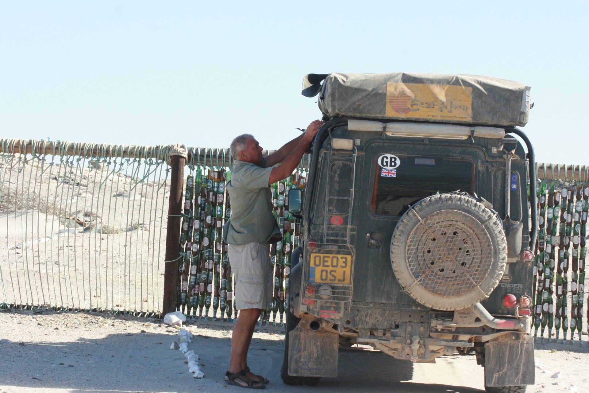
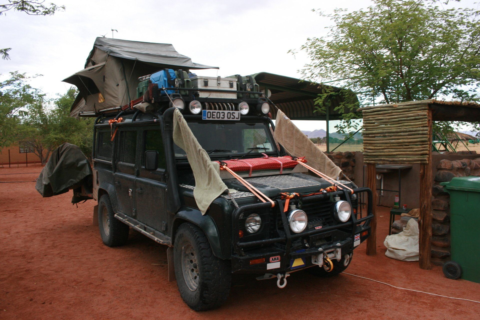
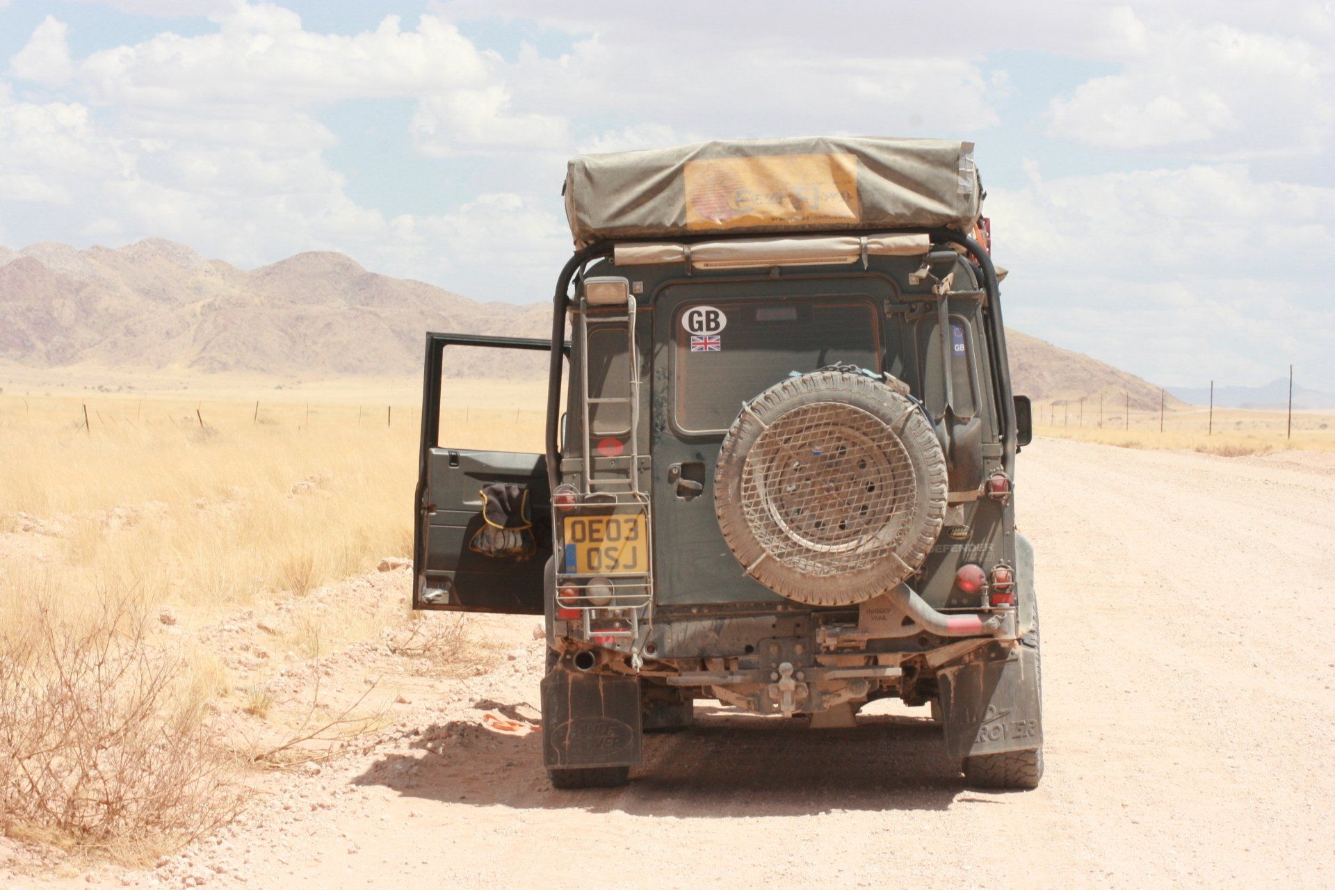
Africa4x4
African Adventure - Our Trip
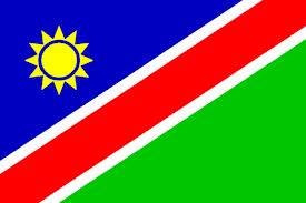
Republic of Namibia
Dates: 15th December 2009 to 11th January 2010
27 Days
Namibia miles = 3594 miles (5750 km)
Trip miles = 29555 miles (47288 km)
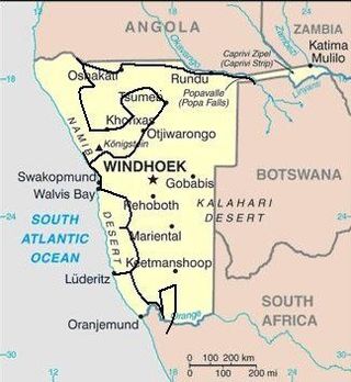
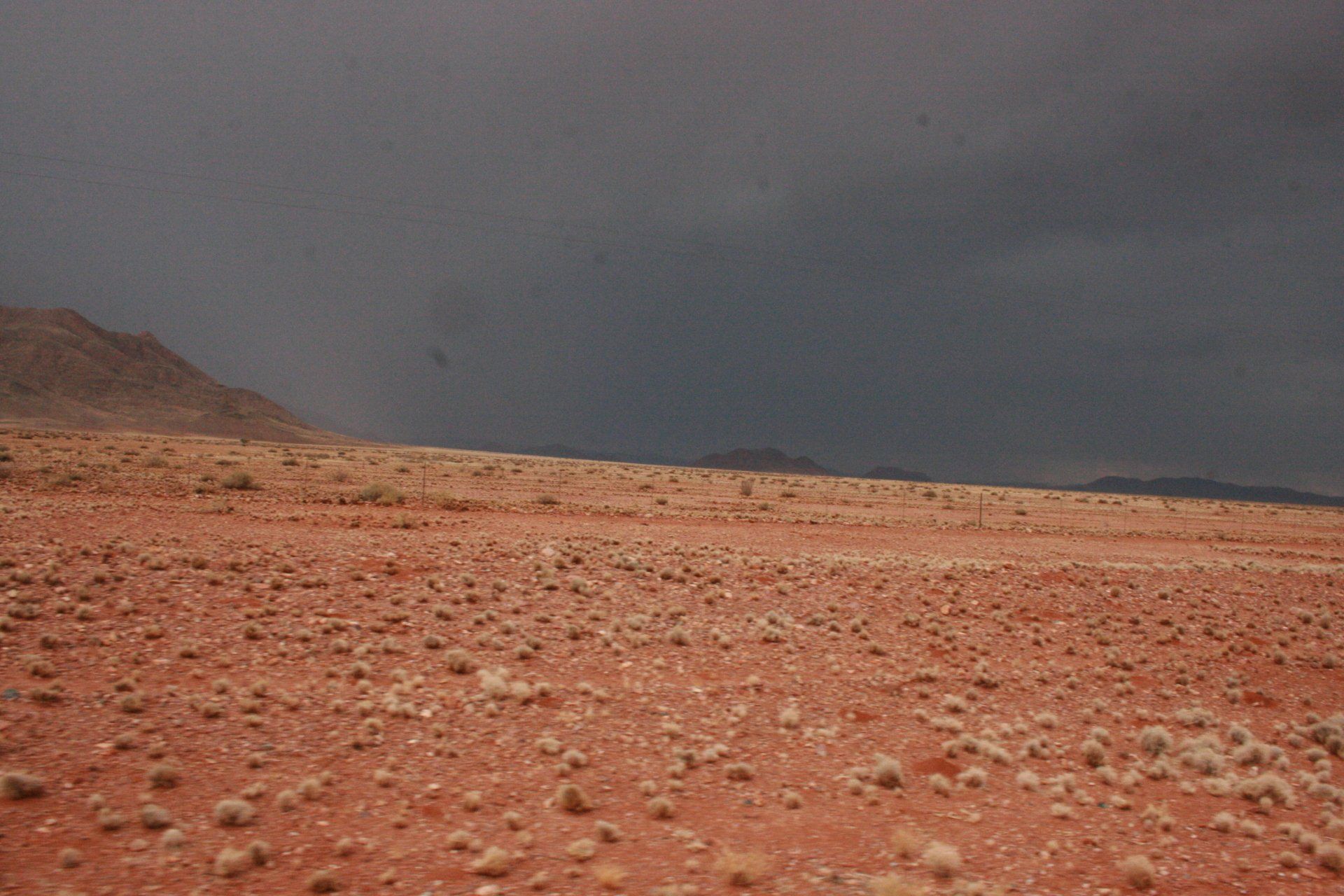
Namibia Overview (as at 2010)
Namibia at 825,000 km2 (UK 243,000 km2) is the same as Spain and Germany together. It has a population of 2,170,000 (UK 62,000,000) and a population density of 2.6 per km2 (UK 255 per km2), one of the lowest in the world.
Bordered by: Angola for 1376 kms; Zambia for 233 kms; Botswana for 1360 kms; South Africa for 855 kms and Zimbabwe for a few metres. Namibia has a 1572 kms Atlantic coastline. Formerly South-West Africa.
Low point = Sea level: High point = 2573 metres at Königstein in the Brandberg Mountains in the north-west of the country.
Capital - Windhoek
Official Language
English with Afrikaans, German & several other tongues also spoken
Entry issues: Passports with 6 months remaining after departure. Visas not required by UK Nationals for stays up to 3 months. Very relaxed border crossings; allegedly wood and charcoal cannot be imported.
Vehicle issues: Carnet de Passage required. Photo driving licence or international licence required.
Drive on left. Insurance, third party, included in fuel costs. Road Fund Licence = N$180
Checks - Police checks were numerous in the north of the country near the Angolan border but away from here, infrequent.
Petrol and Diesel available at most towns but towns are very few and very far between. All garages are cash only, all attended and usually with a screen washer – small tip usual. As with all of Africa, will squeeze as much in as possible, usually leading to spills!
Average cost of diesel = £0.54
Banks; ATMs; Credit Cards
ATMs mainly available in the larger towns and generally reliable although defied logic – had to call the card a saving account rather than a credit card to work. Credit cards accepted in the larger supermarkets in the larger towns but these too were very few and very far between.
Telephones: International dialling code +264. Sparse mobile coverage mainly in towns and along some major routes. MTC available in shops.
Time (UTC = Coordinated Universal Time, equal to GMT) = UTC+0 (Check current situation regarding clock changes)
GARAGES
No garage calls although camp mechanics were used at Halali, Etosha and Solitaire Lodge.
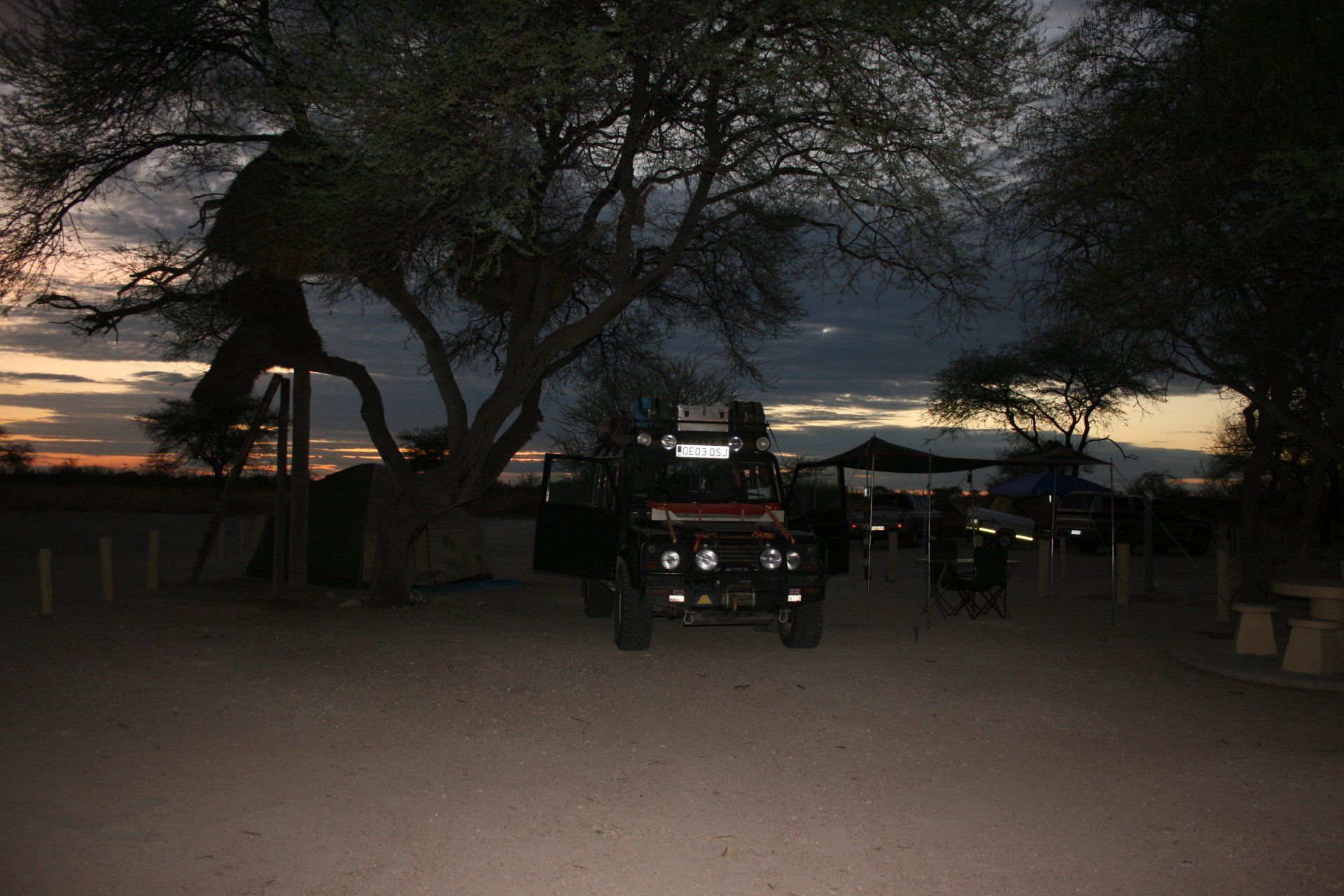
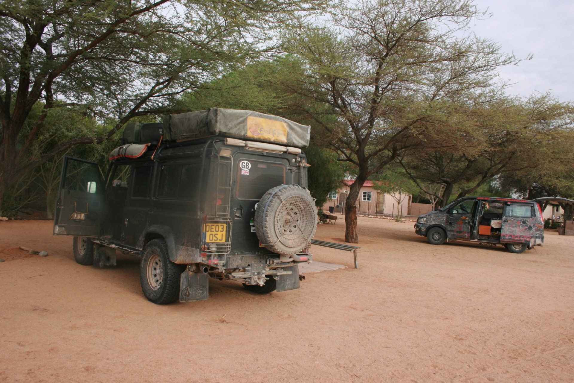
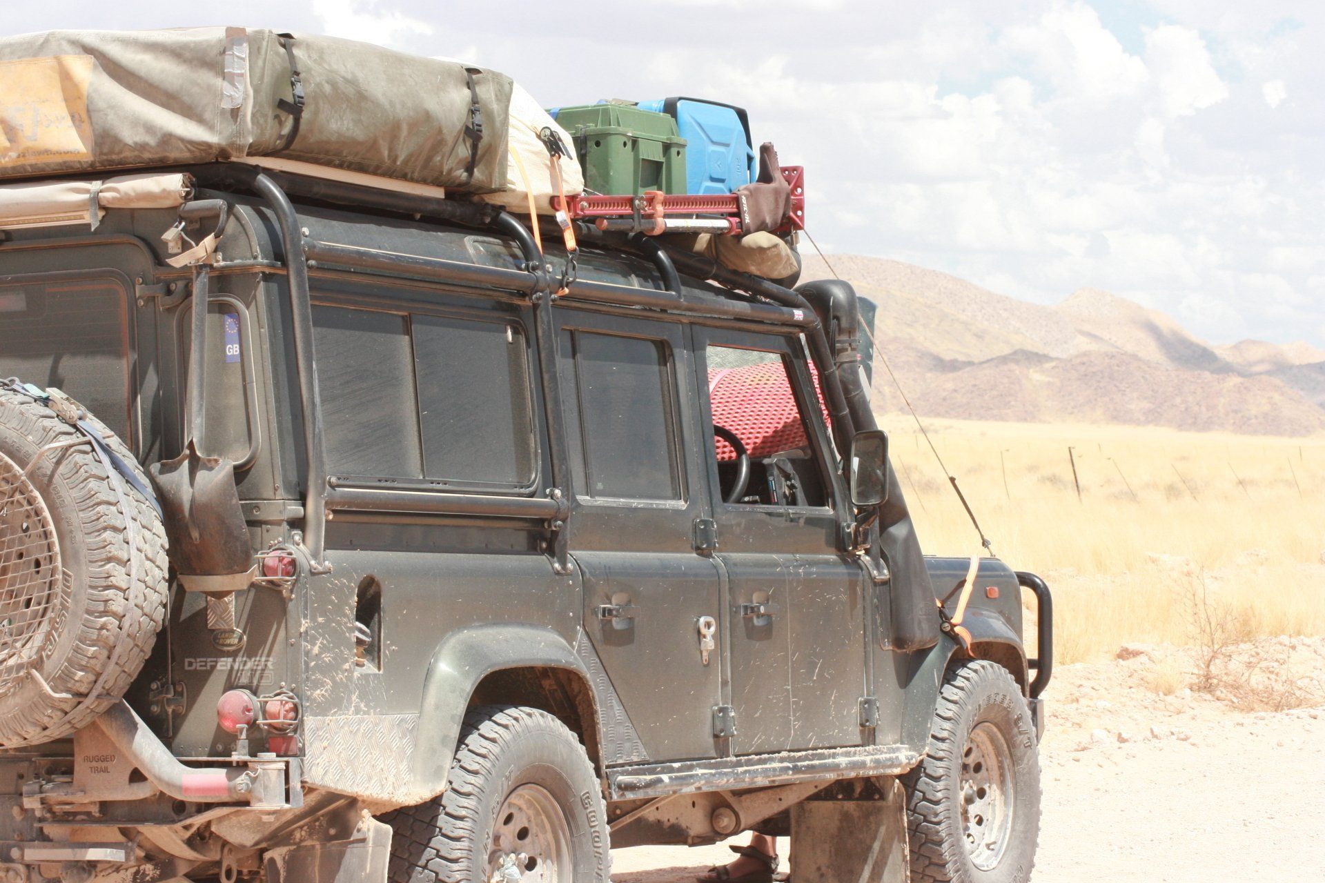
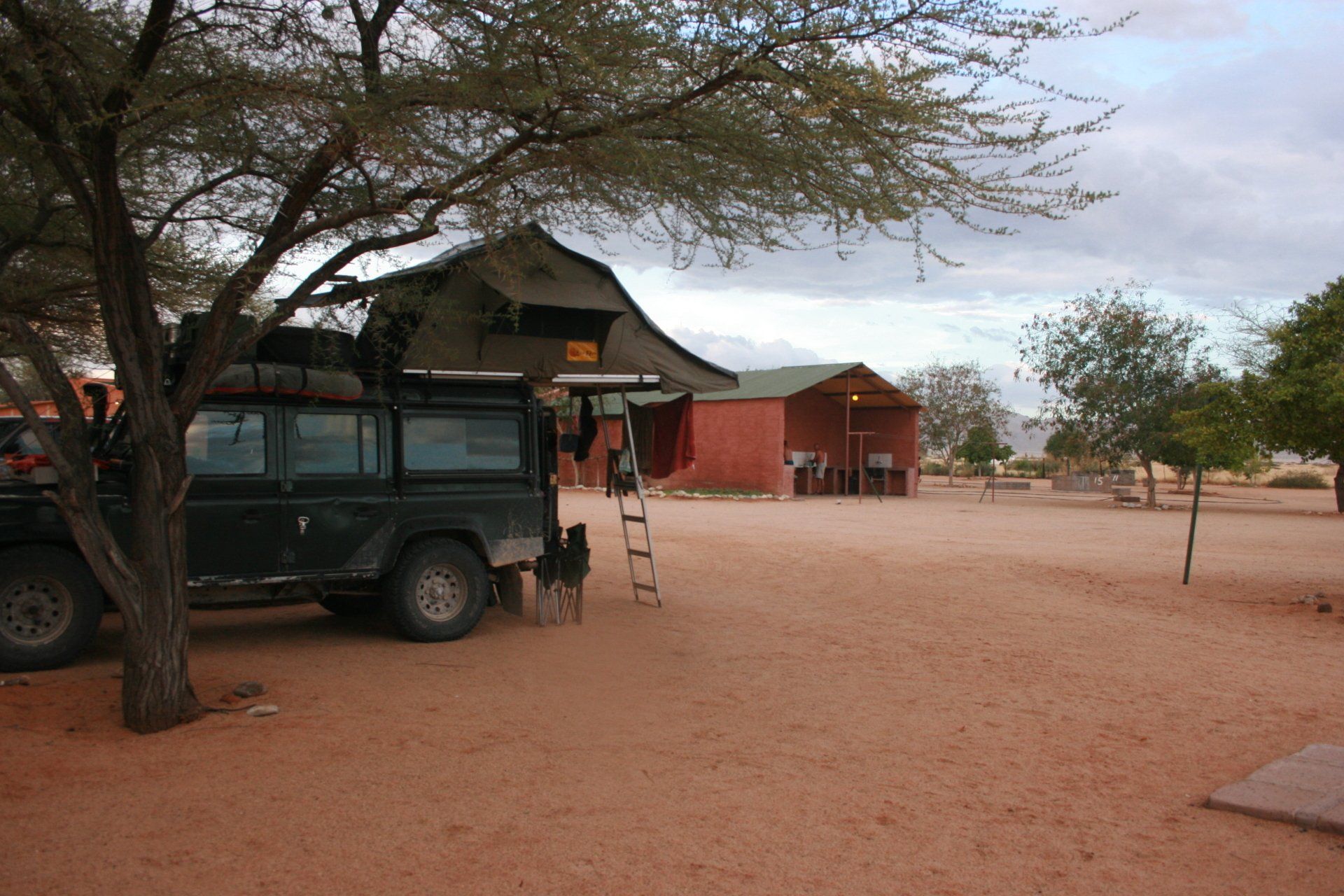
Route & Camping - Namibia
Day 310 - Tuesday 15th December 2009 - CONTINUED
Botswana to Namibia
Trip miles = 25961 miles (41538 kms) Daily miles from border = 36 miles (57 kms)
Daily Route – Drotsky’s Cabins to Momemba border crossing into Namibia to Popa Falls Camping.
Camping – Popa Falls Camping just north of Mahango National Park. A very reasonable site, apart from the cost, alongside the Okavango River and Popa Falls. Good ablution blocks with hot water. Electricity. Popular as a stopover to and from Namibia.
Cost = N$50 per person per night. The books say that our Mahango Park fees should have covered us but that’s changed and we had to pay an additional N$50 per person park fees and N$20 for the vehicle just to get into the campsite – a bit of a rip off.
Coordinates - S18 07.322 E21 34.981
Altitude = 1080 metres
Park fees for Mahango National Park = N$45 per person per day.
Day 311 - Wednesday 16th December 2009
Popa Falls to Dkonko
Trip miles = 26239 miles (41982 kms) Daily miles = 278 miles (445 kms)
Daily Route – Popa Falls to Rundu and to Dkonko.
Camping – Kavango Community Campsite, Dkonko in an area called Stakforest, some 240kms west of Rundu but quite a way north of main road near the Angolan border. Not a bad site but when we were there several other workers were as well putting pressure on the single toilet and shower.
Cost = N$40 per person per night.
Coordinates - S17 32.398 E17 43.326
Altitude = 1115 metres
Day 312 - Thursday 17th December 2009
Trip miles = 26516 miles (42426 kms) Daily miles = 277 miles (443 kms)
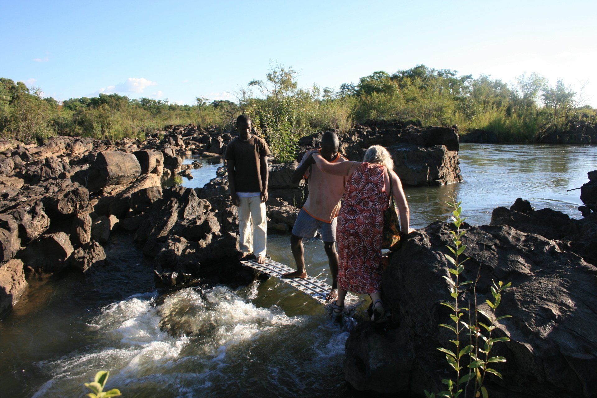
Daily Route – Dkonko to Ruacana.
Camping – Ruacana Falls Hippo Pool Camp, Ruacana. A nice site next to the hippo pools on the Kunene River. Good ablution block. No electricity.
Cost = N$50 per person per night.
Coordinates - S17 24.419 E14 13.037
Altitude = 775 metres
Day 313 - Friday 18th December 2009
Trip miles = 26516 miles (42426 kms) Daily miles = 0 miles (0 kms)
Daily Route – In and around Ruacana Falls.
Camping – as previous night.
Day 314 - Saturday 19th December 2009
Trip miles = 26626 miles (42602 kms) Daily miles = 110 miles (176 kms)
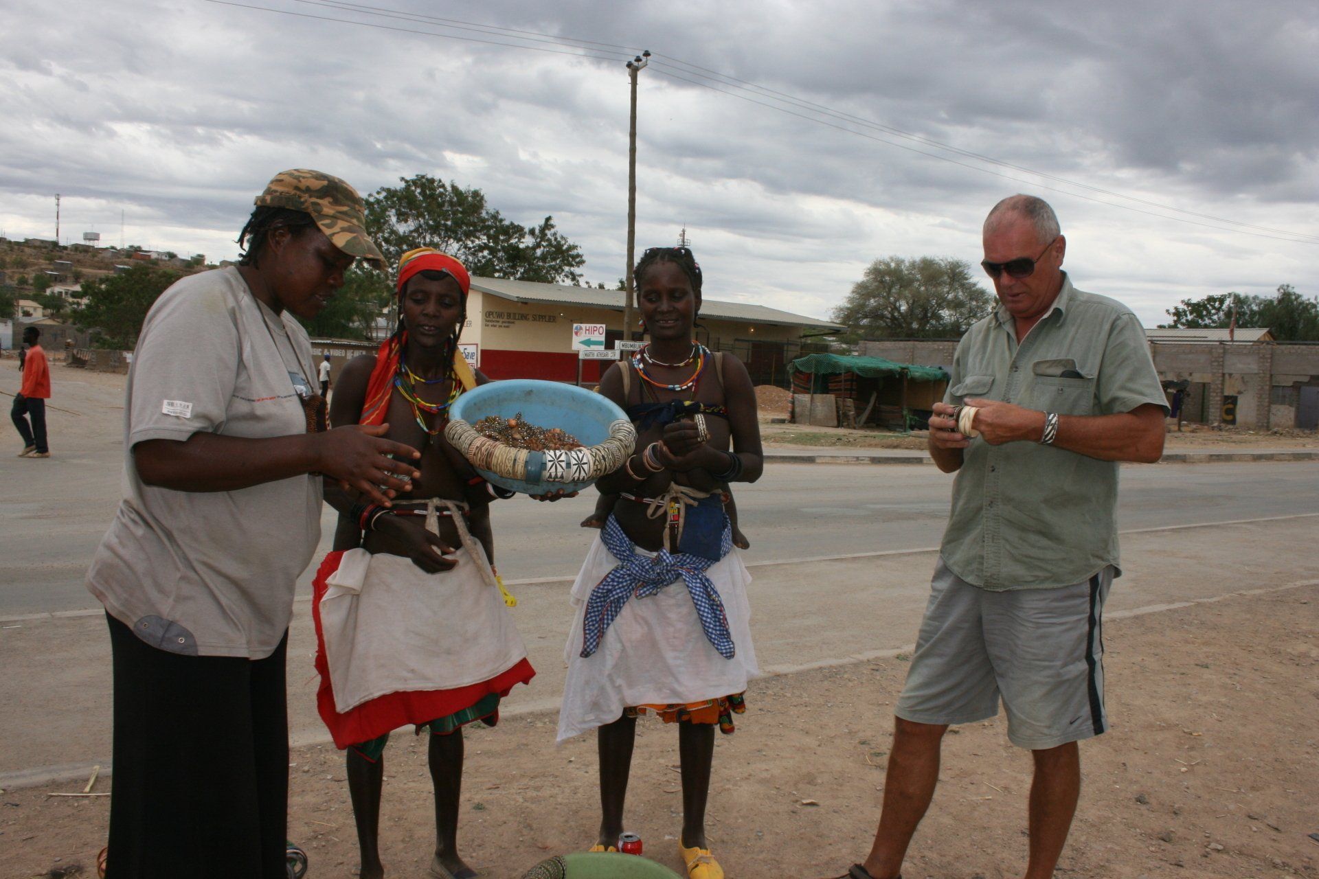
Daily Route – Ruacana Falls to Opuwo.
Camping – Oreness Campsite, Opuwo. A reasonable campsite in the middle of town that served the purpose. Quieter than we thought. Reasonable ablution block. Electricity of sorts. Small bar and restaurant.
Cost = N$65 per person per night
Coordinates - S18 03.610 E13 50.548
Altitude = 1154 metres
Day 315 - Sunday 20th December 2009
Trip miles = 26772 miles (42835 kms) Daily miles = 146 miles (234 kms)
Daily Route – Opuwo to Palmwag Lodge.
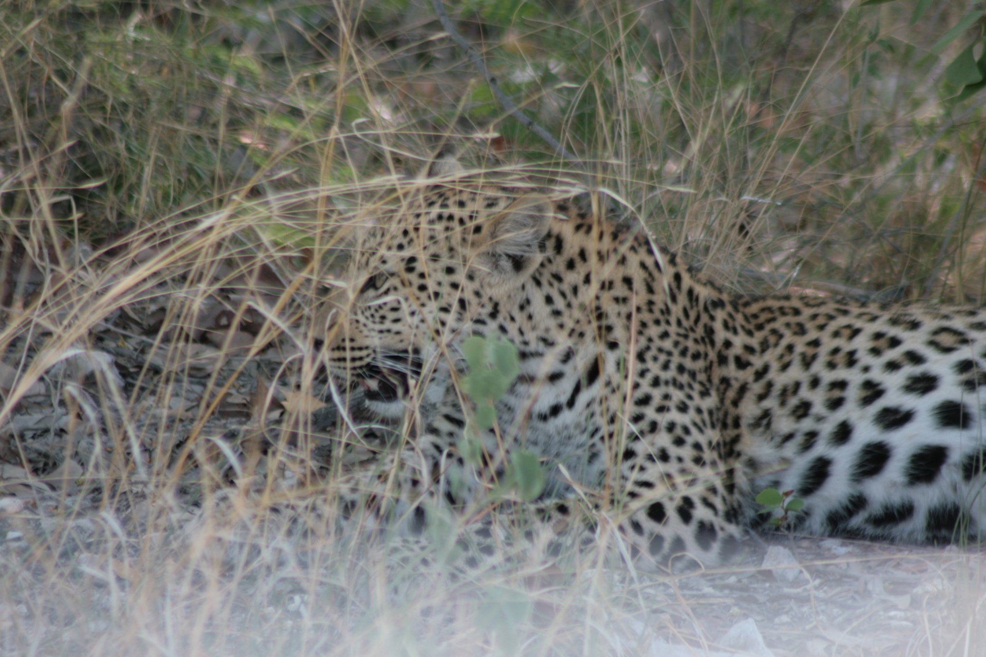
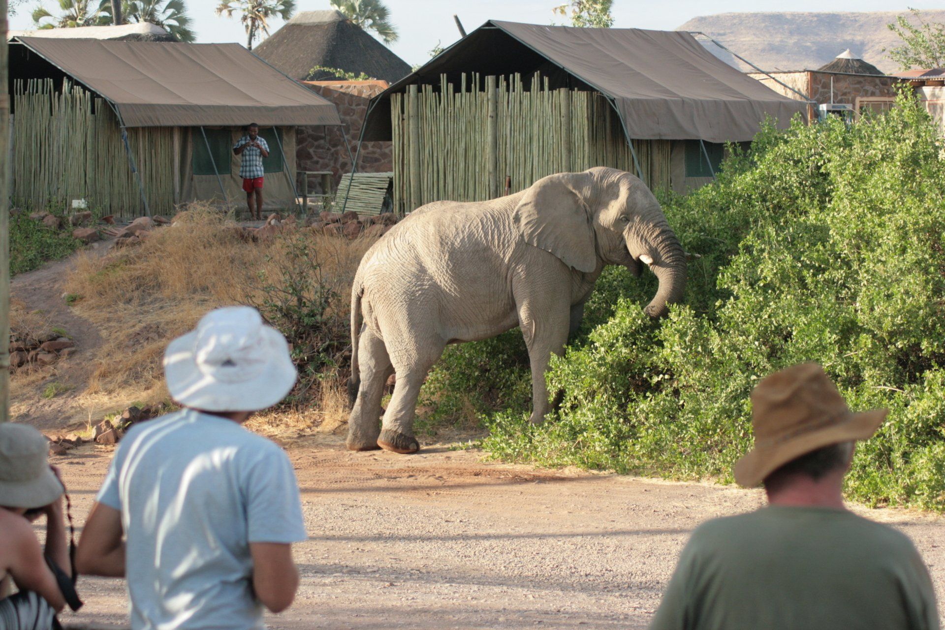
Camping – Palmwag Lodge, north of Palmwag. A nicely situated site next to a usually dry river with waterhole. Wild animals walking freely through site including a huge bull elephant that found the bush right next to us very tasty. A very popular site so best to pre-book if possible. Our pitch, No. 4, was fairly small but had its own shelter and water. Good ablution block. Electricity. Very nice bar and restaurant overlooking waterhole, serving good food. Small pool.
Cost = N$95 per person per night
Coordinates - S19 53.228 E13 56.239
Altitude = 896 metres
Day 316 - Monday 21st December 2009
Trip miles = 26772 miles (42835 kms) Daily miles = 0 miles (0 kms)
Daily Route – In Palmwag Lodge.
Camping – as previous night but moved to over-flow pitch that was actually bigger but with same facilities but not overlooking the dry river.
Day 317 - Tuesday 22nd December 2009
Trip miles = 26958 miles (43133 kms) Daily miles = 186 miles (298 kms)
Daily Route – Palmwag to Khorixas and on to Outjo.
Camping – Ombinda Country Lodge, Outjo. A reasonable site handy for Etosha. Bar and restaurant with pool. Electricity.
Cost = N$60 per person per day.
Coordinates - S20 07.194 E16 09.484
Altitude = 1251 metres
Day 318 - Wednesday 23rd December 2009
Trip miles = 27075 miles (43320 kms) Daily miles = 117 miles (187 kms)
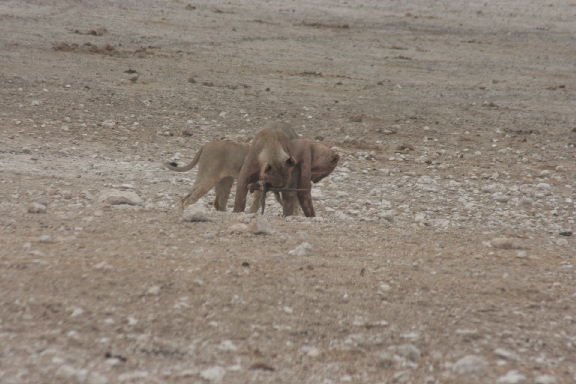
Daily Route – Outjo to Etosha.
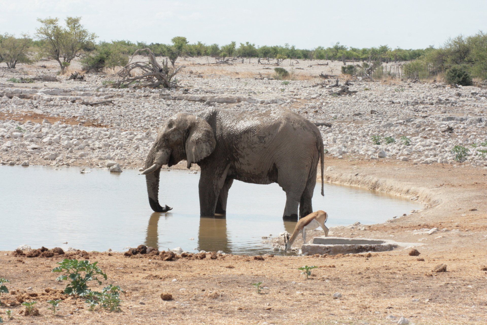
Camping – Okaukuejo Camp, Etosha. One of three public camps in the park. A very popular site with many tourists in the chalets and camping, particularly as it was Christmas. Best to pre-book all camps. Brilliant location with the large floodlight waterhole. Shops, garage, bar and restaurant. Two swimming pools. Electricity.
Cost = N$200 per person per night. We pre-paid ours.
Coordinates - S19 10.877 E15 55.057
Altitude = 1109 metres
Park fees = N$85 per person per day. Payable at Camp.
Day 319 - Thursday 24th December 2009
Trip miles = 27168 miles (43469 kms) Daily miles = 93 miles (149 kms)
Daily Route – In and around Okaukuejo.
Camping – as previous night.
Day 320 - Friday 25th December 2009
Trip miles = 27249 miles (43598 kms) Daily miles = 81 miles (130 kms)
Daily Route – In and around Okaukuejo.
Camping – as previous night.
Gemsbok for Christmas dinner in restaurant!
Day 321 - Saturday 26th December 2009
Trip miles = 27337 miles (43739 kms) Daily miles = 88 miles (141 kms)
Daily Route – In and around Okaukuejo.
Camping – as previous night.
Day 322 - Sunday 27th December 2009
Trip miles = 27387 miles (43819 kms) Daily miles = 50 miles (80 kms)
Daily Route – Okaukuejo Camp to Halali Camp.
Camping – Halali Camp, Etosha. One of three public camps in the park. A quieter site than Okaukuejo. A pleasant location with floodlight waterhole but not many animals. Shops, garage, bar and restaurant. Swimming pool. Electricity.
Cost = as previous night
Coordinates - S19 02.236 E16 28.167
Altitude = 1110 metres
Day 323 - Monday 28th December 2009
Trip miles = 27506 miles (44010 kms) Daily miles = 119 miles (190 kms)
Daily Route – In and around Halali Camp.
Camping – as previous night
Day 324 - Tuesday 29th December 2009
Trip miles = 27557 miles (44091 kms) Daily miles = 51 miles (82 kms)
Daily Route – In and around Halali Camp.
Camping – as previous night
Day 325 - Wednesday 30th December 2009
Trip miles = 27625 miles (44200 kms) Daily miles = 68 miles (109 kms)
Daily Route – Halali Camp to Namutoni Camp.
Camping – Namutoni Fort, Etosha. One of three public camps in the park. A quieter site than Okaukuejo. A pleasant location with the floodlight waterhole but not many animals. Shops, garage, bar and restaurant. Swimming pool. Electricity.
Cost = as previous night
Coordinates - S18 48.295 E16 56.548
Altitude =1097 metres
Day 326 - Thursday 31st December 2009
Trip miles = 27712 miles (44339 kms) Daily miles = 87 miles (139 kms)
Daily Route – In and around Namutoni Camp.
Camping – as previous night.
Day 327 Friday 1st January 2010
Trip miles = 27768 miles (44429 kms) Daily miles =56 miles (90 kms)
Daily Route – in and around Namutoni, Etosha
Camping – as previous night
Night Game Drive = N$600 per person
Day 328 - Saturday 2nd January 2010
Trip miles = 28040 miles (44864 kms) Daily miles =272 miles (435 kms)
Daily Route –Namutoni, Etosha to Tsumeb and on to Omaruru
Camping – Omaruru Rest Camp. A quiet site, traveller-wise, with a pool and restaurant with reasonable food. A bit noisy in the morning with the local, foreign, birdlife.
Cost N$60 per person per night. Electricity.
S2124.765 E15 57.904
Altitude = 1229 metres
Day 329 - Sunday 3rd January 2010
Trip miles = 28159 miles (45054 kms) Daily miles = 119 miles (190 kms)
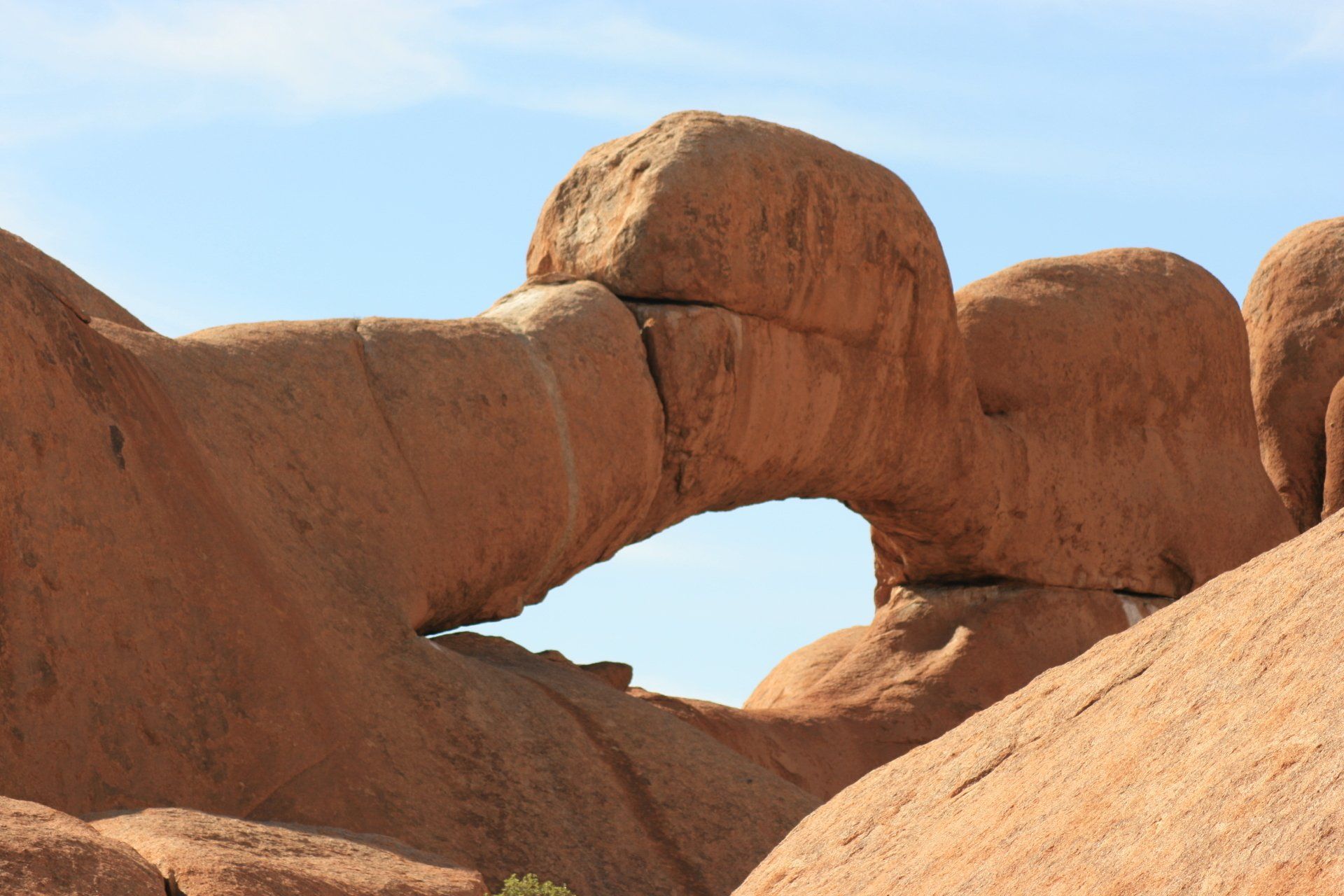
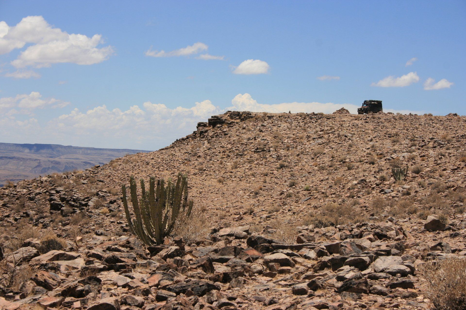
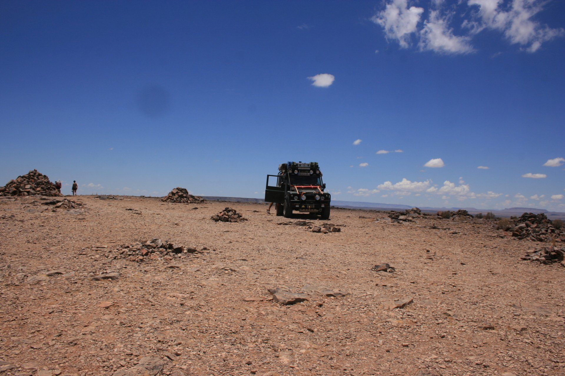
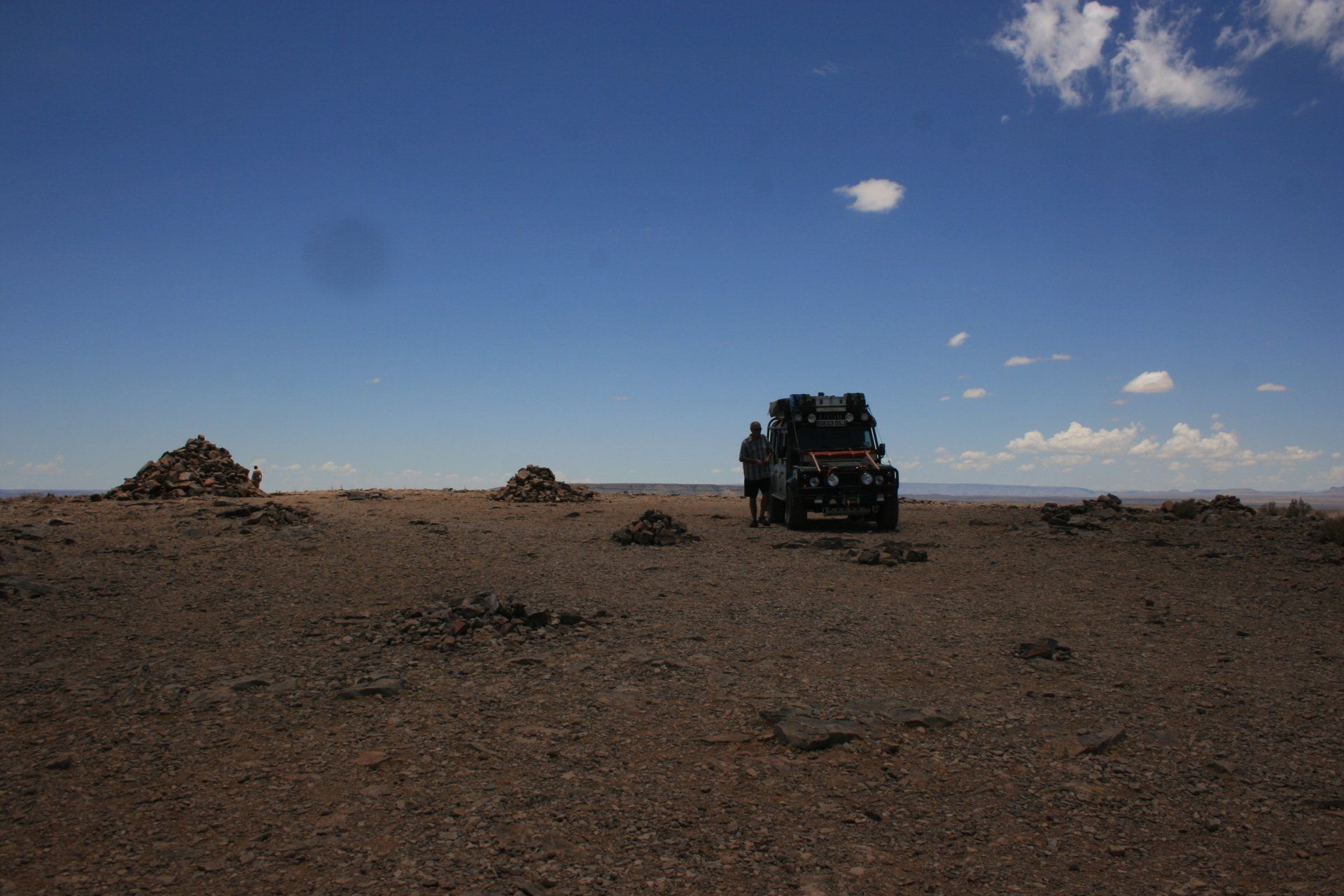
Daily Route – Omaruru to Gross Spitzkoppe
Camping – Gross Spitzkoppe Community Camp. Individual pitches set among giant boulders some of which were very secluded. No facilities. No electricity.
Cost = N$45 per person per night.
Coordinates - S21 50.076 E15 10.297
Altitude = 1100 metres
Park fees – N$10 for vehicle
Day 330 - Monday 4th January 2010
Trip miles = 28361 miles (45378 kms) Daily miles = 202 miles (323 kms)
Daily Route – Gross Spitzkoppe to Henties Bay, north to Cape Cross then south to Swakopmund
Camping – Alte Brucke, Swakopmund. Individual pitches with own ablution block. Restaurant and shop on site.
Very expensive at N$500 (£35) for the pitch that would take 6 persons but with just the 2 of us, not cheap at all. Restaurant and bar + pool. Electricity.
Coordinates - S22 41.176 E14 31.581
Altitude = 10 metres
Park fees – N$45 per person for Seal Colony
Day 331 - Tuesday 5th January 2010
Trip miles = 28426 miles (45482 kms) Daily miles = 65 miles (104 kms)
Daily Route – Swakopmund to Walvis Bay
Camping – Lagoon Bungalows, Walvis Bay. Fairly small pitches but sheltered. Nice ablution blocks with a bath in ladies. Electricity.
Cost N$100 per person per night.
Coordinates - S22 58.818 E14 29.204
Altitude = 11 metres
Day 332 - Wednesday 6th January 2010
Trip miles = 28593 miles (45749 kms) Daily miles = 167 miles (267 kms)
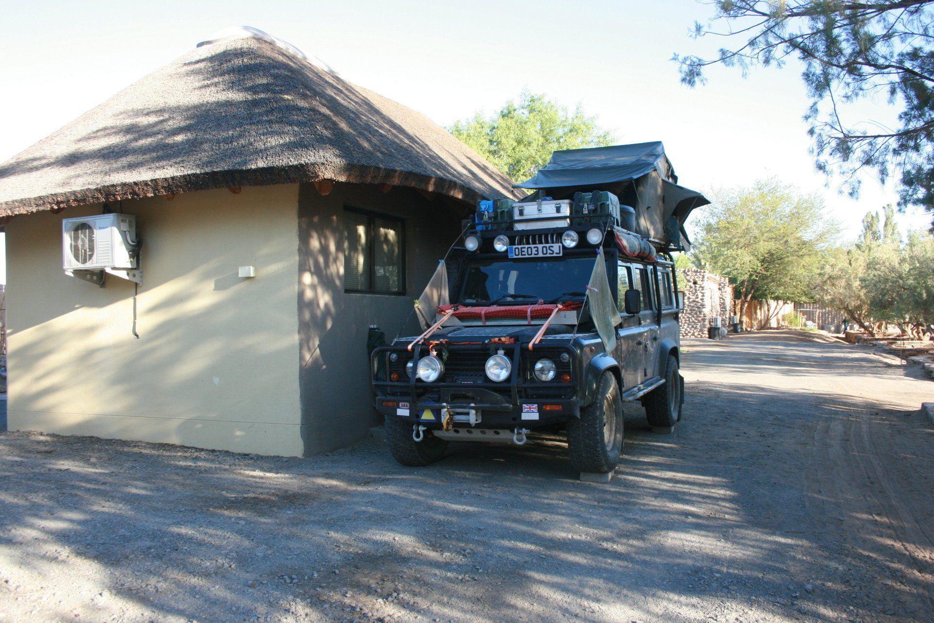
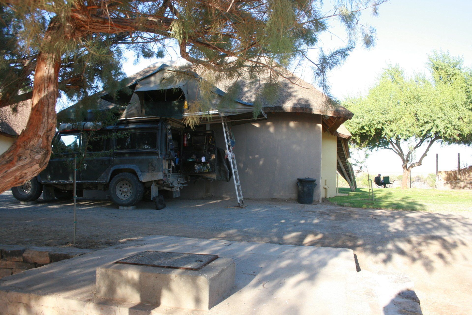
Daily Route – Walvis Bay to Solitaire.
Camping – Solitaire Country Club, Solitaire. A very reasonable site with shop, garage and restaurant. Nice ablution block. Electricity.
Cost N$60 per person per night.
Coordinates - S23 53.704 E16 00.319
Altitude = 1080 metres
Day 333 - Thursday 7th January 2010
Trip miles = 28818 miles (46109 kms) Daily miles = 225 miles (360 kms)
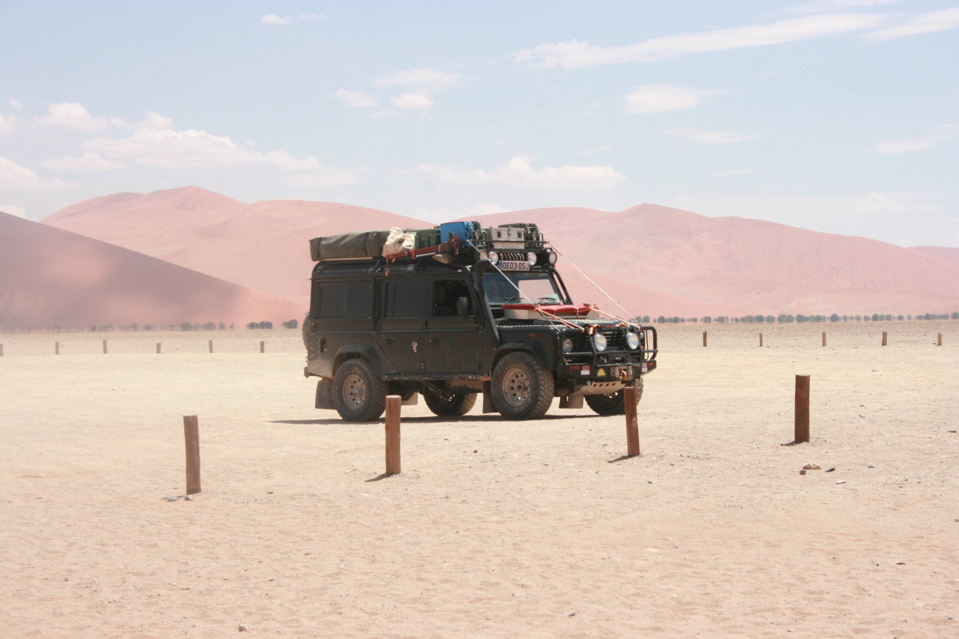
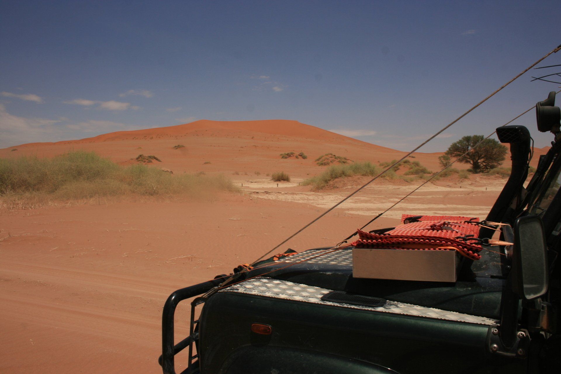
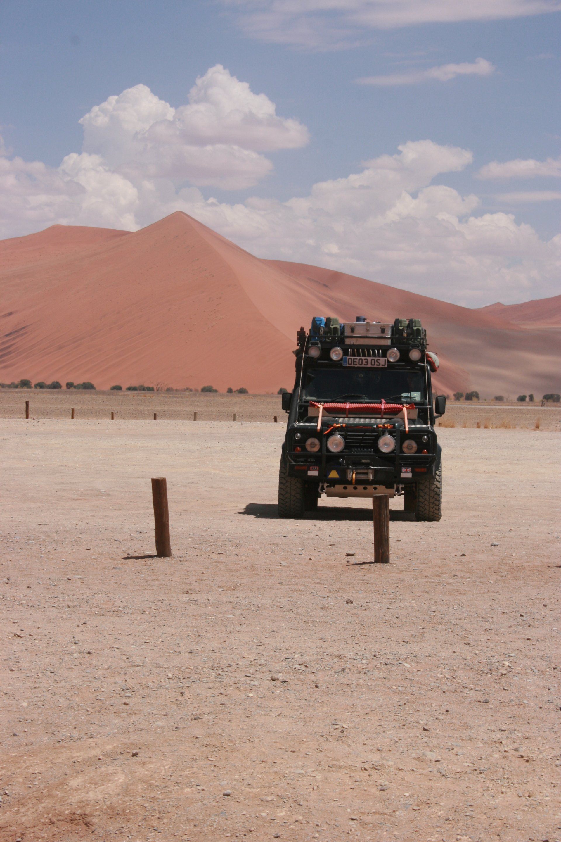
Daily Route – Solitaire to Sesriem and Sossusvlei dunes down to Betta Camp on the junction of the C27 and the D826.
Camping – Betta Camp. A very reasonable site with a small shop and garage next door. Nice ablution block. Some pitches have their own shelter and braai area. Electricity.
Cost N$70 per person per night + N$60 per vehicle.
Coordinates - S25 22.983 E16 25.407
Altitude = 1226 metres
Day 334 - Friday 8th January 2010
Trip miles = 29054 miles (46486 kms) Daily miles = 236 miles (378 kms)
Daily Route – Betta Camp to Aus and on to Luderitz.
Camping – Backpackers, Luderitz. Third choice due to the wind. Shark Island or Dias Cross Camp would be fine if it were calm - but it rarely is! Just about squeezed in two vehicles in the courtyard. Did bunks but … Communal kitchen. Electricity in kitchen.
Cost N$60 per person per night
Coordinates - S26 38.848 E15 09.310
Altitude = 20 metres
Day 335 - Saturday 9th January 2010
Trip miles = 29302 miles (46883 kms) Daily miles = 248 miles (397 kms)
Daily Route – Luderitz back to Aus then south to Rosh Pinah and then tracking along the Orange River to Aussenkehr.
Camping – Norotshama River Resort, Aussenkehr on the banks of the Orange River. Large camping area and chalets but empty. Bar and restaurant and pool. Electricity.
Cost N$120 per person per night + N$20 per person ‘park’ fees
Coordinates - S28 23.713 E17 24.626
Altitude = 114 metres
Day 336 - Sunday 10th January 2010
Trip miles = 29466 miles (47146 kms) Daily miles = 164 miles (262 kms)
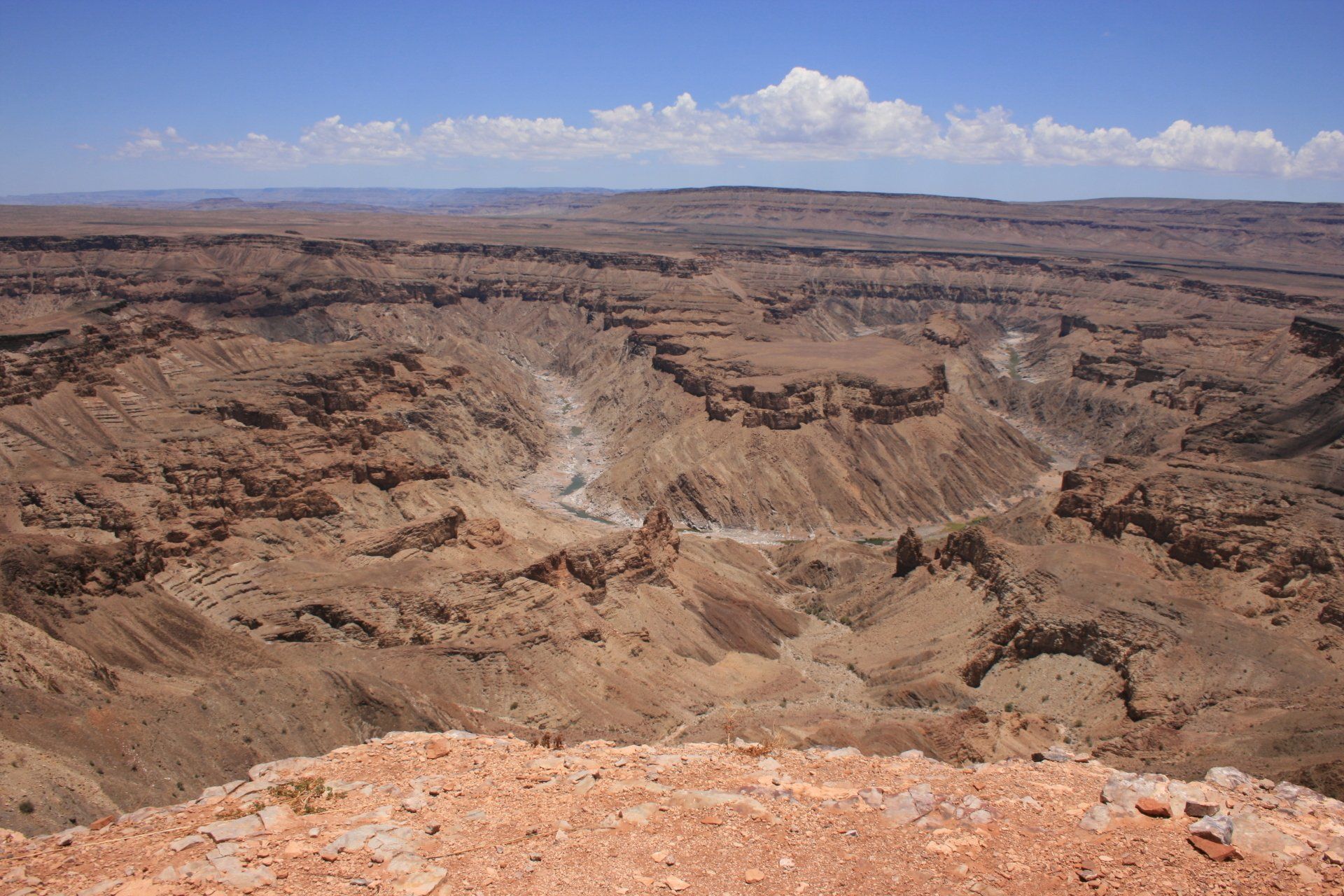
Daily Route – Aussenkehr to Ai-Ais, Hobas and on to Grünau.
Camping – Grünau Country House, Grünau. Large camping area and chalets. Bar and restaurant. Convenient for those travelling between Namibia and South Africa although not busy. Electricity.
Cost N$50 per person per night
Coordinates - S27 43.960 E18 22.710
Altitude = 1085 metres
Park fees – Hobas, Fish River Canyon – N$85 per person
Day 337 - Monday 11th January 2010
Namibia to South Africa
Trip miles to border = 29555 miles (47288 kms) Daily miles to border = 89 miles (142 kms)
Daily Route – Grünau down to the Namibian border crossing at Noordoewer.