Africa4x4
African Adventure - Our Trip
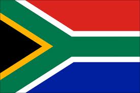
Republic of South Africa
Second Visit
Dates (Second Visit): 28th September 2009 to 27th October 2009
29 Days
South Africa second trip miles = 2961 miles (4738 km)
Trip miles = 20201 miles (32322 km)
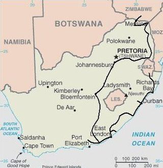

Route and Camping - South Africa Second Visit
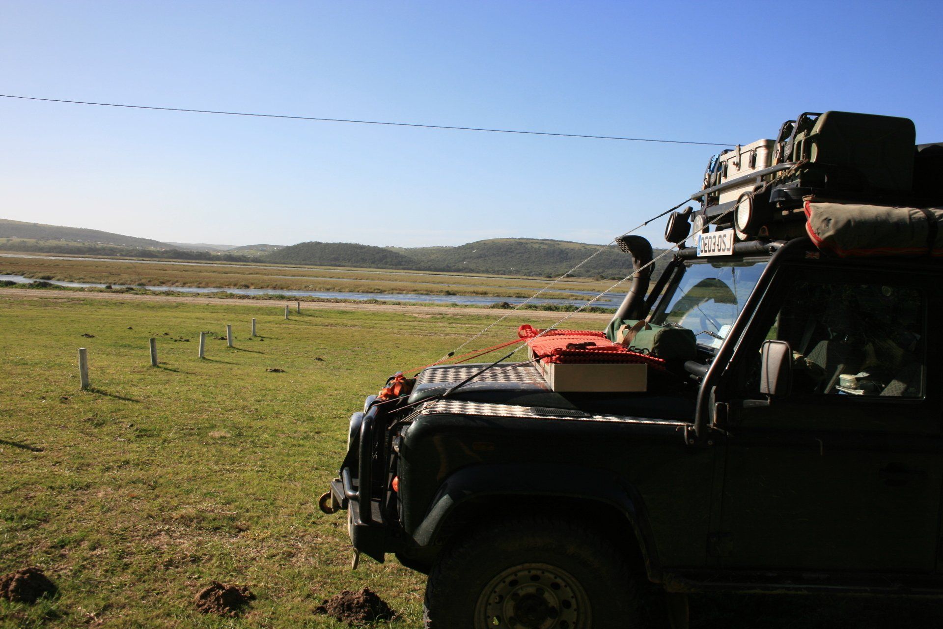
Day 232 - Monday 28th September 2009 CONTINUED
Swaziland to South Africa
Trip miles = 17240 miles (27584 km) Daily miles = 127 miles (203 km)
Daily Route – Big Bend to Lavumisa Border Crossing into South Africa and to the Mkhuze Game Reserve.
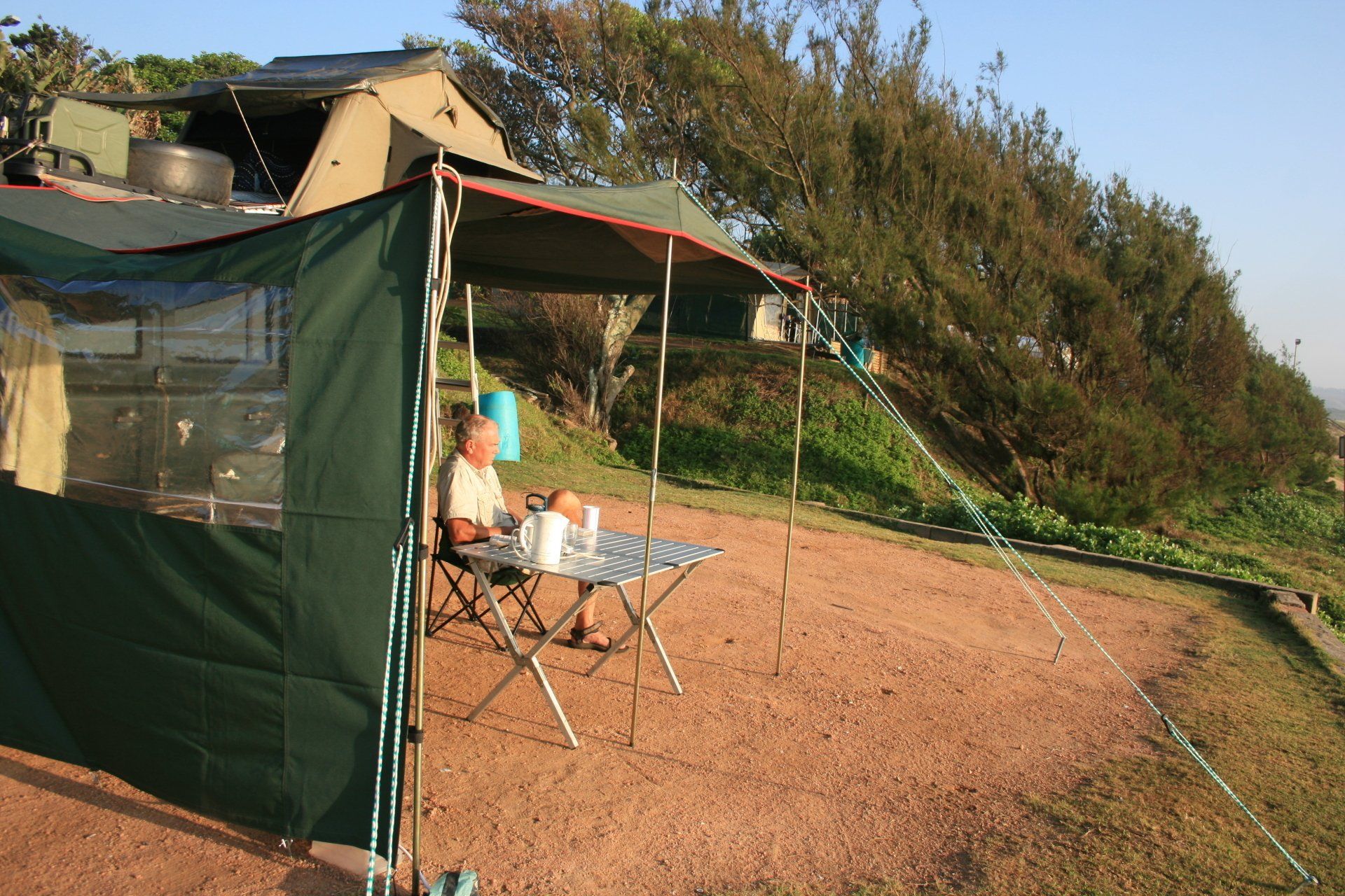
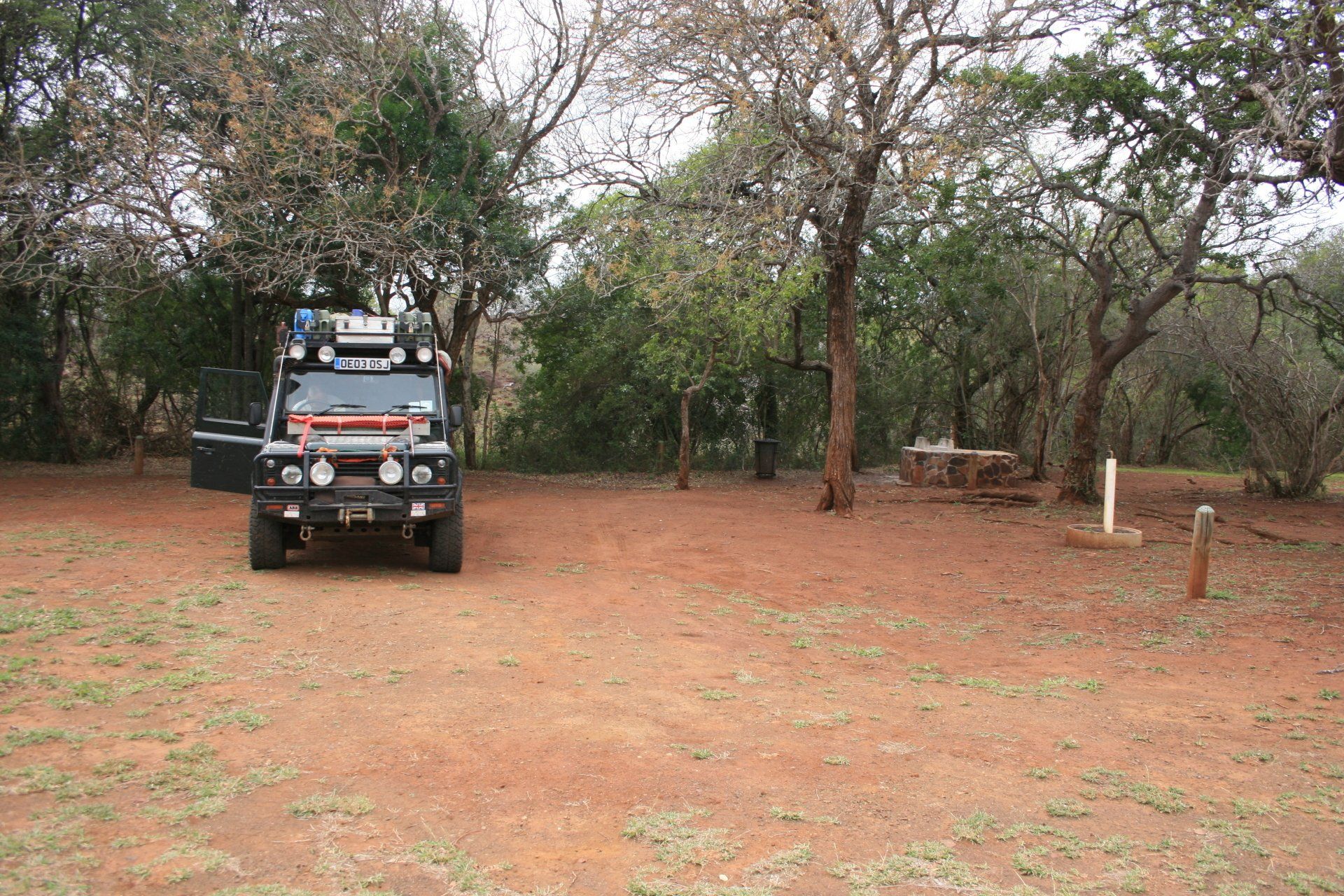
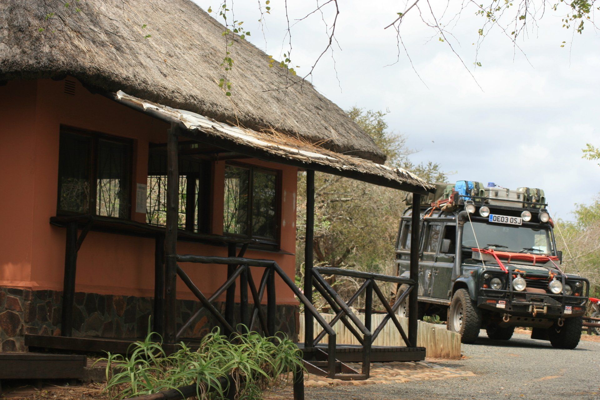
Camping – Mkhuze Game Reserve Camp. A large popular site near the main gate. Good ablution block with hot showers. Electricity.
Cost – R70 per person per night
Coordinates - S27 38.357 E32 09.542
Altitude = 131 metres
Park fees – one off payment of R25 per person + R35 per vehicle
Day 233 - Tuesday 29th September 2009
Trip miles = 17315 miles (27704 km) Daily miles = 75 miles (120 km)
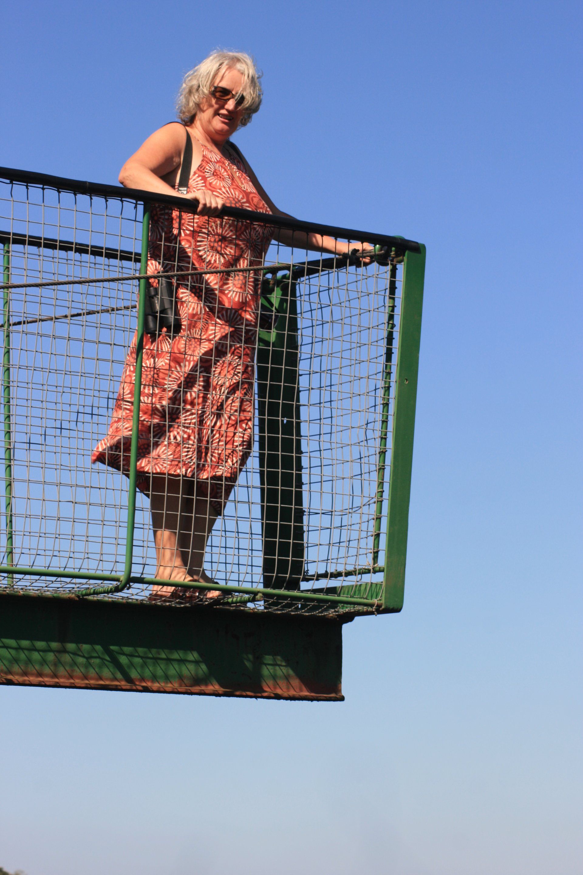
Daily Route – In and around Mkhuze Game Reserve.
Camping – as previous night.
Day 234 - Wednesday 30th September 2009
Trip miles = 17414 miles (27862 km) Daily miles = 99 miles (158 km)
Daily Route – Mkhuze Game Reserve, exiting through the east gate and south to Pinda, Hluhluwe and Bonamanzi Game Reserve.
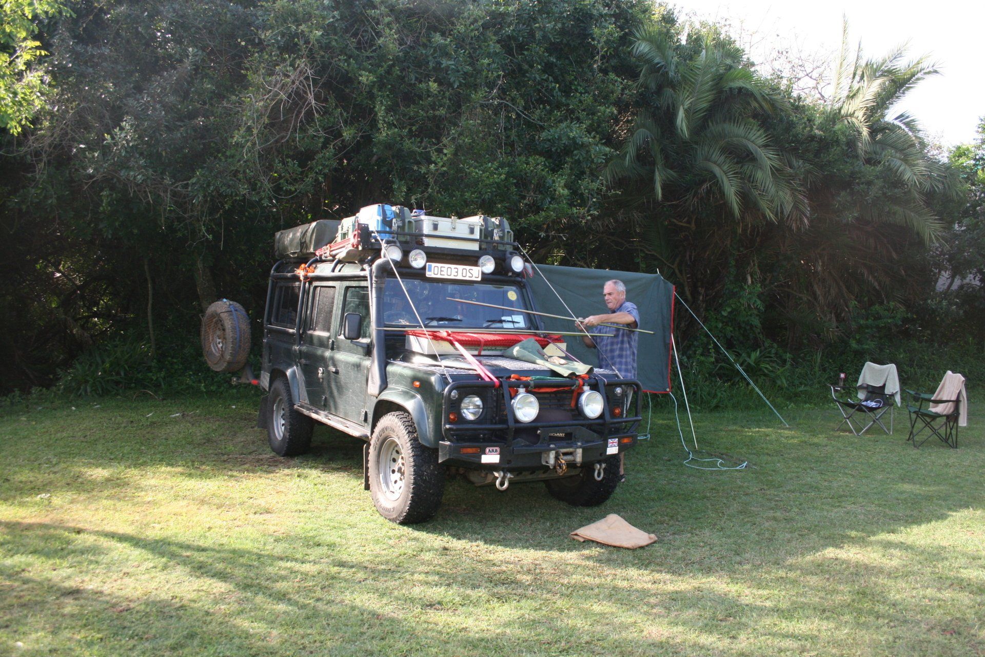
Camping – Bonamanzi Game Reserve Camp. A very nice site set amongst the trees but popular and best to pre-book. Good ablutions. Electricity.
Cost – R100 per person per night.
Coordinates - S28 04.092 E32 18.739
Altitude = 96 metres
Park fees – Bonamanzi included in camp fees.
Day 235 - Thursday 1st October 2009
Trip miles = 17500 miles (28000 km) Daily miles = 86 miles (138 km)
Daily Route - Bonamanzi Game Reserve to Hluhluwe and down the N2 to Richards Bay.
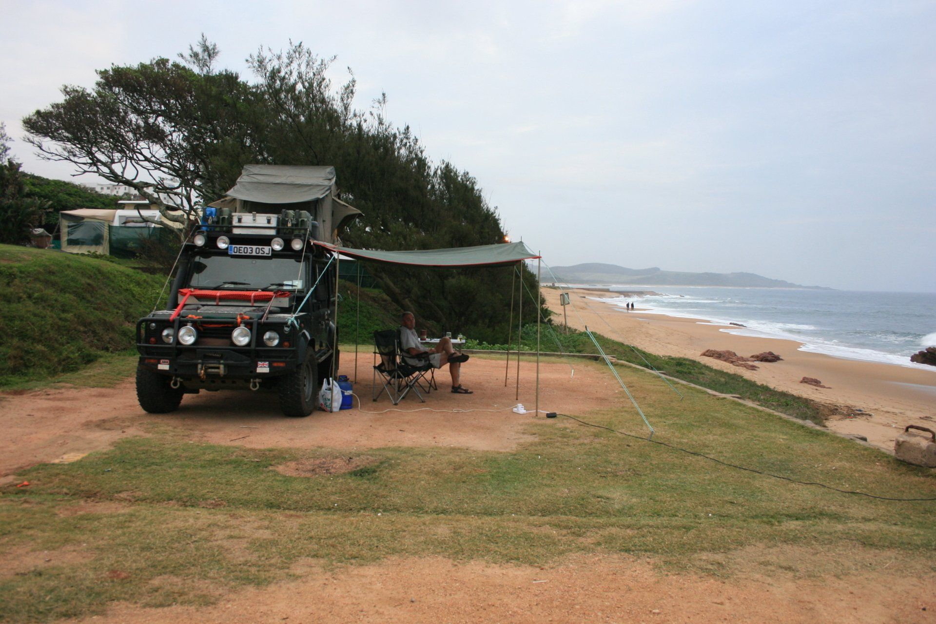
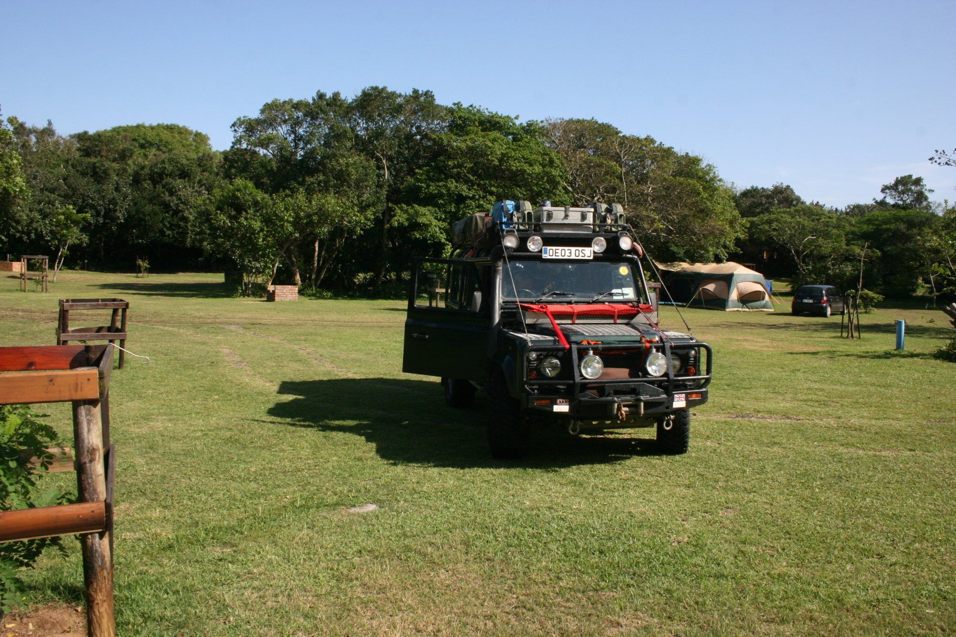
Camping – Richards Bay Caravan Park. A very large and popular site being near the sea. Good ablution block + washing machines (cold water) and driers. Electricity.
Cost – R70 per person per night
Coordinates - S28 47.463 E32 06.278
Altitude = 32 metres
Day 236 - Friday 2nd October 2009
Trip miles = 17511 miles (28018 km) Daily miles = 11 miles (18 km)
Daily Route - Richards Bay, Home Affairs Office for Visa extension.
Camping – as previous night.
Day 237 - Saturday 3rd October 2009
Trip miles = 17609 miles (28174 km) Daily miles = 95 miles (157 km)
Daily Route - Richards Bay to Dlinza Forest Reserve, to the Amatikulu Nature Reserve.
Camping – Amatikulu Nature Reserve camp. What could have been a lovely isolated site in a forest was full when we were there. Basic ablution facilities but not designed to cope with the numbers here. No electricity.
Cost – R40 per person per night.
Coordinates - S29 06.781 E 31 35.530
Altitude = 60 metres
Park fees – included in camp fees.
Day 238 - Sunday 4th October 2009
Trip miles = 17653 miles (28245 km) Daily miles = 44 miles (70 km)
Daily Route - Amatikulu Nature Reserve to Zinkwazi Lagoon Beach Resort.
Camping – Zinkwazi Lagoon Beach Resort. A fairly large site but only one section in use; pitches quite small. Good ablutions and hot water washing machine and dryer. Very good restaurant and bar. Electricity.
Cost – R85 per person per night + R50 deposit for gate key.
Coordinates - S29 16.676 E31 26.347
Altitude = 25 metres
Day 239 - Monday 5th October 2009
Trip miles = 17771 miles (28434 km) Daily miles = 118 miles (189 km)
Daily Route - Zinkwazi Lagoon Beach Resort to Hillcrest to Scottburgh.
Camping – Scottburgh Caravan Park. A large, busy and popular site in the middle of town but right next to the beach. Good ablutions. Electricity.
Cost – R80.35 per person per night.
Coordinates - S30 17.064 E30 45.578
Altitude = 3 metres
Day 240 - Tuesday 6th October 2009
Trip miles = 17865 miles (28584 km) Daily miles = 94 miles (150 km)
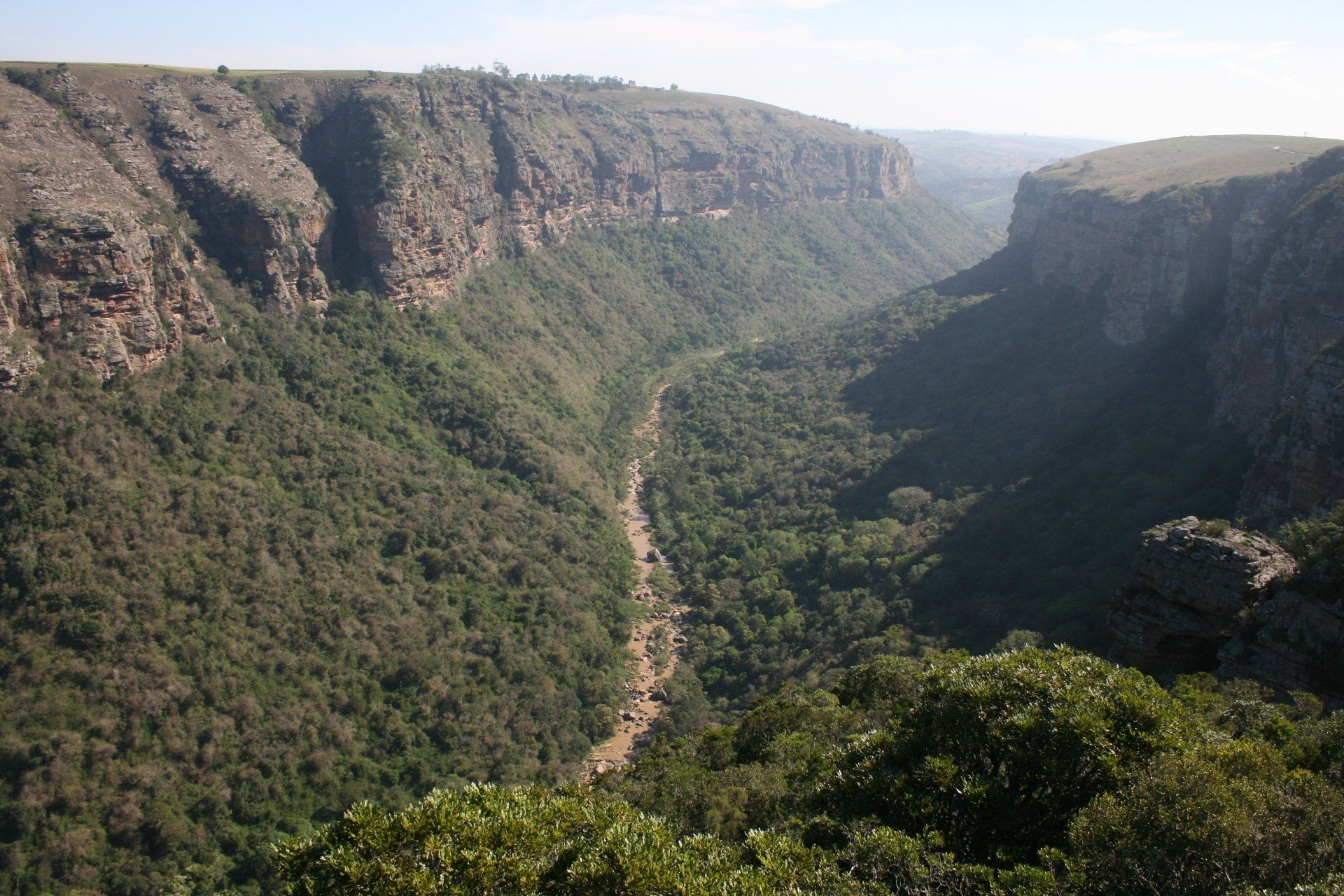
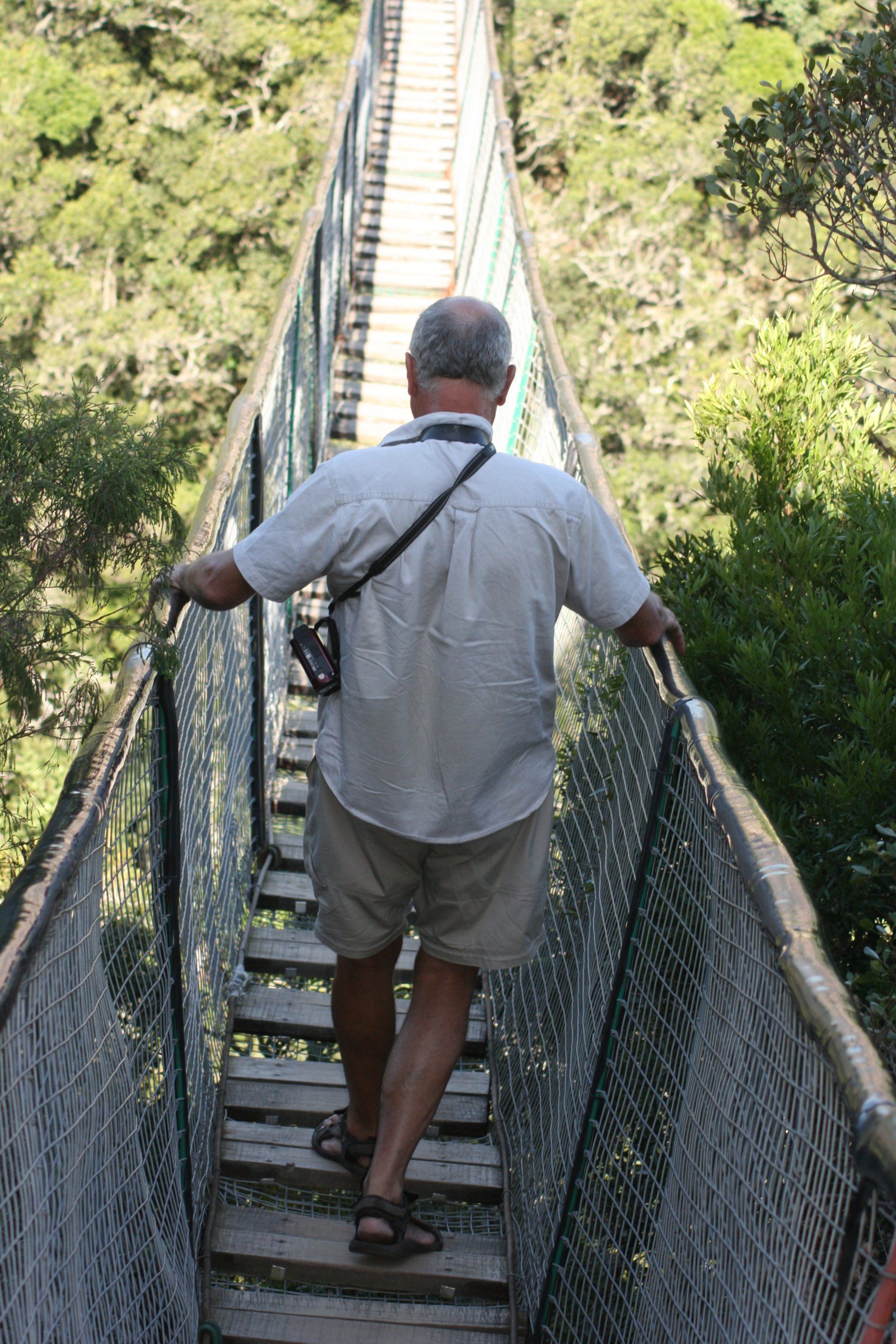
Daily Route – Scottburgh to Lake Eland Game Reserve.
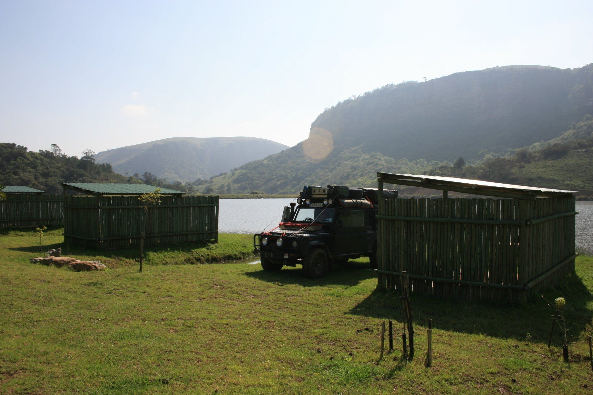
Camping – Lake Eland Game Reserve, Oribi Gorge. A lovely secluded and isolated site alongside a tranquil lake with nearby game. Each pitch had its own shelter with kitchen area and boat mooring – geared up for boats and fishermen. Good ablutions but no wood for donkey boiler so no hot showers. No electricity. There was a more commercialised camp near the gate reception.
Tel: 039 6870395
Cost – R70 per person per night.
Coordinates - S30 44.340 E30 09.734
Altitude = 415 metres
Day 241 - Wednesday 7th October 2009
Trip miles = 18118 miles (28989 km) Daily miles = 253 miles (405 km)
Daily Route – Lake Eland Game Reserve, down the N2 and across to Coffee Bay.
Camping – Coffee Bay Campsite. A disappointing site with very run down facilities. Being right on the coast this could be a very nice site. No electricity. Not far away is a site called White Clay that might be a better option.
Cost – R20 per person per night.
Coordinates - S31 59.164 E29 08.971
Altitude = 5 metres
Day 242 - Thursday 8th October 2009
Trip miles = 18348 miles (29357 km) Daily miles = 230 miles (368 km)
Daily Route – Coffee Bay back up onto the N2 and south to East London and onto the coast road to Hamburg.
Camping – Hamburg Caravan Park. Quite a nice site with large pitches near the estuary. We were the only campers but others, mainly sport fishermen, were in cabins and statics; I guess it would be busy at weekends. Small restaurant and bar with nice sounding menu, but not tried! Reasonable ablutions with hot showers. Dubious electricity.
Cost – Not recorded but not expensive.
Coordinates - S33 17.027 E27 28.767
Altitude = 3 metres
Day 243 - Friday 9th October 2009
Trip miles = 18455 miles (29528 km) Daily miles = 107 miles (171 km)
Daily Route - Hamburg to Port Alfred.
Accommodation – Port Alfred staying with friends.
Day 244 - Saturday 10th October 2009
Port Alfred
Day 245 – Sunday 11th October 2009
Port Alfred
Day 246 – Monday 12th October 2009
Port Alfred
Day 247 – Tuesday 13th October 2009
Port Alfred
Day 249 - Thursday 15th October 2009
Port Alfred
Day 250 – Friday 16th October 2009
Port Alfred
Overnight stay near Addo in above week
Day 251 – Saturday 17th October 2009
Trip miles = 18855 miles (30168 km) Daily miles = 400 miles (640 km)
Daily Route – Port Alfred to Grahamstown, Fort Beaufort, Queenstown and north on N6 to Aliwal North and up to Bloemfontein.
Camping – Rayneke Caravan Park, Bloemfontein. Small pitches but with individual ablution blocks. Electricity.
Cost – R85 per person per night.
Coordinates - S29 08.099 E26 08.416
Altitude = 1417 metres
Day 252 - Sunday 18th October 2009
Trip miles = 19093 miles (30549 km) Daily miles = 238 miles (381 km)
Daily Route – Bloemfontein up the N1 Toll to Kroonvaal and across to the R59 to north of Vereeniging.
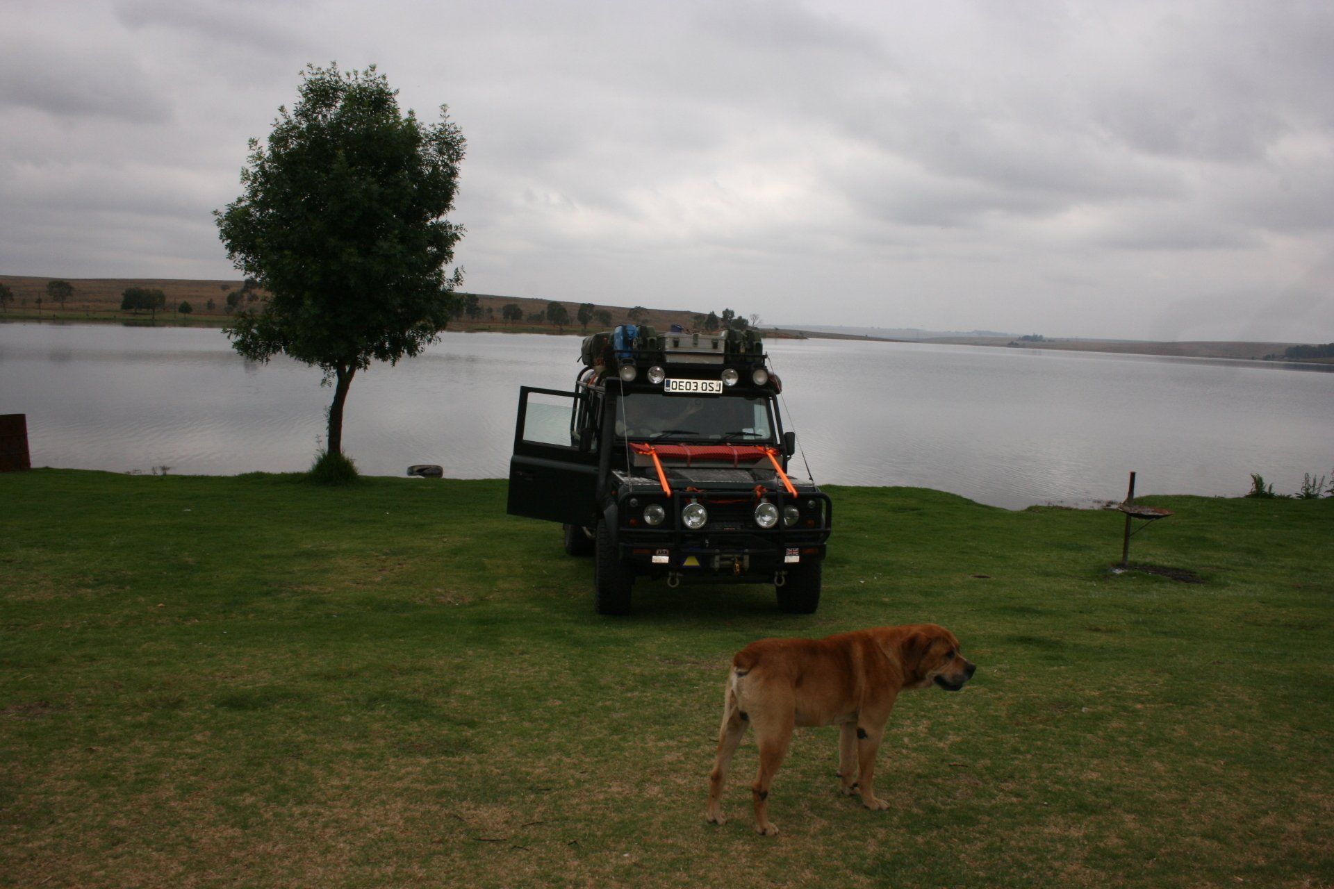
Camping – Koppisel Camping, near Vereeniging. A large popular site with still quite a few campers staying on after the Sunday afternoon exodus. Good ablutions with hot showers. Small shop. Electricity.
Cost – R92.5 per person per night.
Coordinates - S26 33.728 E27 55.680
Altitude = 1542 metres
Day 253 - Monday 19th October 2009
Trip miles = 19241 miles (30786 km) Daily miles = 148 miles (237 km)
Daily Route – Vereeniging to Meadowdale, Johannesburg to Middelburg.
We did follow directions for a campsite near Witbank (Witbank Dam Campsite) but the road to it took us to and through a rather unsavoury shanty town with strange looks and from the GPS the campsite appeared to be either in or right alongside. We decided it wasn't for us and returned to the main road!
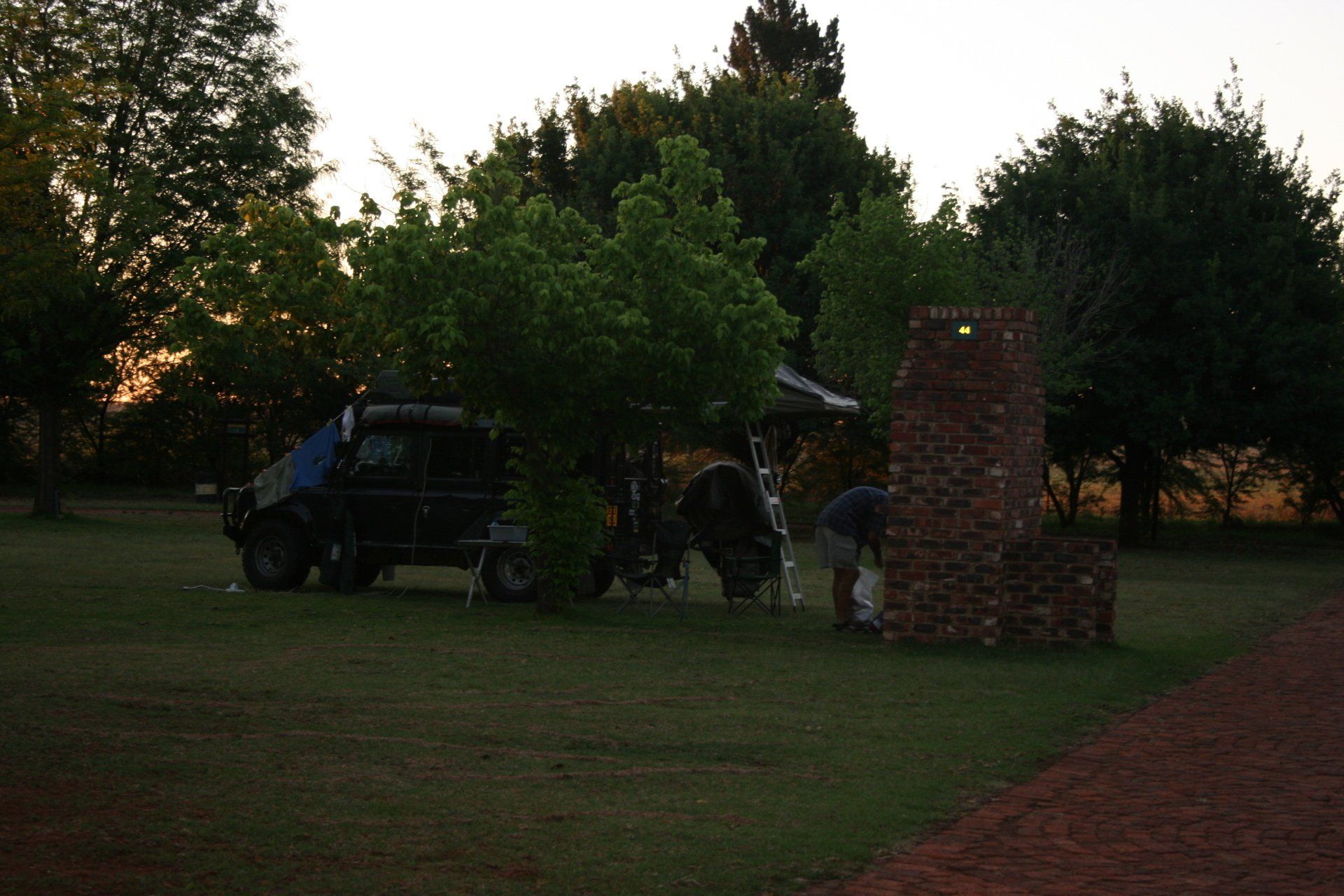
Camping – Middelburg Dam, Middelburg. A large grassy site next to a fishing lake. Good ablutions with hot showers. No electricity.
Cost – R3R per person per night.
Coordinates - S25 46.414 E29 33.129
Altitude = 1518 metres
Day 254 - Tuesday 20th October 2009
Trip miles = 19448 miles (31117 km) Daily miles = 207 miles (331 km)
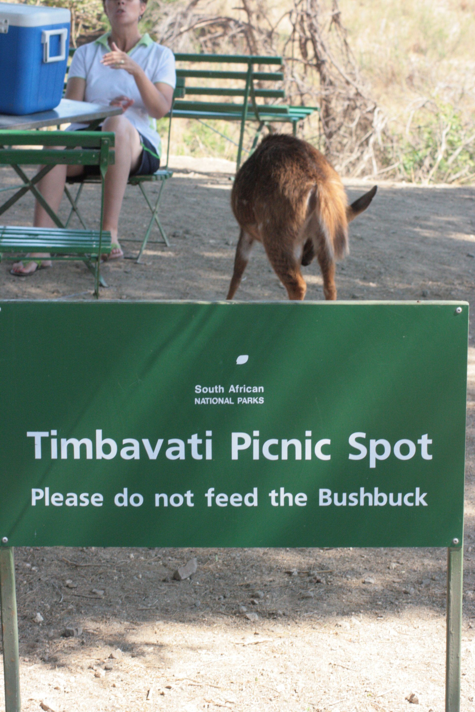
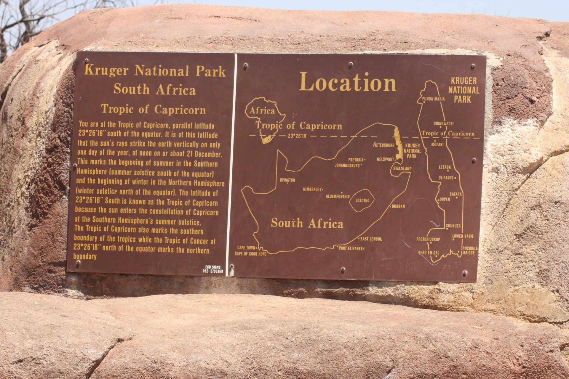
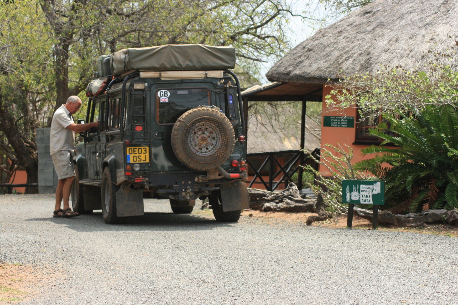
Daily Route – Middelburg on to the N4 Toll (55R) taking the northern option through the mountains on the R539 (the southern N4 route would have been more sensible given the hills) joining up with the N4 and into Nelspruit. Across to the Kruger National Park entering at the Malelane Gate to the Skukuza Camp.
Camping – a busy site with fairly small pitches. Good ablutions. Restaurant, shop, bank and fuel. Electricity.
Cost – R75 per person per night.
Coordinates - S24 59.663 E31 35.674
Altitude = 272 metres
Park fees – free on our Wildcard.
Day 255 - Wednesday 21st October 2009
Trip miles = 19562 miles (31299 km) Daily miles = 114 miles (182 km)
Daily Route – Skukuza Camp round to Pretoriuskop and over to Crocodile Bridge.
Camping – Crocodile Bridge Camp, Kruger National Park. A smaller site but still fairly busy. Shop and Fuel. Electricity.
Cost – R75 per person per night.
Coordinates - S25 21.473 E31 53.597
Altitude = 162 metres
Day 256 - Thursday 22nd October 2009
Trip miles = 19669 miles (31470 km) Daily miles = 107 miles (171 km)
Daily Route – Crocodile Bridge Camp up to Satara Camp.
Camping – Satara camp, Kruger National Park. Another large and busy site with good ablutions. Shop, restaurant and fuel. Although they allocate pitches it seemed to be a free-for-all. Electricity, even though we didn’t pay.
Cost – R67.5 per person per night without electricity; R75 per person per night with electricity.
Coordinates - S24 23.537 E31 46.547
Altitude = 268 metres
Day 257 - Friday 23rd October 2009
Trip miles = 19786 miles (31658 km) Daily miles = 117 miles (187 km)
Daily Route – Around the Satara area.
Camping – as previous night
Day 258 - Saturday 24th October 2009
Trip miles = 19916 miles (31866 km) Daily miles = 130 miles (208 km)
Daily Route – Satara up to Letaba Camp.
Camping – Letaba Camp, Kruger National Park. Another busy but smaller camp with smaller pitches and consequently crowded. Shop, restaurant overlooking a waterhole and fuel. Electricity.
Cost – R70 per person per night.
Coordinates - S23 51.307 E31 34.693
Altitude = 232 metres
Day 259 - Sunday 25th October 2009
Trip miles = 20047 miles (32075 km) Daily miles = 131 miles (210 km)
Daily Route – Letaba Camp up Punda Maria.
Camping – Punda Maria Camp, Kruger National Park. A much less busy site, being way further north than the tourist route and fairly small. Waterhole right alongside the camp fence. Small shop, small restaurant and fuel. Good ablutions. Hot water washing machines. Electricity.
Cost – R70 per person per night.
Coordinates - S22 41.588 E31 00.975
Altitude = 455 metres
Day 260 - Monday 26th October 2009
Trip miles = 20168 miles (32269 km) Daily miles = 121 miles (194 km)
Daily Route – Punda Maria, Kruger National Park, through Pafuri Gate West and along to Tshipise.
Camping – Forever Holiday Resort, Tshipise. A large complex with large campsite but not particularly busy. Good ablutions. Swimming pool re-filled each night with natural hot spring water. Restaurant. Electricity.
Cost – R85 per person per night.
Coordinates - S22 36.498 E30 10.161
Altitude = 516 metres
Day 261 - Tuesday 27th October 2009
South Africa to Zimbabwe
Trip miles to border = 20201 miles (32322 km) Daily miles = 33 miles (53 km)
Daily Route – Tshipise to Messina and up to Beitbridge border