Africa4x4
African Adventure - Our Trip
Republic of Botswana
Second Visit
Dates: 13th November 2009 to 15th December 2009
32 Days
Botswana second trip miles = 3526 miles (5642 km)
Trip miles = 25925 miles (41480 km)

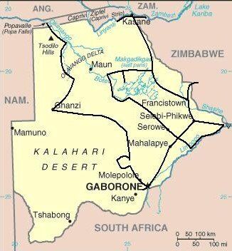


Route and Camping - Botswana 2nd Visit
Dates: 13th November 2009 to 15th December 2009
32 Days
Botswana second trip miles = 3526 miles (5642 km)
Trip miles = 25925 miles (41480 km)
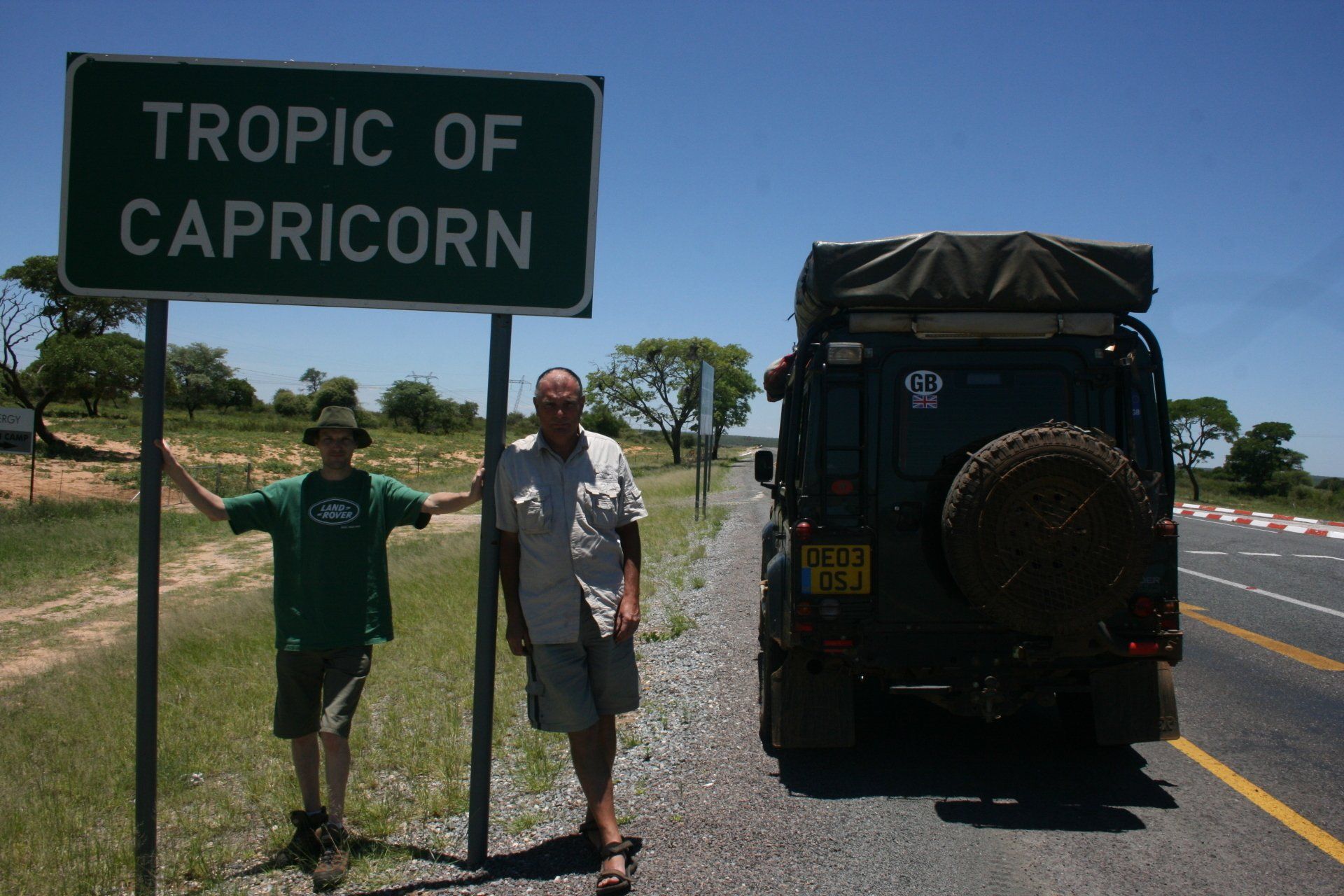
Day 278 – Friday 13th November 2009 CONTINUED
Zimbabwe to Botswana
Trip miles = 22399 miles (35838 km) Daily miles from border = 63 miles (101 km)
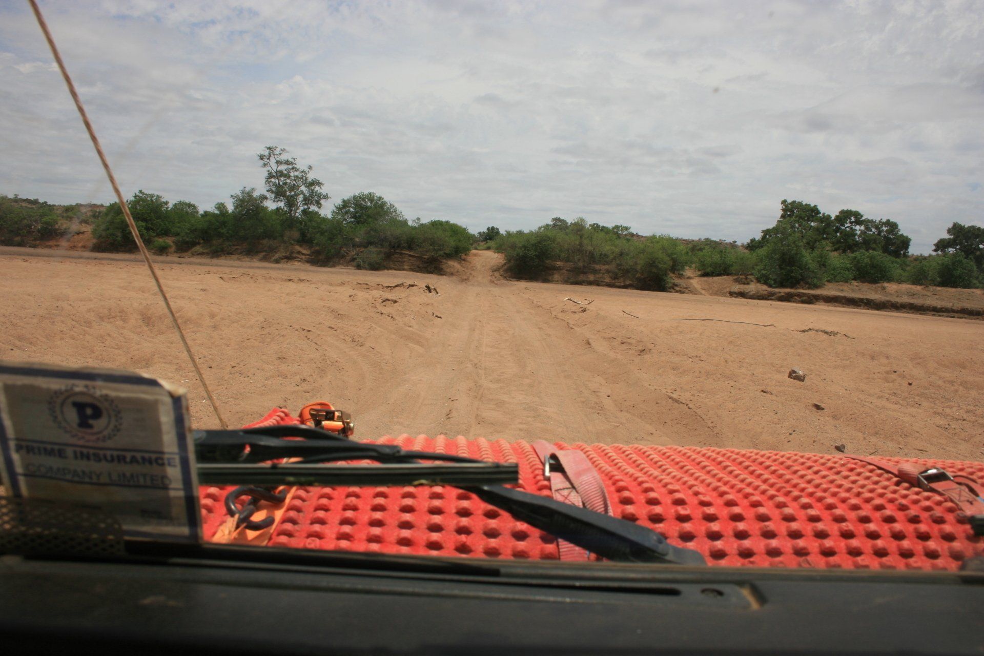
Daily Route – Motopes National Park, Zimbabwe to Francistown via Plumtree Border Crossing.
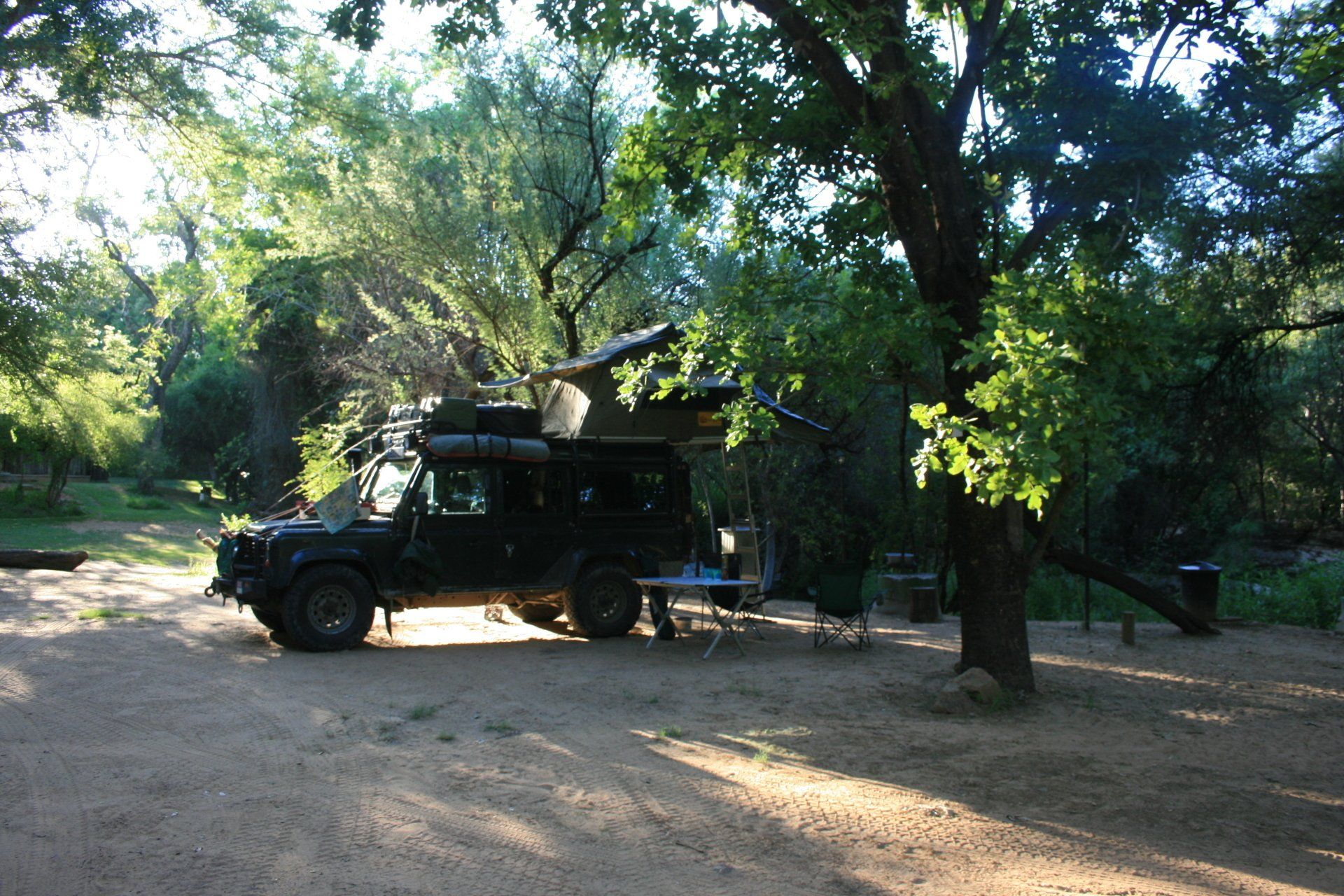
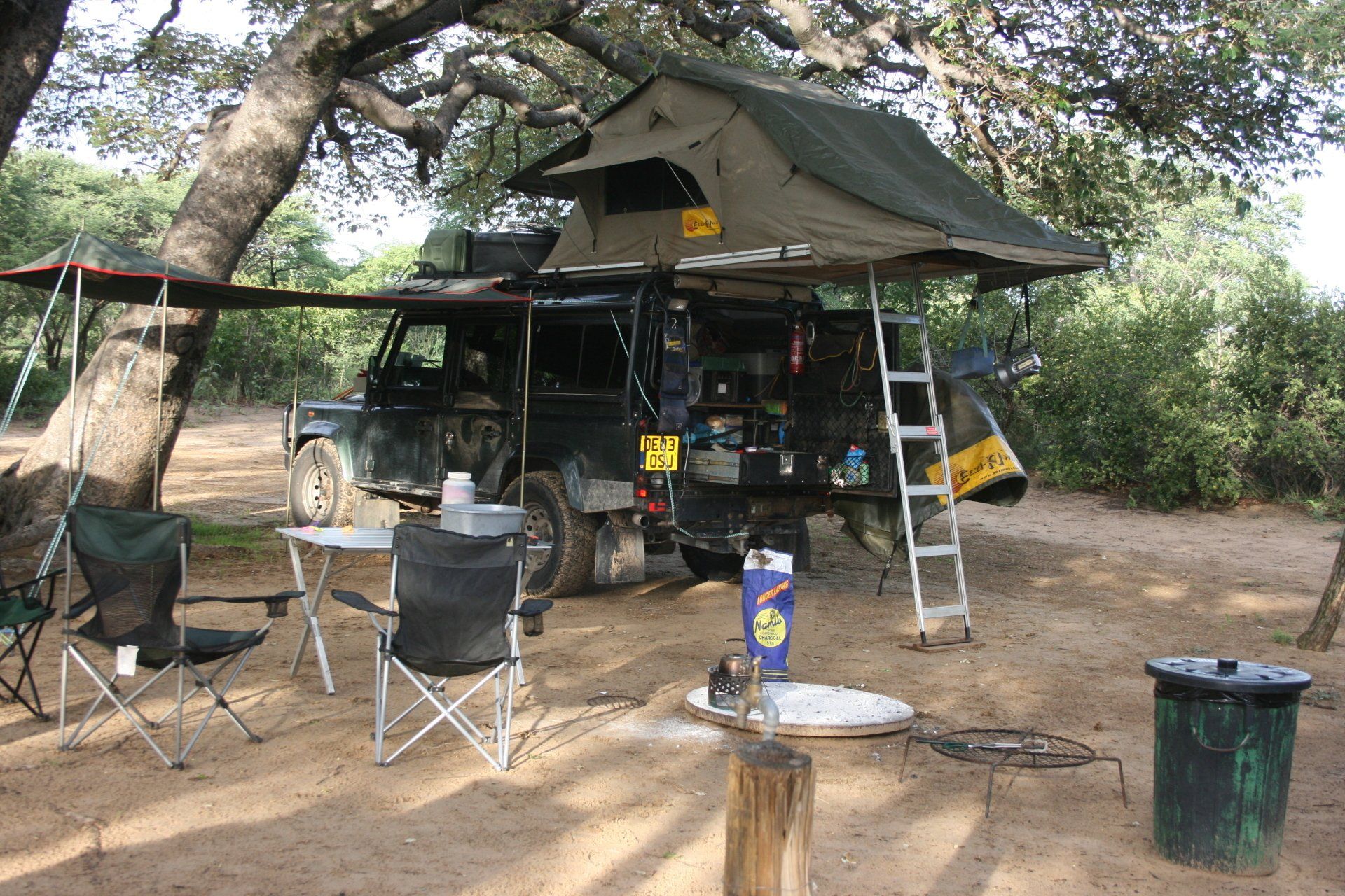
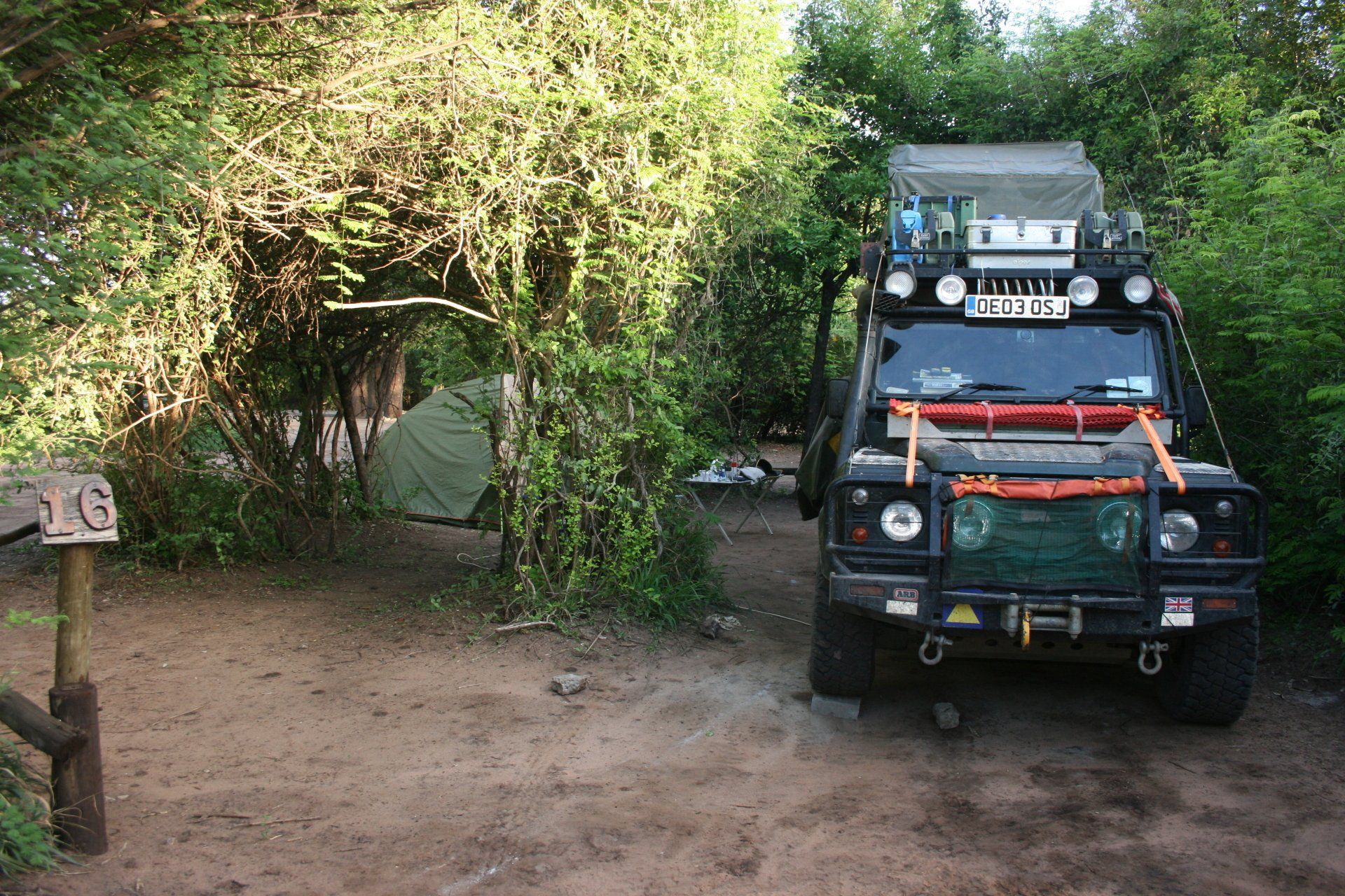
Camping – Woodlands Stopover, Francistown. A very pleasant site next to a dry river. Nice ablution blocks and swimming pool. Electricity.
Cost – 62 Pula per person per night.
Coordinates - S21 04.891 E27 27.875
Altitude = 1010 metres
Day 279 - Saturday 14th November 2009
Francistown
Trip miles = 22399 miles (35838 km) Daily miles = 0 miles (0 km)
Daily Route – Woodlands Stopover, Francistown.
Camping – as previous night
Day 280 - Sunday 15th November 2009
Trip miles = 22399 miles (35838 km) Daily miles = 0 miles (0 km)
Daily Route – Woodlands Stopover, Francistown.
Camping – as previous night
Day 281 - Monday 16th November 2009
Francistown to Selebi Phikwe
Trip miles = 22498 miles (35997 km) Daily miles = 99 miles (158 km)
Daily Route – Francistown to Selebi Phikwe.
Camping – Phokoje Lodge Camp, Selebi Phikwe. A small site with little to endear itself. Popular as a workers stop over. Ablution block poor. Electricity. Restaurant.
Cost – 100 Pula per person per night.
Coordinates - S21 58.512 E27 46.647
Day 282 - Tuesday 17th November 2009
Selebi Phikwe to Tuli Block
Trip miles = 22625 miles (36200 km) Daily miles = 127 miles (203 km)
Daily Route – Selebi Phikwe to Tuli Block.
Camping – Malema (Molema on some maps) Community Campsite, Tuli Block. A brilliant site with large individual pitches set under the Limpopo riverside trees. A short walk across the Limpopo into South Africa! Very attentive staff. Lovely individual rustic ablution block. No electricity.
Cost – 75 Pula per person per night.
Bookings through Tuli Lodge telephone 2645303
Coordinates - S22 17.970 E28 58.527
Park fees – one off 30 Pula
Day 283 - Wednesday 18th November 2009
Trip miles = 22677 miles (36283 km) Daily miles = 52 miles (83 km)
Daily Route – In and around the Tuli Block.
Camping – as previous night
Day 284 - Thursday 19th November
Trip miles = 23012 miles (36819 km) Daily miles = 335 miles (536 km)
Daily Route – Tuli Block down to Martin’s Drift, across to Palapye and down to Gaborone. Were intending camping in Palapye were we stayed back in April but it was closed for a month - no other campsites within many miles.
Camping – Citicamping, Gaborone. A noisy and busy, with workers, campsite close to the city centre but with reasonable ablutions and handy for the city and airport. Train drivers on the railway track alongside campsite delight in blowing their hooter during the night!
Cost = 50 Pula per person per night.
Coordinates - S24 38.366 E25 54.593
Altitude = 1024 metres
Day 285 - Friday 20th November 2009
Trip miles = 23012 miles (36819 km) Daily miles = 0 miles (0 km)
Daily Route – Citicamping, Gaborone.
Camping – as previous night.
Day 286 - Saturday 21st November 2009
Trip miles = 23052 miles (36883 km) Daily miles = 40 miles (64 km)
Daily Route – Gaborone.
Camping – as previous night.
Day 287 - Sunday 22nd November 2009
Trip miles = 23126 miles (37002 km) Daily miles = 74 miles (118 km)
Daily Route – Gaborone to airport and Mokolodi.
Camping – Mokolodi Nature Reserve, a few kilometres south of Gaborone. An excellent camp set in the bush with individual secluded pitches, probably ten in total. Individual flush toilet and open air shower with hot water courtesy of the donkey boiler. Restaurant at reception but sporadic opening times; will collect from camp as a fair distance and no walking allowed. No electricity.
Cost = 30 Pula per person per night.
Coordinates - S22 33.578 E27 07.677
Park fees = 120 Pula per person per day + 50 Pula per day for the vehicle.
Altitude = 1055 metres
Day 288 - Monday 23rd November 2009
Trip miles = 23185 miles (37096 km) Daily miles = 59 miles (94 km)
Daily Route – Mokolodi and airport.
Camping – as previous night.
Day 289 - Tuesday 24th November 2009
Trip miles = 23477 miles (37563 km) Daily miles = 292 miles (467 km)
Daily Route – Mokolodi, Gaborone to Francistown
Camping – Woodlands Stopover, Francistown. A very nice site next to a dry river. Nice ablution blocks and swimming pool. Electricity.
Cost – 62 Pula per person per night.
Coordinates - S21 04.891 E27 27.875
Altitude = 1010 metres
Day 290 - Wednesday 25th November 2009
Trip miles = 23819 miles (38110 km) Daily miles = 342 miles (547 km)
Daily Route – Francistown to Kazungula
Camping – Senyati Safari Camp, south of Kazungula. A very nice site recently opened and in the process of being developed with more chalets due. Pitches were not obvious but ours had its own ablution block and shelter. Wild animals wandered freely through site. Looked out over some marshes and waterhole with a bar and observation deck. Would do food if required. Electricity. Would highly recommend the place to fellow travellers. Contact Louw Barnard the owner of Senyati Safari Camp www.senyatisafaricamp.co.bw Cell 00267-71881306.
Cost – 100 Pula per person per night.
Coordinates - S17 52.312 E25 14.107
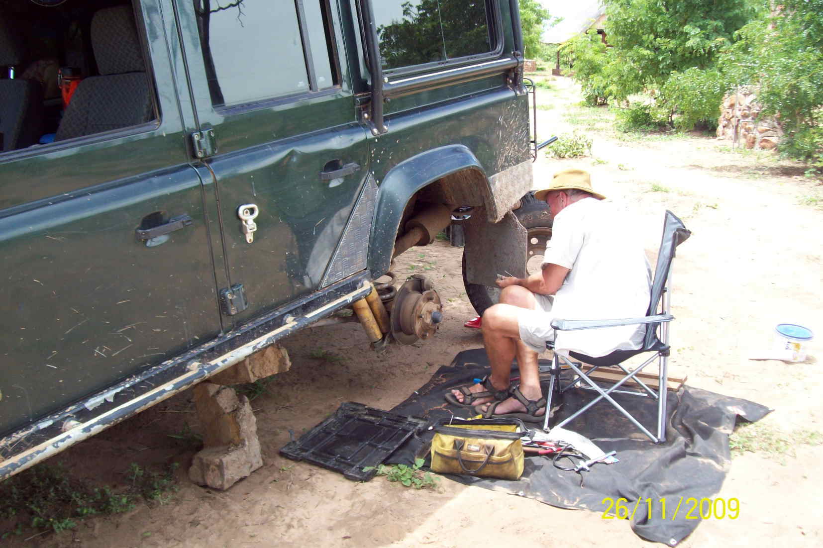
Day 291 - Thursday 26th November 2009
Trip miles = 23925 miles (38280 km) Daily miles = 106 miles (170 km)
Daily Route – Kazungula to Victoria Falls, Zimbabwe.
Camping – as previous night
Border fees – US$55 each for visas; 50 Pula carbon tax into Zimbabwe; 40 Pula road tax back into Botswana. Insurance and road tax still valid from last entry (30 days)
Day 292 - Friday 27th November 2009
Trip miles = 23940 miles (38304 km) Daily miles = 15 miles (24 km)
Daily Route –Senyati Safari Camp, Kazungula to Chobe Safari Lodge, Kasane.
Camping – Chobe Safari Lodge, Kasane. Much less busy than last Easter when things were not helped by the floods. The now dry pitches near the water were bigger than the ones at the back of the camp that had been the only dry ones earlier. Good ablution block. Electricity. Excellent restaurant, pool and with various other activities.
Cost = 65 Pula per person per night
Coordinates - S17 48.556 E25 08.737
Altitude = 925 metres
Day 293 - Saturday 28th November 2009
Trip miles = 23976 miles (38362 km) Daily miles = 36 miles (58 km)
Daily Route – Senyati Safari Camp, Kazungula to Chobe Safari Lodge, Kasane.
Camping – as previous night
Park fees - 120 Pula per person per day + 50 Pula for the vehicle
Boat trip – 440 Pula per person
Day 294 - Sunday 29th November 2009
Trip miles = 24010 miles (38416 km) Daily miles = 34 miles (54 km)
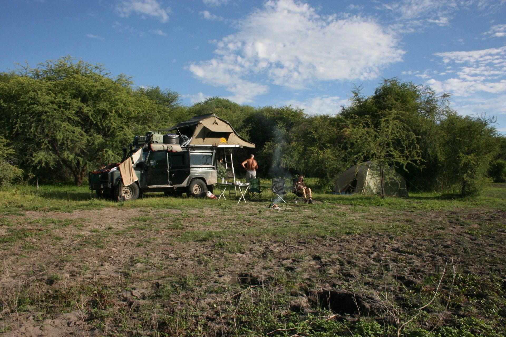
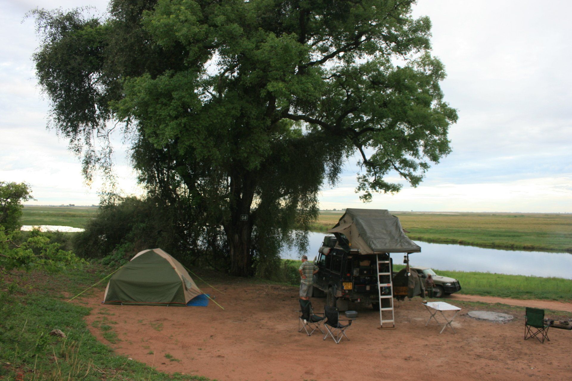
Daily Route – Chobe Safari Lodge, Kasane, to Ihaha Camp, Chobe National Park
Camping – a lovely pitch alongside the Chobe River in the heart of the park with wild animals roaming freely through the camp. Good ablution block. No electricity. Must pre-book camping [we booked at the Wildlife Offices in Gaborone].
Cost = 30 Pula per person per day.
Coordinates - S17 50.335 E24 52.636
Altitude = 934 metres
Park fees - 120 Pula per person per day + 50 Pula for the vehicle
Day 295 - Monday 30th November 2009
Trip miles = 24061 miles (38498 km) Daily miles = 51 miles (82 km)
Daily Route – Chobe National Park.
Camping – as previous night
Day 296 - Tuesday 1st December 2009
Trip miles = 24293 miles (38869 km) Daily miles = 232 miles (371 km)
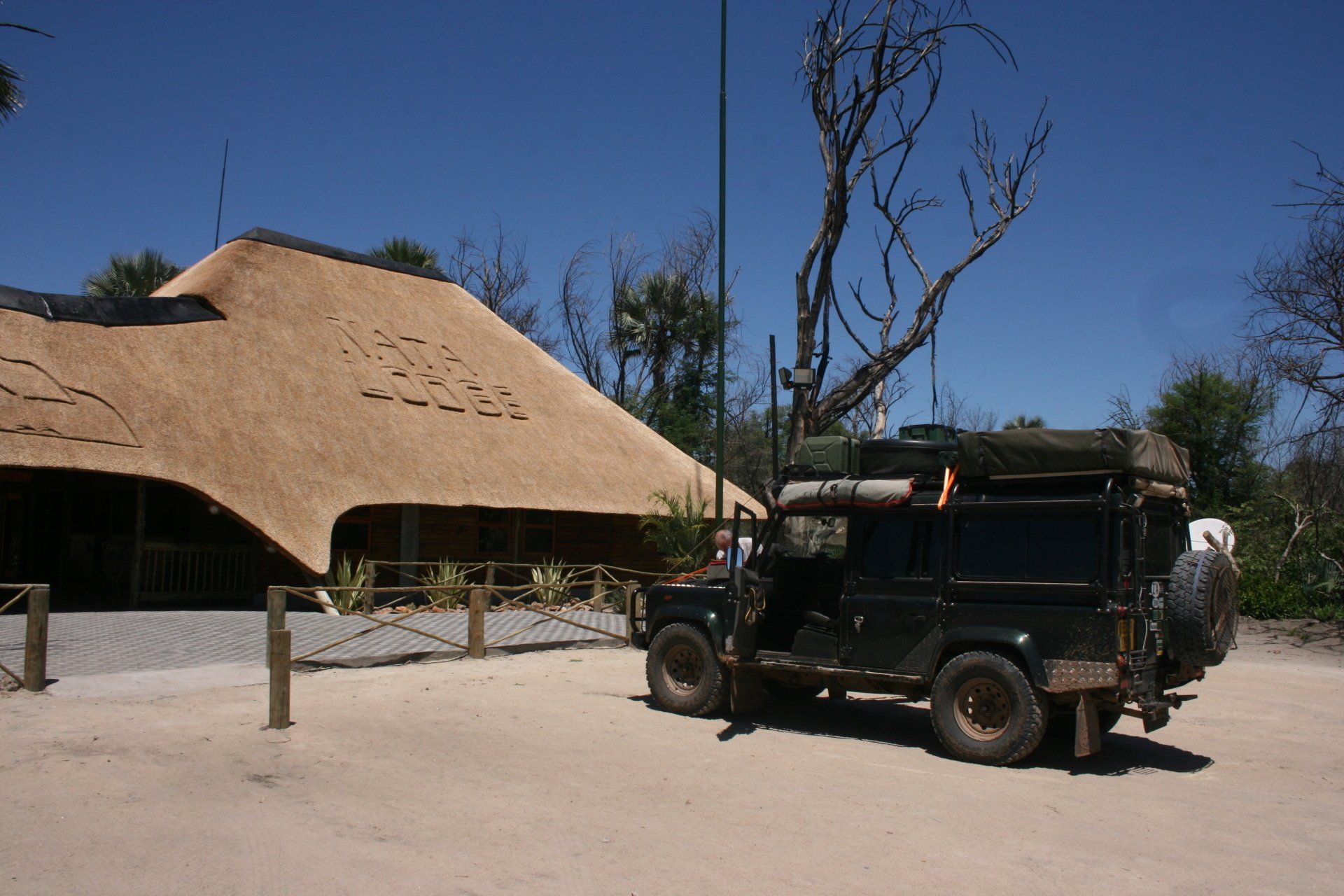
Daily Route – Chobe National Park, Kasane down to Nata Lodge, Nata.
Camping – A large area for camping but without defined pitches. Very quiet when we were there but only recently reopened after the fire. Good ablution block. Electricity. Very nice bar and restaurant + pool. Can organise game drives to
Cost = 57 Pula per person per day.
Coordinates - S20 13.514 E26 16.115
Altitude = 916 metres
Park fees – Makgadikgadi Pans – nil, no one on gate due to floods.
Day 297 - Wednesday 2nd December 2009
Trip miles = 24512 miles (39219 km) Daily miles = 232 miles (371 km)
Daily Route – Nata Lodge, Nata to Motopi and then south to Khumaga.
We did heed the following advice and stayed off the wet pans - “Safety Precautions. Support Vehicle. It is essential that at least two vehicles travel together. There have been a number of incidents in the remote parts of Botswana where people were stranded without the support of a back-up vehicle, which in some cases resulted in their deaths. In most cases people started walking, got lost and died of exposure.”
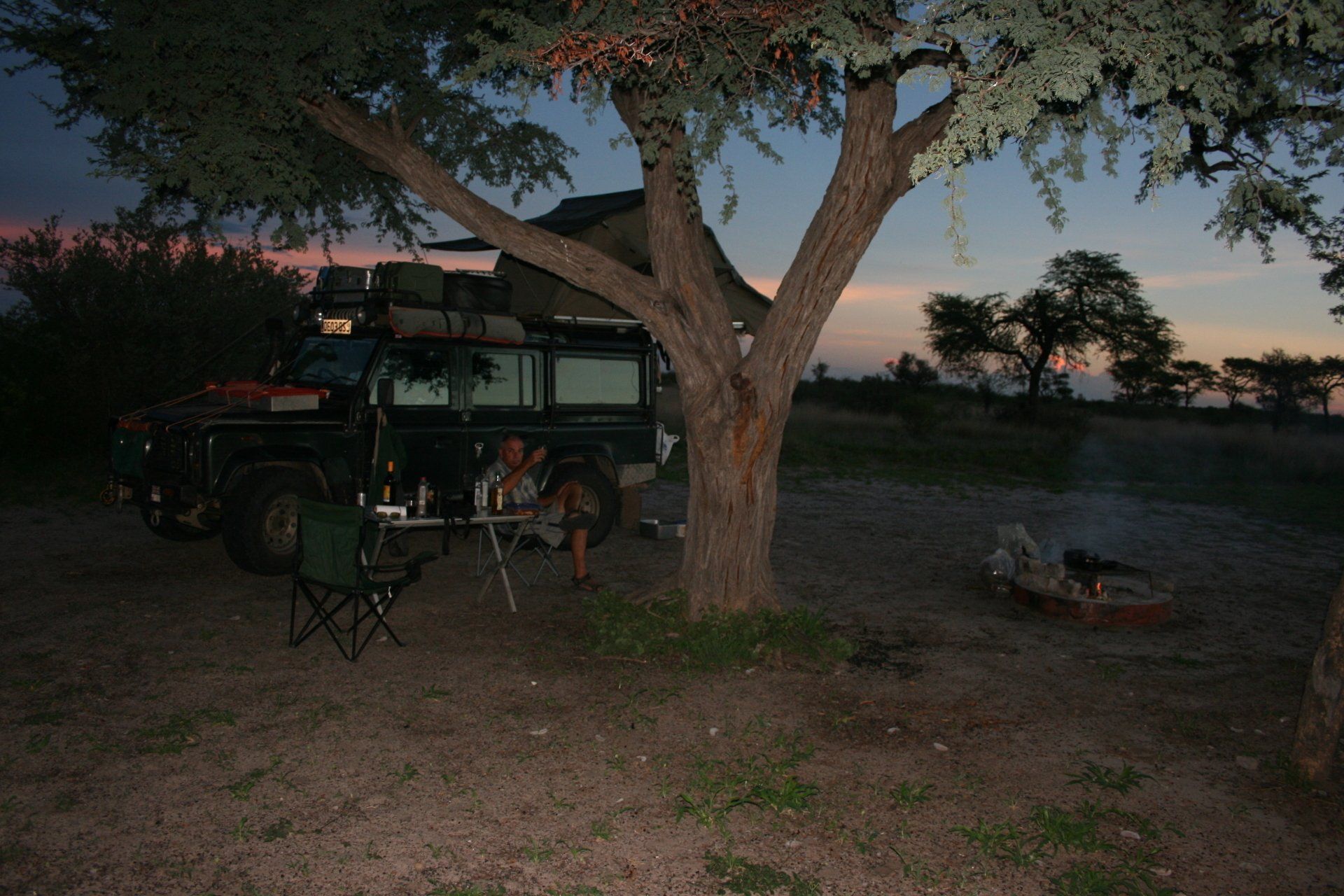
Camping – Wild camp alongside the Boteti River that had water in it, miles from anywhere. No sign of the Xwaraga Camp supposed to be here and suspect it was the other side of the electrified fence!
Cost = Nil.
Coordinates -S20 25.852 E24 31.075
Altitude = 917 metres
Day 298 - Thursday 3rd December 2009
Trip miles = 24773 miles (39637 km) Daily miles = 219 miles (350 km)
Daily Route – Khumaga, down to Letlhakane and south to Khama Rhino Sanctuary.
Camping – Khama Rhino Sanctuary (Site number 10). A really lovely site in an idyllic setting. No electricity but nearby ablution block has flush toilets and hot showers. Small shop, with firewood, at reception and a good restaurant and pool nearby although the habituated black rhino has been known to drink from it.
Cost = 53 Pula per person per night.
Coordinates - S22 15.040 E26 45.532
Altitude = 1244 metres
Park fees – 35 Pula per person per day + 41 Pula per vehicle per day.
Day 299 - Friday 4th December 2009
Trip miles = 24803 miles (39685 km) Daily miles = 30 miles (48 km)
Daily Route – In and around Khama Rhino Sanctuary.
Camping – as previous night
Day 300 - Saturday 5th December 2009
Trip miles = 25058 miles (40093 km) Daily miles = 225 miles (408 km)
Daily Route – Khama Rhino Sanctuary, down to Gaborone.
Camping – Chalet at Citi Camping, Gaborone.
Cost 250 Pula per night for double chalet with en suite bathroom. Served the purpose.
Coordinates - S24 38.366 E25 54.593
Altitude = 1024 metres
Day 301 - Sunday 6th December 2009
Trip miles = 25066 miles (40106 km) Daily miles = 8 miles (13 km)
Daily Route – In and around Gaborone + airport.
Camping – Chalet as previous night
Day 302 - Monday 7th December 2009
Trip miles = 25081 miles (40130 km) Daily miles = 15 miles (24 km)
Daily Route – Gaborone and Mokolodi.
Camping – Mokolodi Nature Reserve, a few kilometres south of Gaborone. An excellent camp set in the bush with individual secluded pitches, probably ten in total. Individual flush toilet and open air shower with hot water courtesy of the donkey boiler. Restaurant at reception but sporadic opening times; will collect from camp as a fair distance and no walking allowed. No electricity.
Cost = 30 Pula per person per night.
Coordinates - S22 33.578 E27 07.677
Altitude = 1050 metres
Park fees = 120 Pula per person per day + 50 Pula per day for the vehicle.
Day 303 - Tuesday 8th December 2009
Trip miles = 25269 miles (40430 km) Daily miles = 188 miles (301 km)
Daily Route – Gaborone to Khutse Game Reserve.
Camping – Khutse Game Reserve, Central Kalahari – Khutse Pan Camp KH08. A very quiet park with large pitches isolated from each other. Very peaceful. No facilities save a long drop toilet and bucket shower for each pitch. No electricity and no water. Camp numbering system has changed.
Booking for Khutse Game Reserve are now handled by Bigfoot Tours - telephone 73555573 or 3953360.
Cost = 100 Pula per person per night paid to Bigfoot.
Coordinates - S23 20.467 E24 29.979
Altitude = 994 metres
Park fees = 120 Pula per person per day + 50 Pula per day for the vehicle: paid to Botswana National Parks but at the gate.
Vehicle issues – Before setting out into the Kalahari Desert make sure you have sufficient fuel – garage at Molepolole & last garage before the Kalahari is at Letlhakeng, 115km further on from Molepolole – top at both just in case! Officers will check you have fuel, water, GPS and Sat phone if alone - they kindly gave us an emergency phone number.
Day 304 - Wednesday 9th December 2009
Trip miles = 25321 miles (40514 km) Daily miles = 52 miles (83 km)
Daily Route – In and around Khutse Game Reserve.
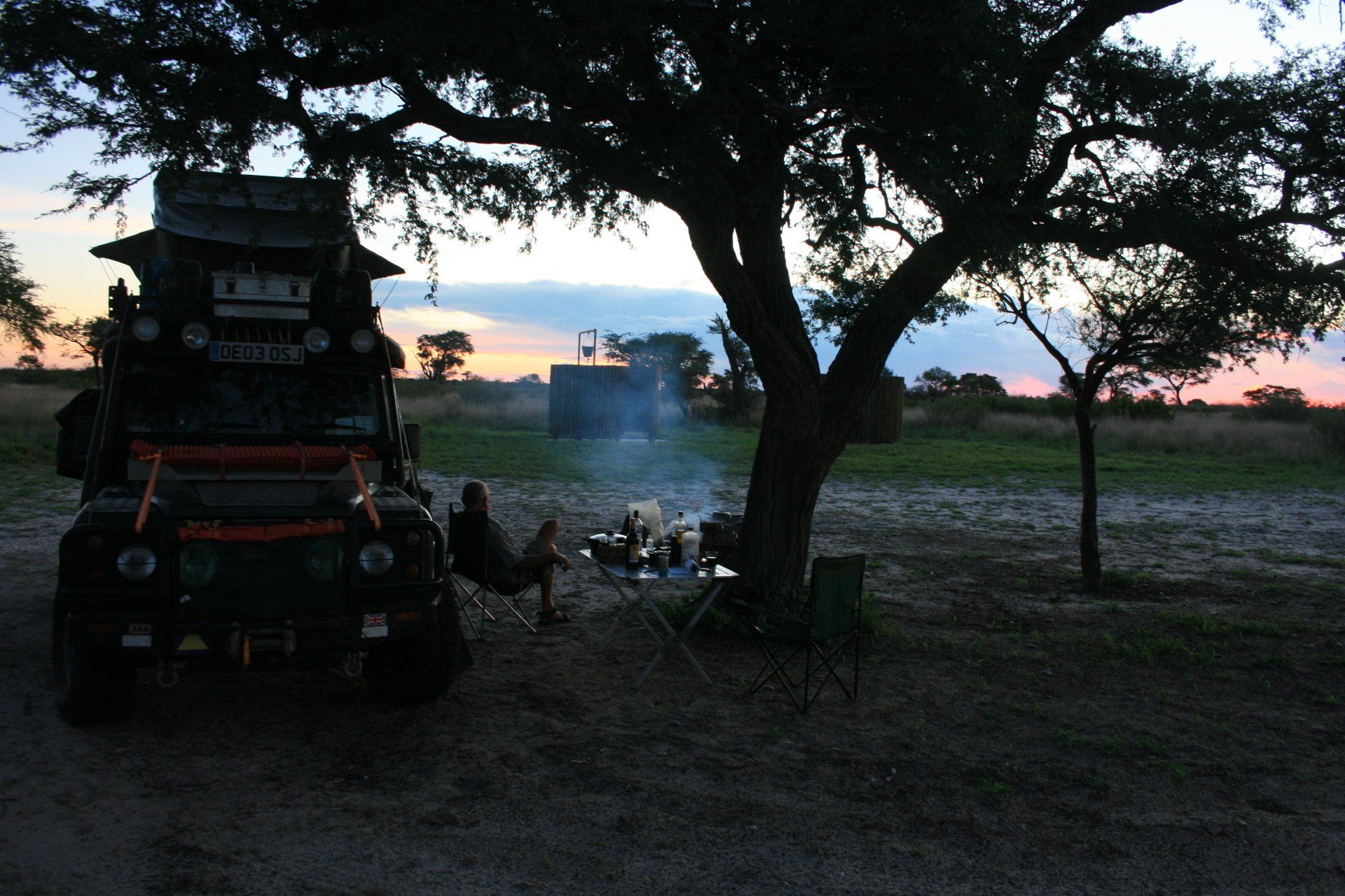
Camping – Khutse Game Reserve, Central Kalahari – Moreswe Pan Camp KH02 – the old KH24. A brilliant site near a dry pan with waterhole. This pitch was completely isolated with the only other two pitches here being probably a mile away. There was supposed to be one nearby but we never saw it. Very peaceful. No facilities save a long drop toilet and bucket shower but no water. No electricity
Cost = as previous night.
Coordinates - S23 33.718 E24 05.812
Altitude = 1072 metres
Day 305 - Thursday 10th December 2009
Trip miles = 25354 miles (40566 km) Daily miles = 33 miles (53 km)
Daily Route – In and around Khutse Game Reserve.
Camping – Khutse Game Reserve, Central Kalahari – Sekushuwe Pan Camp KH15. Another brilliant site near a dry pan but without a waterhole. This pitch was completely isolated with the nearest other being probably 4km away. Very peaceful. No facilities save a long drop toilet and bucket shower but no water. No electricity
Cost = as previous night.
Coordinates - S23 17.064 E24 23.393
Altitude = 990 metres
Day 306 - Friday 11th December 2009
Trip miles = 25497 miles (40795 km) Daily miles = 143 miles (229 km)
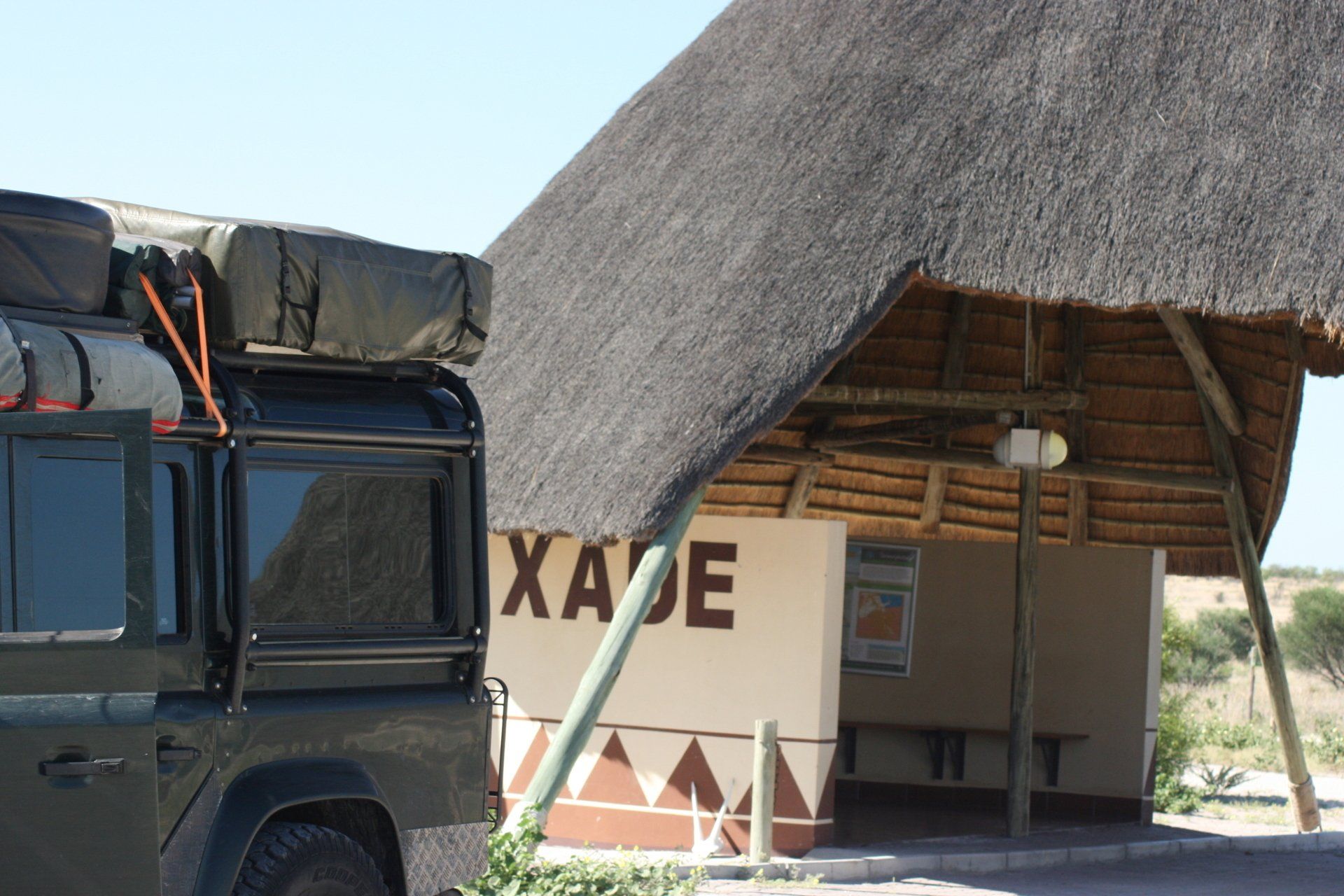
Daily Route – Khutse Game Reserve to Xade, Central Kalahari Game Reserve.
Camping – Xade, Central Kalahari Game Reserve. Another lovely and completely isolated site with no facilities.
Cost = 30 Pula per person per night. This was paid at Khutse Gate when we entered but was payable to the Wildlife Department rather than Bigfoot Tours as the Central Kalahari Game Reserve is still administered by the state.
Coordinates - S22 20.518 E23 06.207
Altitude = 998 metres
Day 307 - Saturday 12th December 2009
Trip miles = 25654 miles (41046 km) Daily miles = 157 miles (251 km)
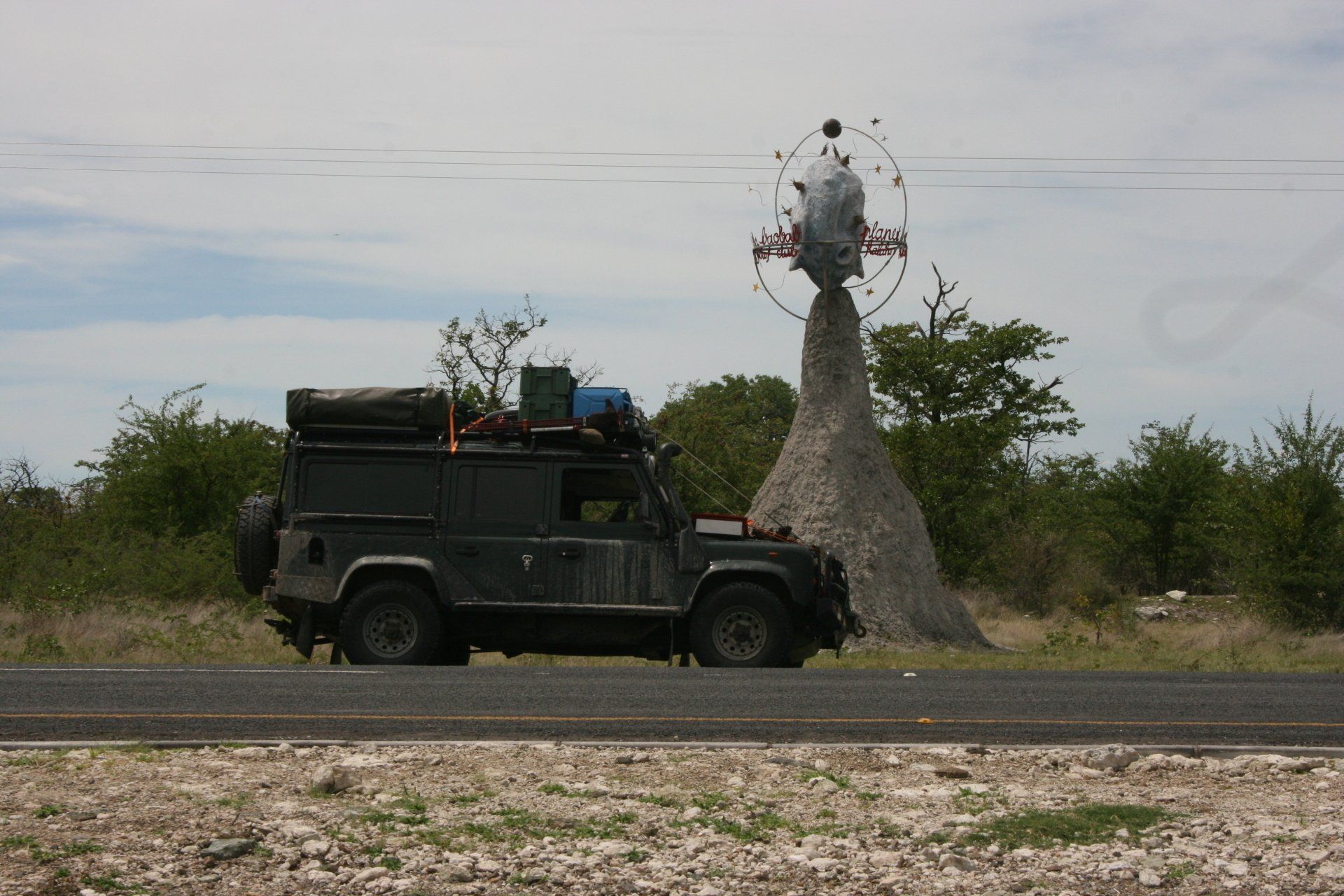
Daily Route – Xade Gate, Central Kalahari Game Reserve to Ghanzi and then north an hour to El Fari.
Camping – a nice site with good pitches. Nice new ablution block with hot water. Electricity. Not far off the main Gaborone, Ghanzi and Maun road.
Cost = 35 Pula per person per night.
Coordinates - S21 21.519 E22 08.159
Altitude = 1123 metres
Day 308 - Sunday 13th December 2009
Trip miles = 25906 miles (41450 km) Daily miles = 252 miles (403 km)
Daily Route – El Fari, north of Ghanzi to Sehitwa and north to Drotsky’s Cabins, south of Shakawe.
Camping – a pleasant site with pitches varying in size set among the Okavango Riverside woods alongside the restaurant and cabins. A popular stopover for those going to and from Namibia. Good ablution blocks with hot water. Electricity. Fire wood provided. Run boat trips.
Cost = 110 Pula per person per night.
Coordinates - S18 24.935 E21 53.266
Altitude = 1003 metres
Day 309 - Monday 14th December 2009
Trip miles = 25906 miles (41450 km) Daily miles = 0 miles (0 km)
Daily Route – In and around Drotsky’s Cabins
Camping – as previous night
Boat trip whole day = 900 Pula + the fuel used = 287 Pula
Day 310 - Tuesday 15th December 2009
Botswana to Namibia
Trip miles = 25925 miles (41480 km) Daily miles to border = 19 miles (30 km)
Daily Route – Drotsky’s Cabins to Momemba border crossing into Namibia.