Africa4x4
African Adventure - Our Trip
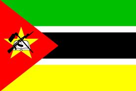
Republic of Mozambique
Dates: 1st September 2009 to 23rd September 2009
21 Days
Mozambique miles = 1923 miles (3088 km)
Trip miles = 16737 miles (26780 km)
Country Overview (as at 2010)
Mozambique at 802,000 km2 (UK 243,000 km2) is slightly smaller than France and Italy together. It has a population of 22,900,000 (UK 62,000,000) and a population density of per 28.7 km2 (UK 255 per km2).
Bordered by Tanzania for 756 kms; Malawi for 1569 kms; Zambia for 419 kms; Zimbabwe for 1231 kms; South Africa for 491 kms; and Swaziland for 105 kms. Has a coastal length of approx. 2500 kms with the Indian Ocean. Formerly Portuguese East Africa.
Low point = sea level: High point = 2,436 Monte Binga near Tanzanian border near Lake Malawi (Nyasa)
Capital - Maputo
Official language - Portuguese and other tribal languages. English reasonably wildly spoken.
Entry issues: Passports with 6 months remaining after departure date. Visas required by UK Nationals, 30 day single entry stay costs US$25 + US$2 for the form + US$3 processing fee. Situation regarding visas not at all clear with conflicting advice in guide books and no information as such on Foreign Office site nor Mozambique Government site - most of the advice suggests getting a visa in advance of visit: not much help for flexible travelling. We chose a busier crossing, the Mwanza/Zobue border post with its 8 km wide no-mans-land, in the hope they would have the forms and means to issue a visa and as it happens we entered relatively easily. Make sure your Dollars are virginal - the ones with biro on them were rejected!
Very relaxed border crossing as it happens
Vehicle issues: Carnet de Passage required. Photo driving licence or international licence required.
Drive on left. Insurance, third party, for 30 days = US$23 issued by agent in border post.
2 warning triangles; fire extinguisher and reflective jacket required.
Keep all documents to hand, but secure, for occasional police checks: switch on hazard warning lights when stopped by police.
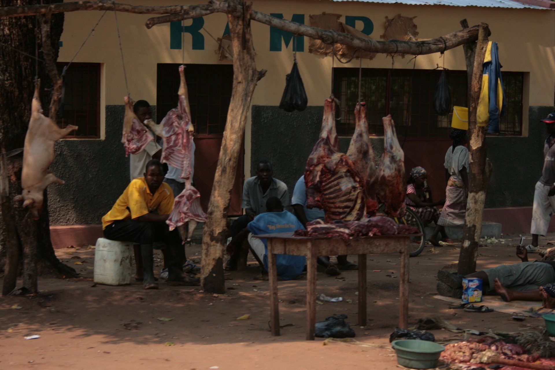
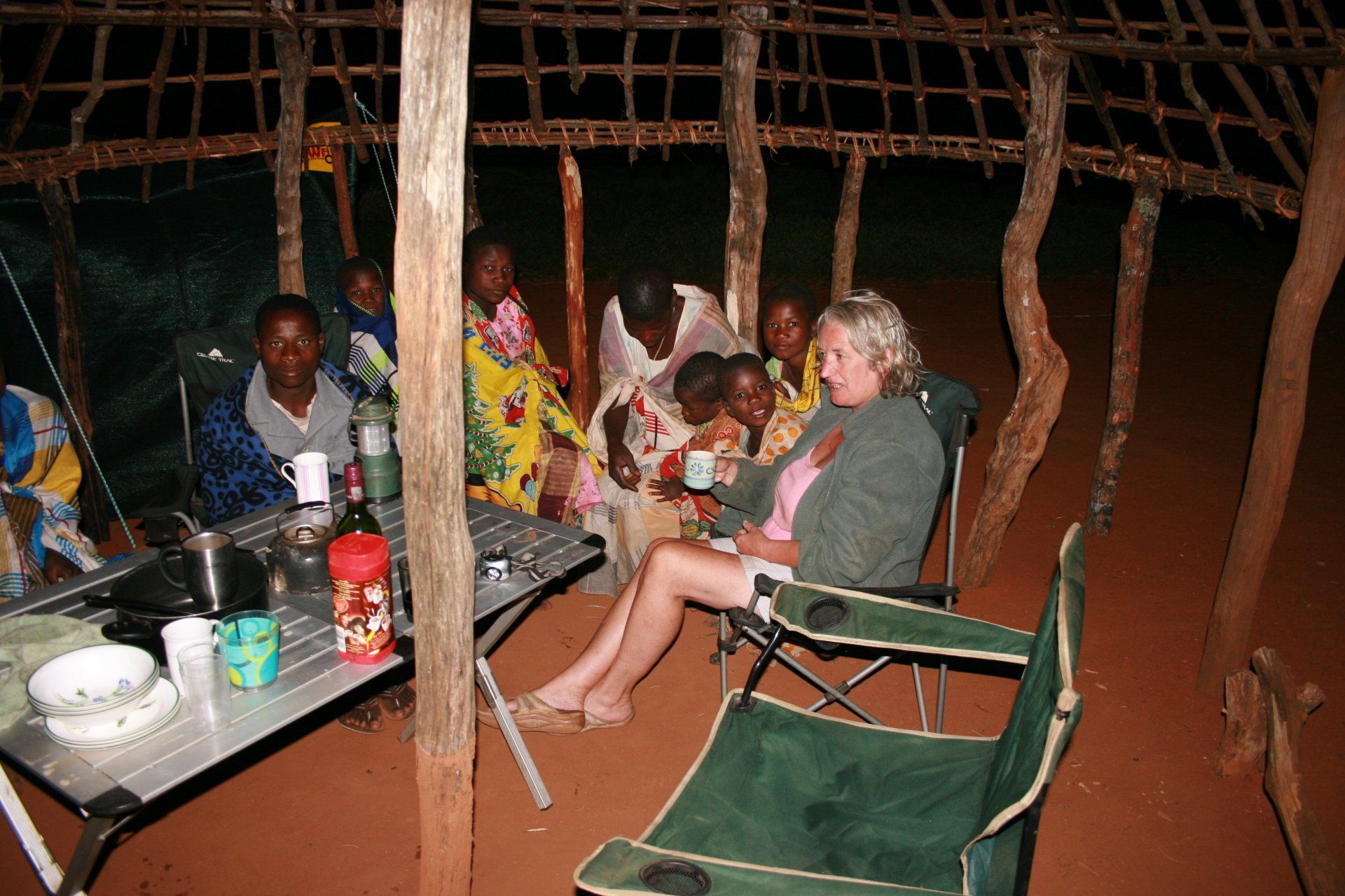
Police checks not as frequent as some countries and all very friendly and with the exception of one incident, not the extent of police corruption anticipated (apart from one attempt to fine me for speeding, unsuccessfully). Few, if any, campsites had electricity or hot water. Not many tourists with the exception of South Africans, most of whom head for the sea.
Some confusion regarding requirement to display yellow on blue triangle on front off-side bumper. The police officer I spoke to didn’t know; the South Africa AA say one is required but I couldn’t get one until in South Africa but displayed it anyway as a trophy! Believed only required if towing a trailer when should be displayed front of vehicle and rear of trailer.
Petrol and Diesel widely available at most towns and large villages. All garages are cash only, all attended and usually with a screen washer – small tip usual. As with all of Africa, will squeeze as much in as possible, usually leading to spills!
Average cost of diesel = £0.58
Banks; ATMs; Credit Cards
ATMs could be very challenging, mainly available in the larger towns but even these were a problem. Credit cards accepted in the larger supermarkets in the larger towns but these were very few and very far between.
Telephones: International dialling code +258. Fairly good mobile coverage in towns and along major routes. We used Zain. Cheap SIMs and top up cards widely available from street sellers.
Time (UTC = Coordinated Universal Time, equal to GMT) = UTC+02
Currency
UK£ rate at time of visit
Metical Novo Mtn
£1 = 50Mtn: 100 Meticais Novo = £2.00
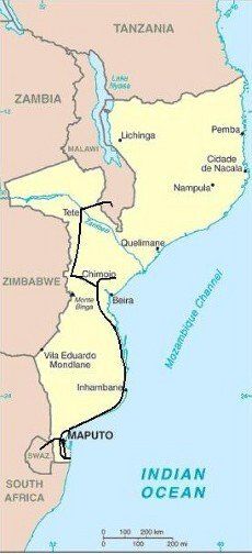
Route and Camping - Mozambique
Day 205 - Tuesday 1st September 2009 CONTINUED
Malawi to Mozambique
Trip miles = 14814 miles (23702 kms) Daily miles = 182 miles (291 kms)
Daily Route – Likhutuli Campsite, Mulanje to Blantyre and Mwanza and into Mozambique to Tete on the Zambezi.
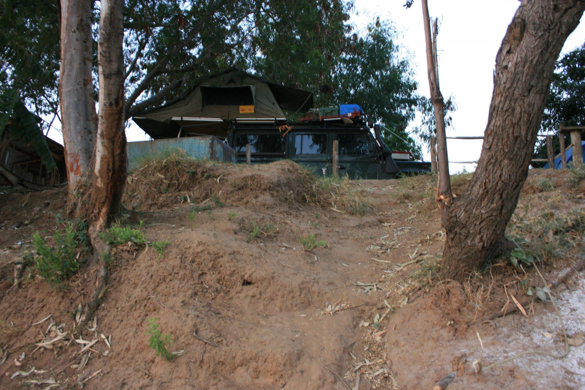
Camping – Jesus e Bom Campsite, Tete. Apparently the only official campsite in Tete; set in a rather insalubrious area and the site itself was little better. Quite a few workers filled much of the site although we managed to squeeze in right above the river bank. The ablution block was rustic, being polite, but busy when the workers were there. No electricity.
Cost – 200Mtn per person per night.
Coordinates - S16 09.316 E33 36.818
Altitude = 126 metres
Day 206 - Wednesday 2nd September 2009
Trip miles = 15058 miles (24093 kms) Daily miles = 244 miles (390 kms)
Daily Route – Tete down to Changara and south towards Chimbo, turning west on the EN6 towards Mancia to the Casa Msika Campsite.
Camping – Motel Casa Msika Campsite, Chicamba Dam near Mancia. A large, peaceful site away from the main buildings on the banks of the lake. Restaurant and bar. Good ablution block with hot water. Electricity.
Cost – 100Mtn per person per night.
Coordinates - S19 02.327 E33 o4.111
Altitude = 643 metres
Day 207 - Thursday 3rd September 2009
Trip miles = 15058 miles (24093 kms) Daily miles = 0 miles (0 kms)
Daily Route – In Casa Msika Campsite.
Camping – as previous night.
Day 208 - Friday 4th September 2009
Trip miles = 15174 miles (24278 kms) Daily miles = 116 miles (186 kms)
Daily Route – Casa Msika Campsite to Chimoio and into the Gorongosa National Park.
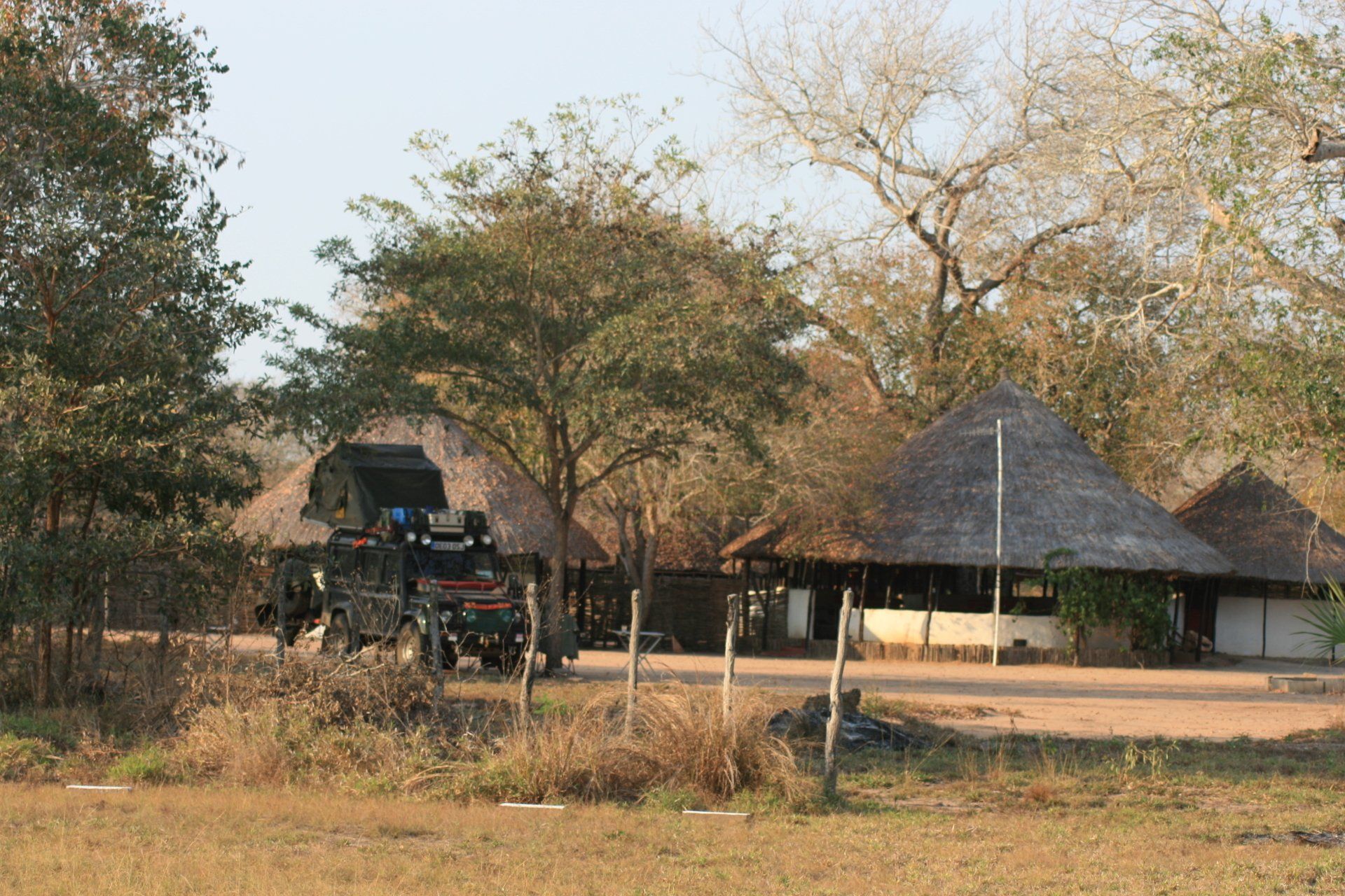
Camping – Chitengo Safari Camp, Gorongosa National Park. A nice large site next to the gates of the National Park. Excellent restaurant and bar plus swimming pool. Good ablution block. Dining shelter with washing up facilities, electricity available in shelter.
Cost – 420Mtn per person per night
Coordinates - S18 58.703 E34 21.119
Altitude = 34 metres
Park fees – 200Mtn per person per day + 200Mtn per vehicle per day.
Conservation fee to take own vehicle into park = 500Mtn per day.
Day 209 - Saturday 5th September 2009
Trip miles = 15231 miles (24370 kms) Daily miles = 57 miles (91 kms)
Daily Route – In and around Gorongosa National Park.
Camping – as previous night.
Day 210 - Sunday 6th September 2009
Trip miles = 15295 miles (24472 kms) Daily miles = 64 miles (102 kms)
Daily Route – In and around Gorongosa National Park.
Camping – as previous night.
Day 211 - Monday 7th September 2009
Trip miles = 15261 miles (24418 kms) Daily miles = 0 miles (0 kms)
Daily Route – In Gorongosa National Park.
Camping – as previous night.
Day 212 - Tuesday 8th September 2009
Trip miles = 15261 miles (24418 kms) Daily miles = 0 miles (0 kms)
Daily Route – In Gorongosa National Park.
Camping – as previous night.
Day 213 - Wednesday 9th September 2009
Trip miles = 15338 miles (24541 kms) Daily miles = 43 miles (69 kms)
Daily Route – In Gorongosa National Park.
Camping – as previous night.
Day 214 - Thursday 10th September 2009
Trip miles = 15420 miles (24672 kms) Daily miles = 82 miles (131 kms)
Daily Route – Gorongosa National Park to Gorongosa Town to Canda and up Mount Gorongosa.
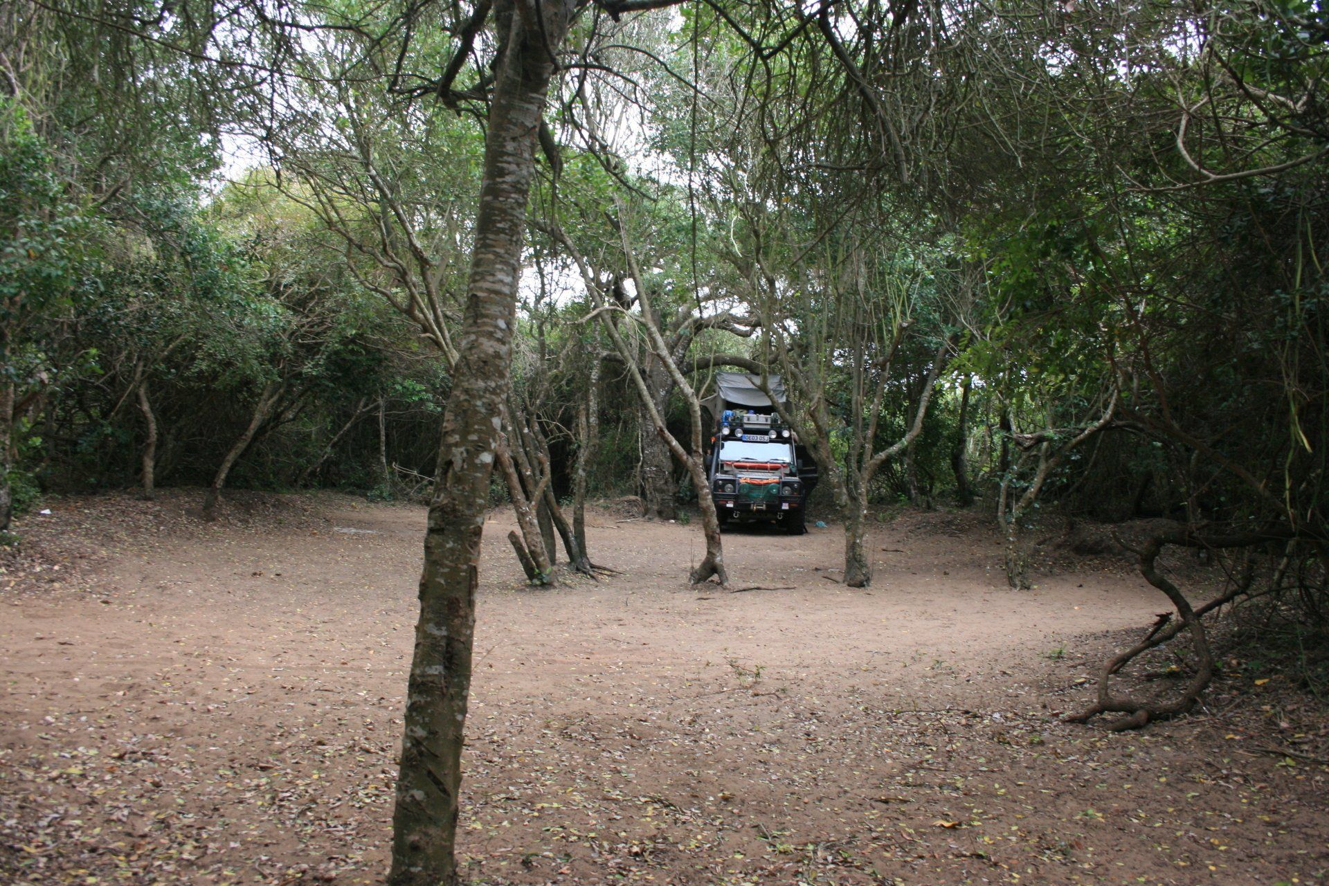
Camping – Mount Gorongosa Park. Pitch was just an open area on the mountain side with no facilities at all. Lovely scenery.
Cost – included in park fees.
Coordinates - S18 28.918 E34 02.017
Altitude = 900 metres
Park fees and Sacred Mountain ceremonial "permit" – 480Mtn.
Day 215 - Friday 11th September 2009
Trip miles = 15652 miles (25043 kms) Daily miles = 232 miles (371 kms)
Daily Route – Mount Gorongosa to Gorongosa town to Inchope and south to the Rio Save Game Reserve.
Camping – Papagaio Camp, Rio Save Game Reserve. A nice quiet campsite with reasonable ablutions with hot showers. No electricity.
Cost – 300Mtn per person per night.
Coordinates - S21 00.548 E34 17.617
Altitude = 41 metres
Day 216 - Saturday 12th September 2009
Trip miles = 15737 miles (25179 kms) Daily miles = 85 miles (136 kms)
Daily Route – Rio Save Game Reserve to Inhassoro.
Camping – Hotel Seta Campsite, Inhassoro. A nice quiet, apart from the distant music, campsite with good ablutions with hot showers. Very nice restaurant overlooking the beach and sea. Electricity.
Cost – 250Mtn per person per night.
Coordinates - S21 31.933 E35 12.096
Altitude = 5 metres
Day 217 - Sunday 13th September 2009
Trip miles = 15737 miles (25179 kms) Daily miles = 0 miles (0 kms)
Daily Route – In Inhassoro.
Camping – as previous night.
Day 218 - Monday 14th September 2009
Trip miles = 15839 miles (25342 kms) Daily miles = 102 miles (163 kms)
Daily Route – Inhassoro, south of Vilanculos and back to Vilanculos.
Camping – Vilanculos Rest Camp, Vilanculos. What could have been a very nice site was still recovering from the 2007 cyclone and was still very run down: we were the only ones there as it seems the overlanders have gone elsewhere. The ablution block was just about adequate but did have hot showers, if you could work out the water works. Electricity.
Cost – 200Mtn per person per night.
Coordinates - S21 59.590 E35 19.457
Altitude = 4 metres
Day 219 - Tuesday 15th September 2009
Trip miles = 15839 miles (25342 kms) Daily miles = 0 miles (0 kms)
Daily Route – Vilanculos across, by dhow, to the island of Magaruque in the Bazaruto Archipelago.
Camping – as previous night.
Day 220 - Wednesday 16th September 2009
Trip miles = 15993 miles (25589 kms) Daily miles = 152 miles (243 kms)
Daily Route – Vilanculos down to Maxixe.
Camping – Campismo de Maxixe, Maxixe. A busy site, thanks to workers overnighting in tents or chalets, but adequate. Electricity.
Cost – 100Mtn per person per night.
Coordinates - S23 51.842 E35 21.000
Altitude = 9 metres
Day 221 - Thursday 17th September 2009
Trip miles = 16123 miles (25797 kms) Daily miles = 130 miles (208 kms)
Daily Route – Maxixe inland to Panda and down to Ponta Zavora.
Camping – Zavora Lodge, Ponta Zavora. A popular site for sport fishermen, snorkelers and divers (there are some good reefs nearby) with chalets available. We were the only campers with a choice of the lower camp, sheltered but no view, or up in the dunes where it was windy but with a sea view. The small dune site had small shelters. Electricity was available but use at your own risk!
Cell: +27 (0) 835146846 Tel: +27 (0) 13 7500431 Fax: +27 (0) 13 7513535 Email: zavoralodge@mweb.co.za
Cost – 240Mtn per person per night.
Coordinates - S24 30.904 E35 12.001
Altitude = 14 metres
Day 222 - Friday 18th September 2009
Trip miles = 16373 miles (26197 kms) Daily miles = 250 miles (400 kms)
Daily Route – Ponta Zavora south on EN 1 to Marracuena and back up to Casa Lisa Campsite because the intended ferry across to another campsite was broken.
Camping – Casa Lisa, some 20kms north of Marracuene, just off the EN 1. A nice site, popular as an overnighter. Large camping area with some shelters. No electricity. Bar and restaurant + swimming pool.
Tel: +27 (0)13 751 2220 UK Tel: 020 3318 3967
Email: casa_lisa@mozbookings.com
Cost – 210Mtn per person per night.
Coordinates - S25 35.099 E32 39.310
Altitude = 58 metres
Day 223 - Saturday 19th September 2009
Trip miles = 16489 miles (26382 kms) Daily miles = 116 miles (186 kms)
Daily Route – Casa Lisa Campsite to Marracuene to Maputo and south to the Maputo Special Reserve.
Camping – Main Gate, Maputo Special Reserve. A basic site handy as a stop-over before entering the Reserve. Ablution block available, if open. No electricity.
Cost – included with Park fees - 200Mtn per person per night.
Coordinates - S26 30.318 E32 42.993
Altitude = 15 metres
Park fees – see camp fees
Day 224 - Sunday 20th September 2009
Trip miles = 16537 miles (26459 kms) Daily miles = 48 miles (77 kms)
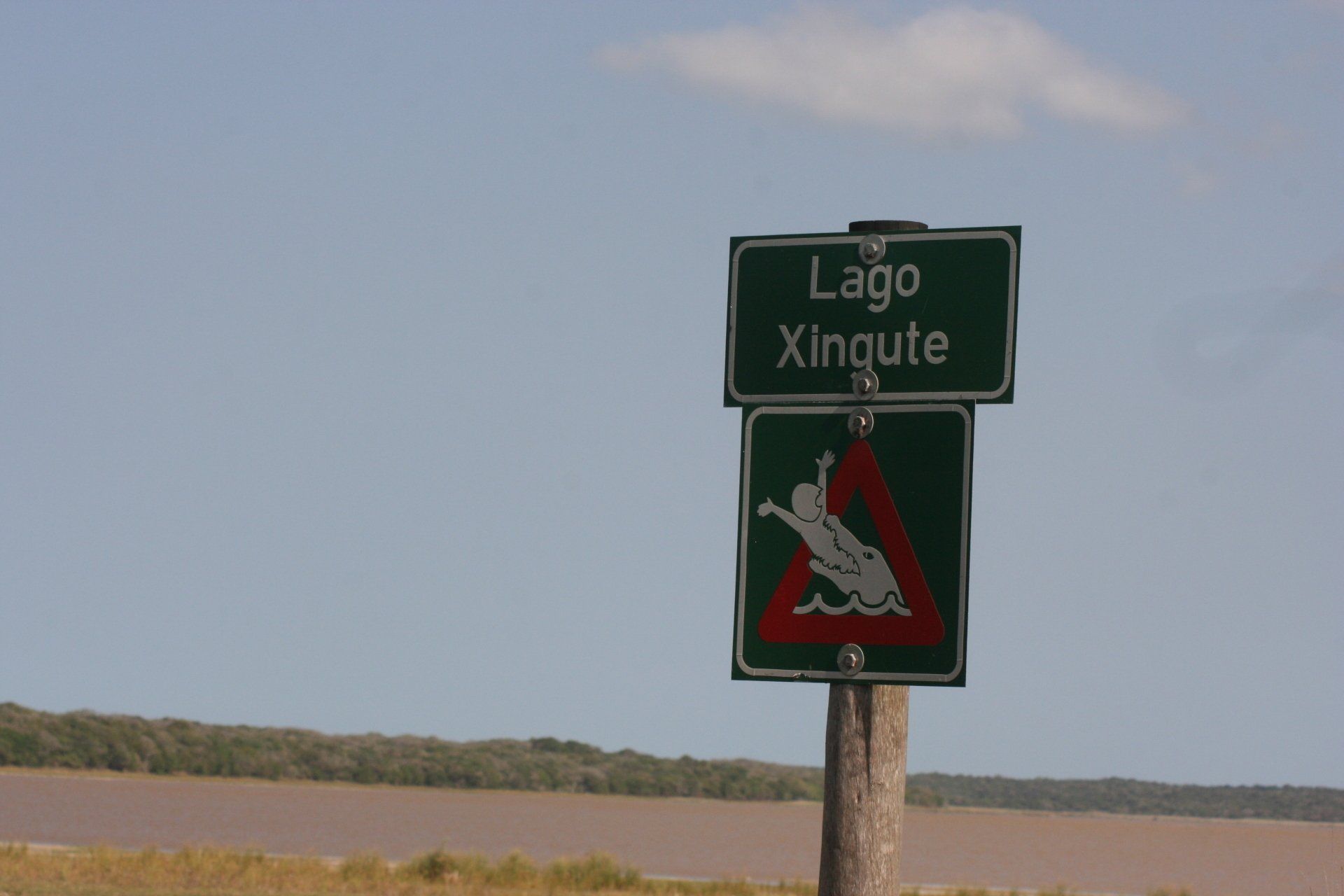
Daily Route – In and around the Maputo Special Reserve.
Camping –Ponta Milibangalala Camp, Maputo Special Reserve. What should have been a lovely wilderness site turned out to be somewhat disappointing as it was quite busy with South African sport fishermen and the pitches were small. No facilities at all although there was a well for water.
Cost – as previous night
Coordinates - S26 26.980 E32 55.498
Altitude = 9 metres
Day 225 - Monday 21st September 2009
Trip miles = 16584 miles (26534 kms) Daily miles = 47 miles (75 kms)
Daily Route – In and around the Maputo Special Reserve.
Camping –Ponta Milibangalala Camp, Maputo Special Reserve. A better pitch than last night. No facilities save a long drop toilet and a well for water.
Cost – as previous night
Coordinates - S26 26.936 E32 55.433
Altitude = 8 metres
Day 226 - Tuesday 22nd September 2009
Trip miles = 16638 miles (26621 kms) Daily miles = 54 miles (86 kms)
Daily Route – In and around the Maputo Special Reserve.
Camping – Main Gate, Maputo Special Reserve. A basic site handy as a stop-over before entering or leaving the Reserve. Ablution block with cold showers. No electricity.
Cost – free according to the girl on reception.
Coordinates - S26 30.318 E32 42.993
Altitude = 15 metres
Park fees – as Day 223 but a little unclear. We paid a total of 1200Mtn for three days in the park and got four nights camping for that.
Day 227 - Wednesday 23rd September 2009
Trip miles to border = 16737 miles (26780 kms) Daily miles to border = 99 miles (159 kms)
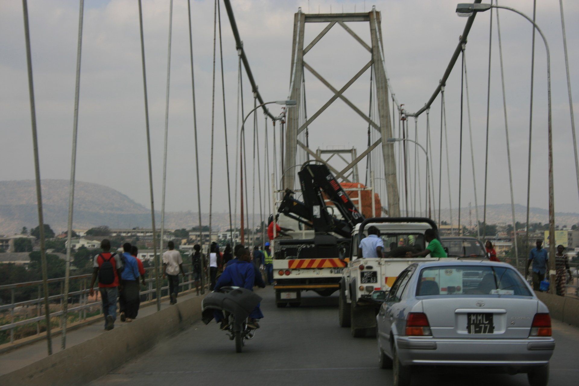
Daily Route – Maputo Special Reserve north to the Catembe ferry and over to Maputo. From Maputo west to the Namaacha border crossing into Swaziland.